Significant progress on GIMI, GeoSciML, and emerging 3D geospatial workflows
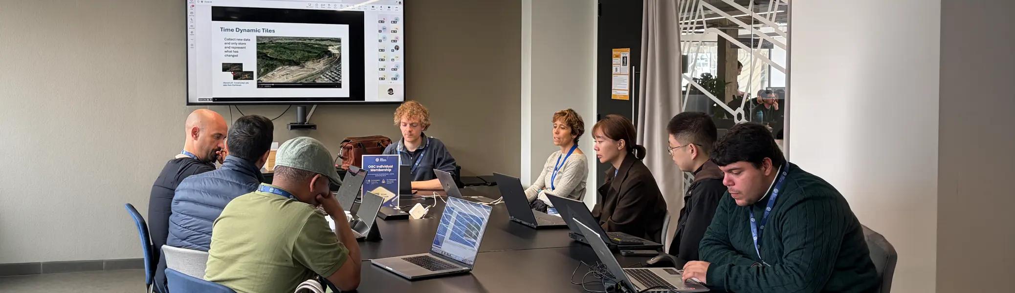
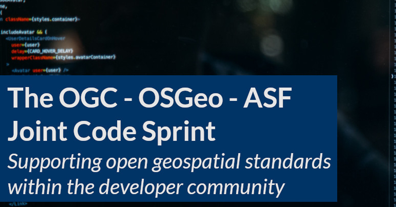
Significant progress on GIMI, GeoSciML, and emerging 3D geospatial workflows highlighted the OGC London Builder Days Code Sprint (11–13 May 2026), where developers, standards experts, researchers, and practitioners came together for three days of hands-on collaboration and implementation.
Hosted at Geovation, Ordnance Survey’s innovation hub, and generously supported by NGA, NASA, IUGS-CGI, the Khronos Group, Esri, and Cesium (Bentley Systems), the sprint brought together 90 in-person and virtual participants from around the world. Contributors included Testbed-21 participants, OGC members, and members of the broader geospatial community, ranging from experienced implementers to students and first-time attendees. Travel stipends helped broaden participation from Europe, North America, and Asia-Pacific.
Unlike a traditional conference, a code sprint is built around doing. Participants spend their time testing implementations, writing code, solving technical challenges, and learning directly from one another. The result is faster progress, stronger standards, and a more connected community.
Key Outcomes
Across all tracks, the sprint delivered:
- Progress toward GeoSciML JSON encoding and schema development
- New automation and validation capabilities
- Refinement and testing of GIMI implementations and training materials
- Exploration of advanced 3D geospatial workflows and interoperability approaches
- Stronger collaboration between developers, standards experts, and domain specialists
Most importantly, the event reinforced the value of bringing people together to solve interoperability challenges through practical implementation.
Collaboration That Moves Work Forward
Each day combined technical briefings, breakout sessions, coding workstreams, and demonstrations. But as many participants noted, some of the most valuable moments happened between the formal sessions.
Working side-by-side enabled conversations that would have taken weeks to resolve remotely. Long-standing technical questions were addressed in real time, new ideas emerged through informal discussions, and participants had the opportunity to build relationships across organizations, disciplines, and continents.
That collaborative spirit has always been at the heart of OGC code sprints—and London was no exception.
Progress Across GIMI, GeoSciML, and 3D Geospatial Workflows
GIMI
The GIMI (GEOINT Imagery Media for ISR) track concentrated on implementation testing, training materials, and interoperability challenges. Participants reviewed deliverables, exchanged practical implementation experience, and explored adoption barriers.
A particularly valuable outcome was deeper discussion around alignment with GeoHEIF and broader stakeholder expectations. These conversations helped identify challenges that may be slowing adoption and provided important direction for future work.
The sprint also enabled direct collaboration between key contributors, helping resolve issues that had persisted through remote discussions while bringing new perspectives and real-world use cases into the conversation.
GeoSciML
The GeoSciML team made significant progress toward a more developer-friendly JSON encoding of the standard.
Participants advanced schema development, created automated workflows for publishing code lists, and developed validation capabilities for both schemas and example datasets. The group also experimented with generating example content through a combination of expert-authored material and AI-assisted approaches, supported by validation workflows.
The work highlighted the strength of collaboration between software implementers and geoscience domain experts—an essential ingredient in the continued evolution of GeoSciML.
3D Tiles and glTF
The 3D Tiles and glTF track explored emerging workflows for 3D geospatial visualization, including concepts aligned with BIM environments and real-time data integration through technologies such as SensorThings API.
Participants advanced discussions around implementation approaches, interoperability, and future development opportunities. While exploratory in nature, the work strengthened alignment between geospatial and 3D visualization communities and helped identify promising directions for future collaboration.
More Than Code
The sprint also featured a mentor stream with more than 15 lightning talks, providing participants with opportunities to learn directly from experienced implementers and standards practitioners.
Together, the technical work and mentoring activities created an environment that supported both innovation and knowledge sharing.
Looking Ahead
Progress on GIMI, GeoSciML, and 3D geospatial workflows demonstrated the value of bringing implementers together to test ideas, solve challenges, and advance interoperability through practical development.
The work completed in London will help inform future standards activities, research initiatives, and implementation efforts across the OGC community. As OGC continues to expand opportunities for collaborative development, the lessons, relationships, and technical progress generated during the sprint will help shape future code sprints and community initiatives.
We look forward to continuing the momentum.
Acknowledgements
OGC extends its sincere thanks to our sponsors—NGA, NASA, IUGS-CGI, Khronos Group, Esri, and Cesium (Bentley Systems)—and to our host, Geovation (Ordnance Survey), for supporting this event.
Most importantly, thank you to all participants, mentors, and contributors whose expertise, curiosity, and collaboration made the sprint a success.