At the end of another year of prototyping software, experimenting with data access, and debating how to overcome geospatial technology’s many challenges, teams from OGC member organizations gathered in Washington DC to share 2023’s work and help OGC decide what challenges we should address in 2024.
Representatives of government agencies and industry – from FEMA and Natural Resources Canada, to Intact, Canada’s largest insurer – highlighted their successes, current needs, and aspirations. Through panel discussions, demos, and conversations over coffee, teams from startups, like FloodMapp and Navteca, to established industry players, like Bentley Systems and GDIT, shared what they could do to meet today’s needs and shape the tools and systems we’ll be using next.
Here are three key takeaways learned from listening in:
- While looking at maps is the obvious way to interact with spatial data, advances in Artificial Intelligence (AI) mean that a conversation with a map may become normal. Though what this change implies is less clear.
- Sensors, surveys, and citizens continue to produce data at scale. Different approaches – from indexing and cataloging to tagging and the semantic web – help us navigate this endless sea of data, yet too often unable to find the right data when we need it.
- If we were to add another ‘A’ to the FAIR Principles, it might stand for ‘Actionable.’ Even when you can find the data you need, access it, and combine it with other data, robust methods for transforming all that data into actionable intelligence remain limited. The push for organizations to report on how their data supports their decisions may, in 2024, drive collaboration on Standards for describing chains of modeling, inference, and reasoning.
AI is changing how we interact with maps and spatial data
Following the late 2022 public launch of ChatGPT, “AI” became mainstream in 2023 – and its applications in geospatial broadened. This was clear at Innovation Days 2023.
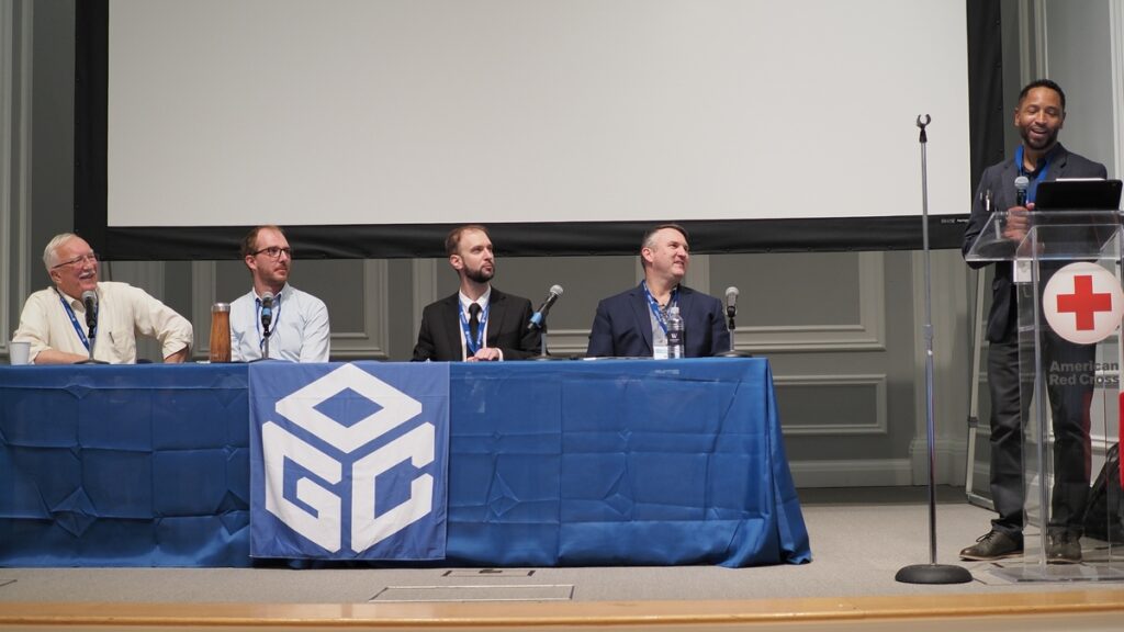
In the early 2020s, excitement around AI in the geospatial tech community centered around automating the laborious process of identifying the important objects in satellite images and pulling out key data points from large datasets. This transformed the work of many geospatial analysts and developers, as noted by AI Panel chair Rich Frazier (USGS), but had limited impact on how most people interact with maps and spatial data. The panel’s conversation on AI centered on the potential consequences of our newfound ability to speak to an AI tool and ask it to create a map or run a spatial analysis.
Many of us are already doing this in specific contexts, such as asking your phone for driving directions, but advanced spatial analysis still requires mice and menus. This is why Natural Language Processing (NLP) felt like such a breakthrough in 2023. First, it has the potential to bypass specialized software and technical language and almost remove the barrier to entry for harnessing geospatial data. It’s therefore no surprise that NLP featured in several presentations, including those by Navteca co-founder Shayna Solis and Voyager Search’s founder Brian Goldin. Additionally, it might let developers and analysts operate more efficiently and create better products. As highlighted by Matt Webster of Barbaricum, who paraphrased economist Richard Baldwin from his presentation at the May 2023 World Economic Forum’s Growth Summit, “AI won’t take your job, but someone using AI will.” The specialist using NLP AI technology has another tool to deploy and they’re likely to use it to their advantage.
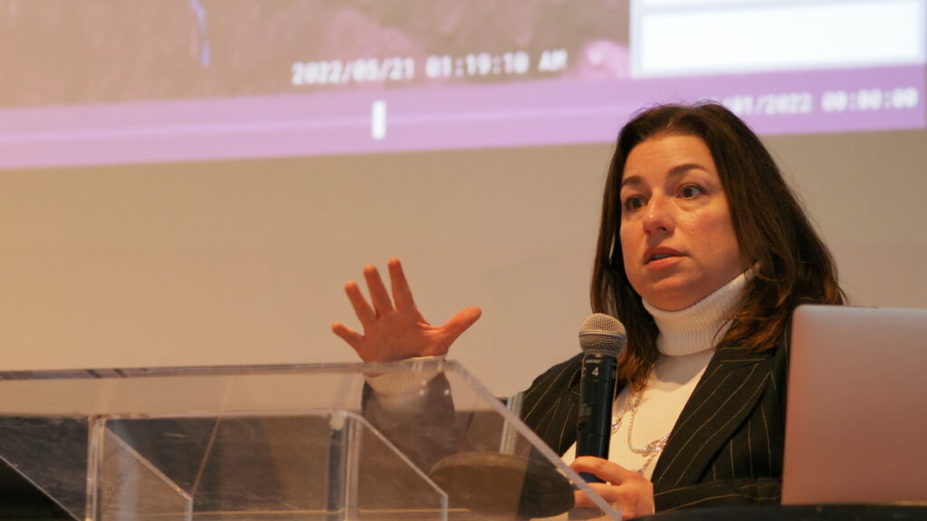
The takeaway is that the current stage of AI not only democratizes access to geospatial information but also enhances user experience and engagement – if we can learn to ask the right questions with the right words. This is the sticky part of the problem. If geospatial really is in everything, there’s a diverse set of questions (aka prompt engineering) for us to teach the NLP AIs to understand. The organizations who gathered at Innovation Days 2023 might start building lots of one-task NLP tools, proliferating the “driving directions” application, or aim for more general ways of describing our mapmaking aims when we speak with an AI tool. Either way, this area looks set for a busy 2024.
Finding the right data when we need it is still too hard
“When it comes to asset-scale climate resilience planning, most people don’t want data, they want data-based answers to key questions. Our challenge is helping them extract actionable intelligence from our data in the form of plain-language answers to their questions.”
David Herring, Communication, Education and Engagement Division Chief – NOAA Climate Program Office.
A common refrain at Innovation Days 2023 was the ongoing difficulty surfacing the ‘right data’ when it’s needed. Scott Kaplan (USGS, Civil Air Patrol) spoke about the critical need for the ‘right data’ to support crews fighting wildfires. Kasie Richards (American Red Cross) called out the need for the ‘right data’ for planning for future patterns of extreme weather events that will look different from the past. Tom Landry (Intact) pointed to the need to enable public-private partnerships that could make the ‘right data’ held by private entities discoverable and usable for applications that benefit the public.
Catalogs, indexes, semantic knowledge organization systems, and machine-readable metadata systems have proliferated as organizations attempt to keep pace with the growth in data, but the conversations among panelists suggest that these approaches haven’t solved the problem – and it’s worsening as more data is generated.
Alan Lediner (NYC GISMO) characterized the inability to ask for and find what we need in all this data as a “communication problem.” This framing links what we’re stuck on (finding the right data) to where we’re moving toward (using natural language prompts) but requires (again) that we figure out how to describe what we mean when we say ‘the right data.’
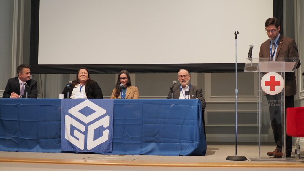
There’s another factor that makes addressing the findability problem particularly urgent for 2024: spiraling costs due to duplication. People often make local copies of data they think they’ll need so that they can later access it quickly and reprocess it on their own infrastructure. Dave Borges (CEOS, NASA) pointed to the unintended consequences of this widespread practice: spiraling financial (and environmental) costs, and, perversely, greater difficulty finding the ‘right’ version of a dataset, as multiple organizations make their own versions of datasets cloud-accessible. It’s hard to see us breaking this habit without creating confidence that other organization’s datasets will be findable (and generally FAIR) when they’re needed. Designs that account for people’s behavior and attitudes toward their data sources may push forward Findability as the organizations gathered at Innovation Days 2023 build the next cloud-native geospatial systems.
Data is actionable when it is accountable
Responding to emergencies, preparing for future extreme events, and redesigning infrastructures for resilience in a changing climate are all high-stakes uses of geospatial data and technologies that impact lives and communities. Craig Fugate (FEMA), in his keynote at Innovation Days 2023, emphasized these impacts.

Craig encouraged us to think differently about our challenges, suggesting specific changes like taking a “maximum of maximums approach” when formulating an emergency response plan that can quickly scale up the response as an emergency is unfolding. Equally important, in his judgment, were proposed changes to longer term planning and response, such as explicitly considering equity and equality when planning how to deploy resources to prevent disasters or rebuild after they occur. This push for innovation, many years in the making and challenging in its own right, is facing new complications as it intersects with a growing drive for accountability.
Accountability, and the ability to demonstrate that decisions were backed by sound data and reasoning, is emerging as an essential part of decision-making processes – particularly for government and public sector organizations. It’s also supporting new, effective practices because it can allow people and organizations to confidently back the changes made. Synthesizing comments from Shanna McClain (NASA), Norman Speicher (DHS), and Ryan Ahola (NRCan), this in practice means the geospatial community needs to develop methods and systems that allow audits of the complex chains of data, models, tools, and people that inform decisions.
Building these methods and systems will require organizations to grapple with how we express uncertainty, which is only compounded by the growing use of AI tools. One example of how this challenge may play out came from the AI Panel’s discussion on visually representing results in ways that won’t impart false confidence. Juliette Murphy’s (FloodMapp) presentation provided another, highlighting the challenges of getting people to think in terms of probabilities when buying a home in a flood-prone area. Looking to 2024, expect to see considerations of uncertainty and accountability continue to intersect as new geospatial approaches to climate & disaster resilience are developed.

What comes next?
The tendency for geospatial organizations to operate as “Silos of Excellence” was a common theme brought up by several speakers at Innovation Days 2023. The collaborative, consensus-driven approach that underpins all activities at OGC is a proven method for overcoming this challenge. Progress in 2024 will require more collaboration across the community, including between those who use geospatial tools and those affected by the decisions they’re informing. Indeed, how we interact with location data, how we find the geospatial information we need, and how we make data-driven decisions accountable are all issues being tackled by our community through OGC COSI Initiatives, Working Groups, and events. A few to look out for in 2024:
- The OGC Artificial Intelligence in Geoinformatics Domain Working Group (GeoAI DWG) is exploring the implications of natural language processing (NLP) integration with GIS. This public group is broadly focused on fostering collaboration among diverse stakeholders to address gaps and impacts of AI on OGC standards, and is launching a monthly speaker series in early 2024.
- SpatioTemporal Asset Catalog (STAC) is a proposed OGC Community Standard that conforms to OGC APIs and provides an interoperable metadata framework that simplifies the process of finding and using geospatial assets from different providers. In 2024, multiple OGC Code Sprints will continue to give our community a platform to collaborate on emerging OGC and Community Standards and implementations.
- Trust is an essential component of producing actionable geospatial intelligence. As the push continues towards interoperable tool chains for modeling, inference, and reasoning, Standards such as OGC Training Data Markup Language for Artificial Intelligence (TrainingDML-AI) can improve trustworthiness by formalizing how modeling training data is prepared, including data provenance and quality. The Training Data Markup Language for AI Standards Working Group will continue this important work in 2024.
- The Climate and Disaster Resilience Pilot will kick off in Spring 2024, continuing to prototype new Standards-based tools, models, and methods for critical applications – from building warning systems that support natural disaster response to integrating Climate models into emergency management planning. There’s still time to apply to participate and receive funding to address these critical challenges.
By necessity, this blog is only able to cover a small snapshot of the many discussions, insights, and conversations resulting from OGC Innovation Days 2023. A big thank you goes out to all the presenters, panelists, attendees, and other OGC community members that helped make it such a success.
We look forward to seeing many of our community members at the 128th OGC Member Meeting in Delft, Netherlands, March 25-29, and later at OGC Innovation Days 2024.
Want to join the conversation around collaboration and innovation across geospatial data and technologies? Contact OGC or sign up to the OGC Newsletter to hear about upcoming events, funding opportunities, and the latest geospatial Standards.
