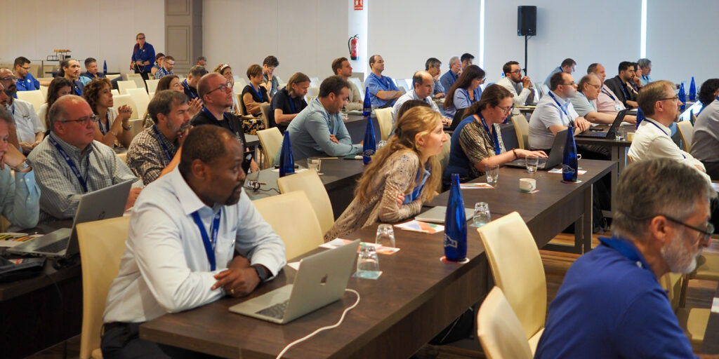
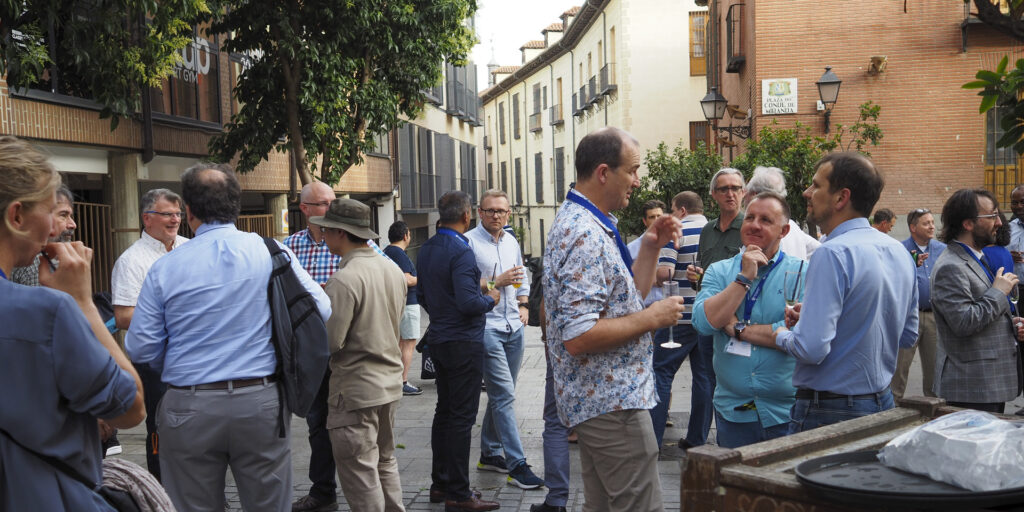
OGC holds three Member Meetings each year – one each in Europe, the Americas, and Asia Pacific – where OGC’s Standards Working Groups (SWGs), Domain Working Groups (DWGs), Members, and other geospatial experts meet to progress Standards, provide feedback on initiatives being run by the OGC Collaborative Solutions and Innovation (COSI) Program, hear about the latest happenings at OGC, network with the leaders of the geospatial community, and see what’s coming next. The meetings are open to the public, though there are some closed sessions, and provide a great way to start to get to know – and get involved with – the OGC Community.
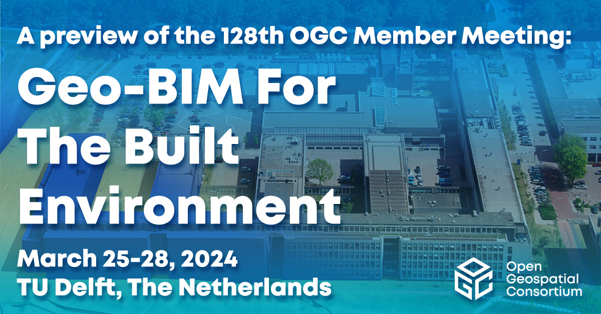
The next OGC Member Meeting, OGC’s 128th, will be held at TU Delft on March 25-28, 2024. Fitting for TU Delft and the Netherlands, the theme of the meeting will be ‘Geo-BIM For the Built Environment.’ Meeting sponsorship is generously provided by TU Delft and Geonovum, with support from GeoCAT and digiGO. In the lead up to the event, Geonovum produced a short video highlighting what to expect in Delft.
“In many respects, the Netherlands is the world leader in the use of advanced integration of building data and detailed urban mapping, as well as the use of Open Standards and Open APIs to interface with those data to provide citizen services,” commented Scott Simmons, OGC’s Chief Standards Officer.
“More specifically, TU Delft is a world-leading research institute in Geo-BIM integration, while Geonovum, another meeting sponsor, has done so much to promote the effective use of Open Standards in government & e-government, including documenting proof that Open Standards make things work better, faster, and cheaper.”
Under the theme, the OGC Member Meeting will include several sessions related to the built environment and the integration of Geospatial and Building Information Models (BIM). Such sessions will include: a Geo-BIM Summit that non-members are encouraged to attend; a Built Environment Joint Session; and a Land Administration Special Session.
On top of these, there will be a meeting of the OGC Europe Forum, sessions on Geospatial Reporting Indicators, Observational Data, the ‘Today’s Innovations, Tomorrow’s Technologies’ Future Directions Session, networking opportunities, and the usual host of OGC Working Group meetings on topics ranging from APIs to agriculture, and the sea-floor to space. Most sessions are open to the public, with special encouragement for non-OGC-members to attend the Geo-BIM Summit and any of the Domain Working Group meetings. As always, the opening session will consist of presentations from local organizations that showcase the world-leading geospatial technologies seen in The Netherlands.

Geo-BIM Summit
The Geo-BIM Summit will run on Wednesday afternoon and will focus on the integration of geographic data and Building Information Models (BIM).
“In the Building Information Modeling (BIM) world, geographical data about the environment of the construction is becoming increasingly important,” said Prof. Dr. Jantien Stoter, Chair of the OGC 3D Information Management DWG, and part of the organizing committee for the Geo-BIM session. “Similarly, in the Geospatial domain, the need for detailed information about buildings is also growing. There are many initiatives to develop solutions that better facilitate this integration, including projects that realize this integration for a specific use case; automated conversion of data between the two domains; methods to georeference BIM files in a standardized and straightforward way; and profiles for standards that establish the integration for specific use-cases. The Geo-BIM session will present such initiatives in order to address the question of “what more is needed to improve the integration?” This will further shape the OGC & buildingSMART Road Map on integration of both domains, and contribute to the best practices currently under development.”
Built Environment Joint Session
Two sessions on the Built Environment will run on Wednesday morning. The first is entitled “The Future of Land Infra” and will discuss what more we need to do in the standardization of built infrastructure data, in terms of updating, improving or adding to the OGC Standards Portfolio, and will include input from several OGC activities: the Integrated Digital Built Environment (IDBE) subcommittee, LandAdmin DWG, Model for Underground Data Definition and Integration (MUDDI) SWG; and the Geotech Interoperability Experiment, as well as the wider OGC Collaborative Solutions and Innovation (COSI) Program.
The next session is entitled “What Urban Digital Twins mean to OGC” and will focus on the wider work that OGC is doing in the space and how the Digital Twins DWG can help harmonize it. The session will also include a cross-working-group discussion on the in-progress OGC Urban Digital Twins Position Paper, as well as a presentation by Binyu Lei, researcher at the Urban Analytics Lab at the National University of Singapore, entitled “Humans as Sensors in Urban Digital Twins.”

Land Admin Special Session
Following the opening session and keynotes on Monday is a Land Admin special session run by the OGC Land Administration (Land Admin) DWG.
“Worldwide, effective, and efficient land administration is an ongoing concern, inhibiting economic growth and property tenure,” commented Eva-Maria Unger, co-chair of the OGC Land Admin DWG. “Only a limited number of countries globally have a mature land information system.”
The Land Admin Special Session will also be the first meeting of the soon-to-be-formed OGC Land Administration Domain Model (LADM) SWG.
“This is a fairly significant session as we’re going to use it to kick off an effort to create an encoding Standard for Land Administration data that’s globally relevant,” said Scott Simmons. “It’s great to be holding it in Delft because Kadaster, the Netherlands’ Cadaster, Land Registry and Mapping Agency, is one of the world leaders in providing expertise on use of Land Administration and Land Administration modernization across not just Europe but for developing nations around the world. So it’s an opportunity to bring together their expertise along with representatives from all levels of sophistication of land management around the world.”
Peter van Oosterom continued: “The new SWG will work on the Land Administration Domain Model (LADM) Implementation Standard in OGC, which will be included as part 6 of the existing ISO 19152 series of Standards. This sounds modest, but is actually a big step forward. The LADM Standards today are only Conceptual Models, which means that countries implementing them have to find their own solutions for developing their country file, technical encodings, code list values, processes/workflows, etc.
“An open LADM Implementation Standard will not only reduce implementation costs by providing free, proven technical encodings, but would also enable solution vendors to provide commercial off-the-shelf software that works across multiple countries/jurisdictions, rather than having to adapt it to each unique approach.”
Networking, social, and other sessions
In addition to these sessions, the 128th OGC Member Meeting will also see meetings of over 50 different working groups or committees covering almost the full breadth of geospatial applications and domains, as well as several social and networking events.
Registration remains open, as do sponsorship opportunities. Non-members are encouraged to attend. To see the full agenda, visit ogcmeet.org.


