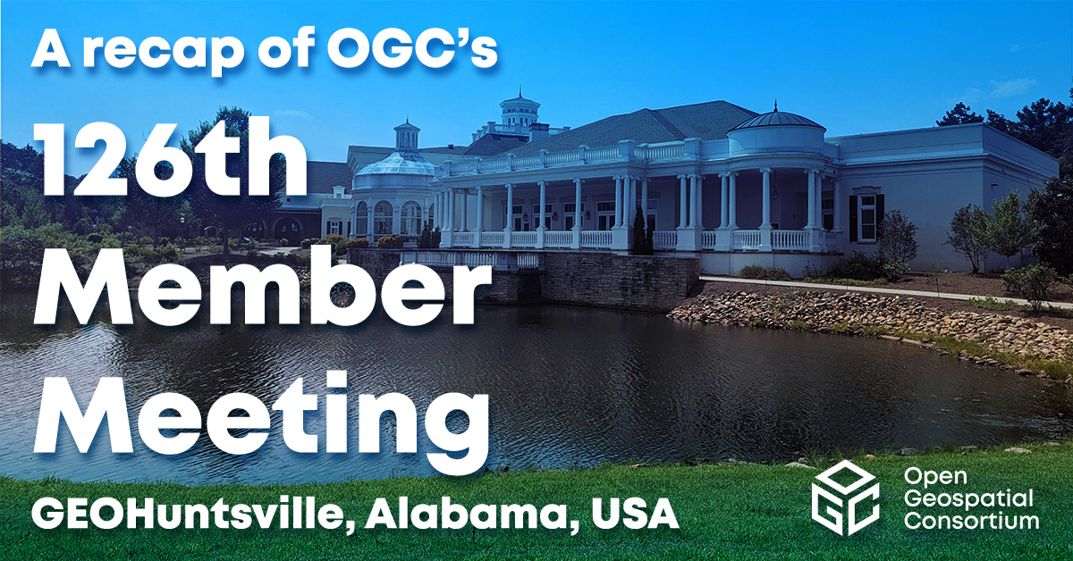
From June 5-9, almost 200 geospatial innovators, influencers, and leaders from across the globe attended OGC’s 126th Member Meeting – with 100 more attending virtually. Hosted by GEOHuntsville at the beautiful Huntsville Botanical Garden in Alabama, USA, meeting attendees spent the week discussing the latest geospatial innovations and hearing how geospatial is transforming organizations and industries across the globe.
The meeting was additionally sponsored by Hexagon, OpenSensorHub (Botts Innovative Research and GeoRobotix), Ethar, Womble Bond Dickinson, and Compass-HSV.
The week saw the usual abundance of Standards Working Group (SWG) and Domain Working Group (DWG) meetings, networking & social events (including a fantastic Sunday pre-meeting gathering at the Signals Museum, hosted by Ethar), two award presentations – a Lifetime Achievement Award as well as the new Community Impact Award – and several special sessions, including a Space Standards ad hoc, an Open Science Summit, a Portrayal Workshop, a Connected Systems track, a Defense and Intelligence Track, and a Climate Workshop.
The full agenda for the 126th OGC Member Meeting is available here. Read on for an overview of the best bits, below.
Opening Session
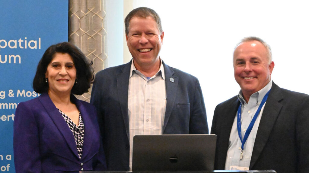
Opening the meetings on Monday morning was David Lucas, the Executive Director of host GEOHuntsville, who welcomed attendees and provided event context. This was followed by a welcome from the City of Huntsville Mayor, Tommy Battle.
Next, we heard from Stan Tillman, of meeting sponsor Hexagon, who provided information on the company with specific information regarding Hexagon Digital Reality capabilities. Dr. Chris Tucker, representing additional meeting sponsors OpenSensorHub participants Botts Innovative Research and GeoRobotix, then highlighted the upcoming session on Tuesday for Connected Systems.
OGC CEO Dr. Nadine Alameh then provided a CEO Welcome and described the value of recent organizational changes in OGC. Prashant Shukle, Chair of the OGC Board of Directors then gave a greeting from the Board and highlighted a commitment by the Board to more actively participate in OGC activities.
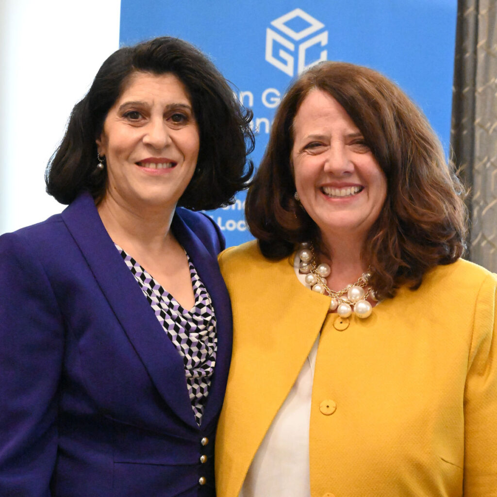
Nadine’s regular fireside chat followed, this time with Patty Mims, Director of Global National Government, Esri. As has become the trend for these chats, they discussed the motivation for joining the geospatial industry as well as provided advice for others to join and succeed in the community.
Trevor Taylor, Senior Director, Member Success and Development of OGC, welcomed new members and refreshed attendees on the new OGC membership model that’s now in place for new members.
I, Scott Simmons, Chief Standards Officer of OGC, then wrapped up the session by providing some logistics information for the week and describing the process to be followed in the coming weeks-to-months to roll out of the new Technical Committee Policies and Procedures. I also described the new tools in place for submitting presentation requests and special sessions for meetings.
Special Sessions
The Space Standards ad hoc continued the discussion from the 125th Member Meeting concerning where OGC should work in Space Standards, which identified a number of topical areas for Standardization as well as existing Standards covering some portions of those areas. Participants at this session identified areas of focus and proposed a new Domain Working Group (DWG) that will begin the chartering process in the coming weeks. OGC Members can access the presentations and a recording on this page in the OGC Portal.
The Open Science Summit focused on a proposal for a new OGC Pilot project for an Open Science Persistent Demonstrator. NASA, Google, and the European Space Agency (ESA) each presented information on their own platforms. The Summit then followed with an open discussion on which other platforms might exist and what should be included. OGC Members can access the presentations and a recording on this page in the OGC Portal.
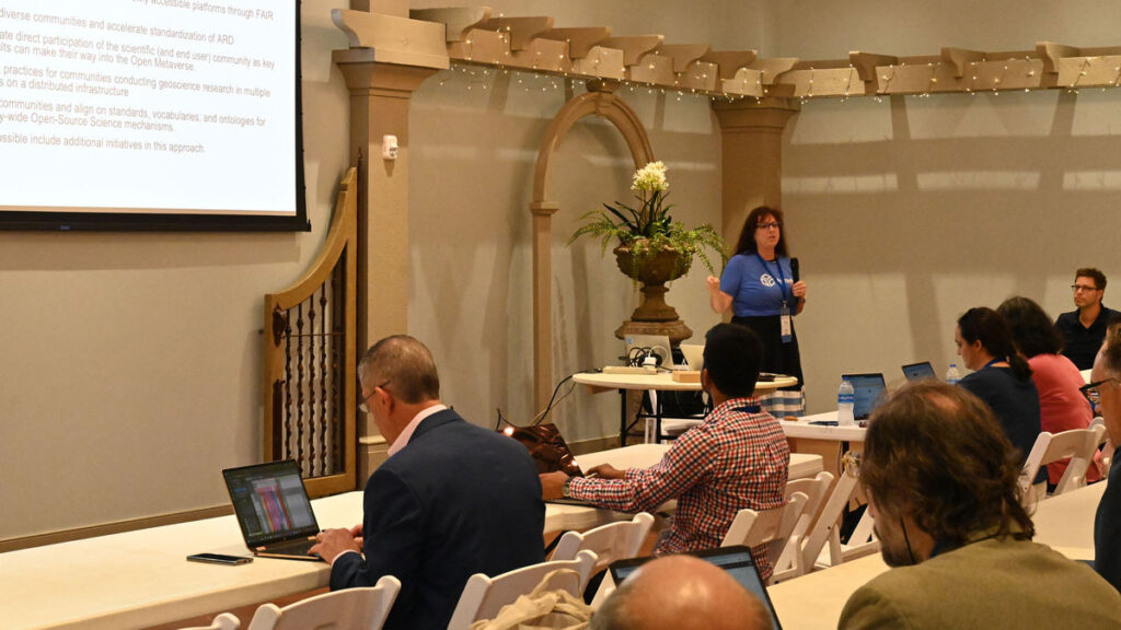
The Portrayal Workshop: OGC has been modernizing its Standards for the portrayal of geospatial data. Numerous other communities have dependencies on the OGC Standards portfolio and need to understand the applicability of these newer Standards and how they replace the functionality of legacy Standards. The Portrayal Workshop was organized jointly with the International Cartographic Association (ICA) and was run to develop an OGC Technical Paper for “Standards supporting cartographic best practices.” OGC Members can access the presentations and a recording on this page in the OGC Portal.
The Connected Systems track: OGC has chartered new working groups to update and create a RESTful implementation of sensor-related Standards. The Autonomy, Sensors, Things, Robots, and Observations (ASTRO) Domain Working Group (DWG) investigates requirements and standardization targets and the Connected Systems Standards Working Group (SWG) is building the new Standards. These groups held a full-afternoon track to describe the intent of the Connected Systems API, the relationship of the work to other OGC APIs and the Sensor Web Enablement (SWE) Standards, and to demonstrate how the new Standards work in practice. OGC Members can access the presentations and a recording on this page in the OGC Portal, as well as the Demonstration here.
The Defense and Intelligence Track: The Defense and Intelligence DWG takes a broad look at the use of Standards in defense/intelligence operations as well as the requirements for interoperability that can be solved, in part, by Standards. The DWG held a full-afternoon track to explore the fundamental concepts and thus bring participants to a baseline of understanding. The session also explored where OGC members could contribute to new Standards in imagery & motion imagery as well as Space. OGC Members can access the presentations and a recording on this page in the OGC Portal.
The Climate Workshop: OGC’s Climate Resilience DWG organized a Climate Workshop for Friday where the DWG defined the nature of its mission for resilience as the “ability of a system to compensate for impacts.” The session highlighted numerous initiatives underway in OGC and other organizations, framing them in terms of opportunities for impact. The workshop also expressed a proposed timeline for the next OGC Climate Resilience Pilot. OGC Members can access the presentations and a recording on this page in the OGC Portal.
Today’s Innovation/Tomorrow’s Technology and Future Directions
The popular Today’s Innovation/Tomorrow’s Technology and Future Directions session focused on ongoing OGC research and deployment of the nascent OGC Rainbow (borne from the OGC Definitions Server), which represents the state-of-the-art in enabling semantic interoperability.
OGC Rainbow is a web-accessible source of information about things (“Concepts”) that the OGC defines or that communities ask the OGC to host on their behalf. OGC Rainbow comprises several registries linked to common access for both human- and machine-readable representation of the data.
The OGC Definitions Server has long provided Coordinate Reference System (CRS) definitions, terminology definitions used in OGC Standards, and code lists for various domains of interest. As the capability of the OGC Rainbow increases, OGC will be registering requirements from Standards, representation of the OGC Building Blocks, and linkages to other authoritative registries. OGC Rainbow will improve consistency in the geospatial standards community and allow for expedited development of new capabilities.
Dr. Ingo Simonis and Dr. Rob Atkinson of the OGC COSI Program explained the capabilities and use cases of the OGC Rainbow and moderated open discussion amongst participants regarding the use of OGC Rainbow. OGC Members can access the presentations and a recording on this page in the OGC Portal. Stay tuned to the OGC Blog for more on the OGC Rainbow soon.
Dinner & Awards
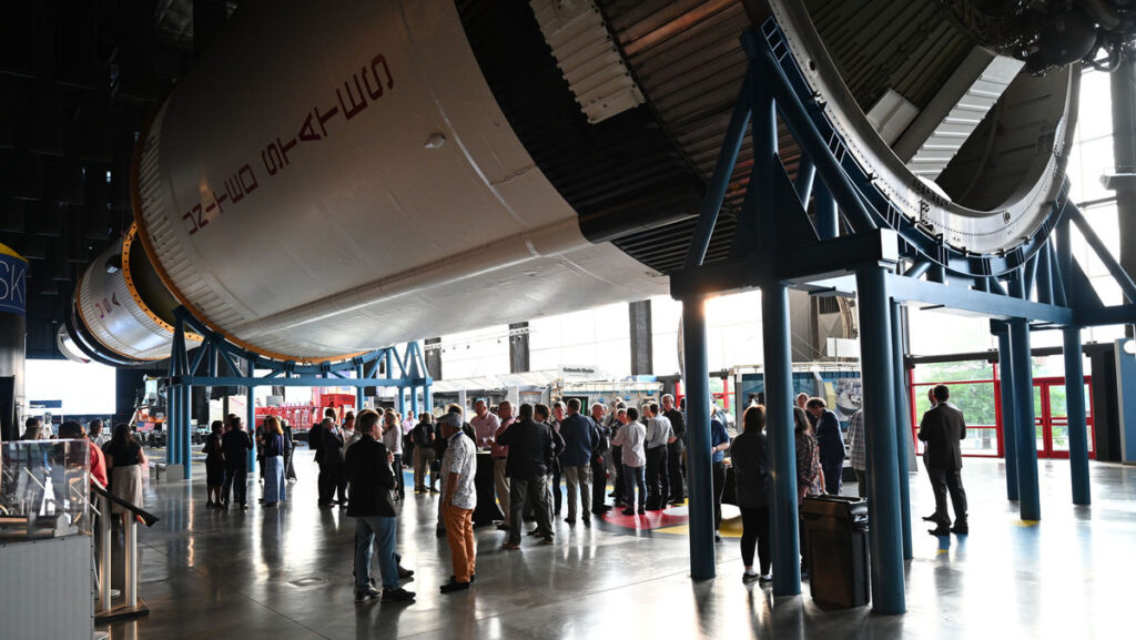
The always wonderful Executive Dinner was held on Wednesday night at the U.S. Space & Rocket Center – Davidson Center for Space Exploration, where attendees had the unforgettable experience of dining under an actual Saturn V rocket – one of only three in the world!
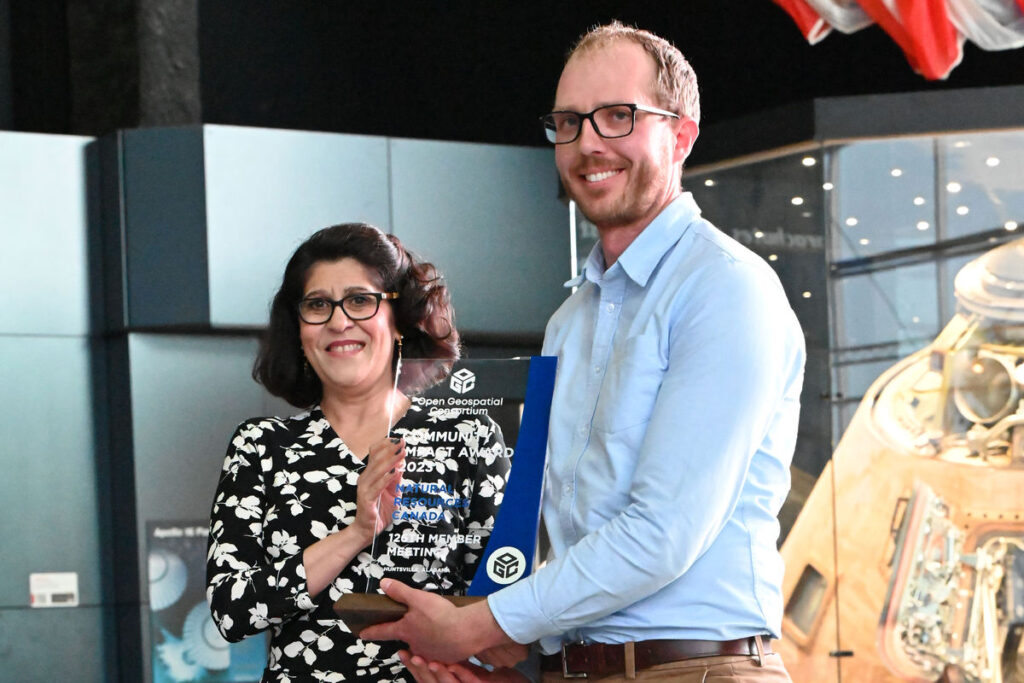
At the dinner, two awards were presented: Dr. Jeff de La Beaujardiere received the OGC Lifetime Achievement Award; and Natural Resources Canada received the inaugural OGC Community Impact Award.
Dr. Jeff de La Beaujardiere was selected for the Lifetime Achievement award due to his long standing leadership, commitment, and support for the advancement and uptake of standards used for the dissemination of Earth Science information. In the OGC community, Jeff is best known as the Editor of the OGC Web Map Service (WMS) Specification: a joint OGC/ISO Standard that now supports access to millions of datasets worldwide. OGC WMS was the first in the OGC Web Services suite of Standards and is the most downloaded Standard from OGC. But most importantly, the OGC WMS Standard truly revolutionized how geospatial data is shared and accessed over the web. Jeff was also a major contributor to other OGC Standards, including the OGC Web Services Architecture, the OGC Web Map Context, OGC Web Terrain Service, and OGC Web Services Common.
The new OGC Community Impact award highlights the importance of collaboration, volunteering time and energy, advancing technologies and standards, raising awareness, and helping solve critical issues across the geospatial community. Natural Resources Canada exemplifies all of these qualities through their championing of innovation and standards. They consistently go above and beyond as both an OGC Member, and as a member of the wider geospatial community.
My well-deserved congratulations go out to both recipients!
Important Things and the Closing Plenary
Wrapping up the week, I opened the Important Things session with a rapid, 15-minute summary of the entire meeting week that included slides and content from a large number of Working Group sessions. OGC Members can access the presentations and a recording on this page in the OGC Portal.
The Important Things session then featured a discussion on how much OGC SWGs should accommodate developer interests and existing applications vs. optimizing their Standards work to meet the Standard requirements. OGC Members then discussed the issue and provided numerous examples of the conflict in current work. OGC Members can read the notes from the session in the Etherpad “Important-Things-2023-06”.
The Closing Plenary, though mostly focused on presentations and voting, also saw several presentations. Carsten Rönsdorf of Ordnance Survey provided a summary of the effectiveness of the model-driven standard authoring that was used for CityGML 3.0 and is now underway with MUDDI. Ali Al’Awaji highlighted the success of recent cooperation between his organization, the General Authority for Survey and Geospatial Information (GASGI) and OGC. The remainder of the session advanced a number of Standards, SWGs, and documents toward vote or publication.
Thank you to our community
The GEOHuntsville Member Meeting was not only one of our most attended, but also one of our most memorable – with the beautiful grounds and the unforgettable Saturn V Rocket. As always it was a pleasure seeing our Members interacting, collaborating, and driving technology and standards development forward. It’s the vibrancy and enthusiasm of our community that makes OGC truly special – and my job so enjoyable. So I thank you all, once again, for your time & energy and your dedication to making OGC the world’s leading and most comprehensive community of location experts.
Be sure to join us for the 127th Member Meeting, happening September 25-29, 2023, at the Lifelong Learning Institute, Singapore. Registration and further info can be found at ogcmeet.org.
Sponsorship opportunities are also available: download this brochure or contact OGC for more info.
Be sure to subscribe to the OGC Update Newsletter to stay up to date on all things OGC, including future OGC Member Meetings, funding opportunities, and how to contribute to our open Standards.

