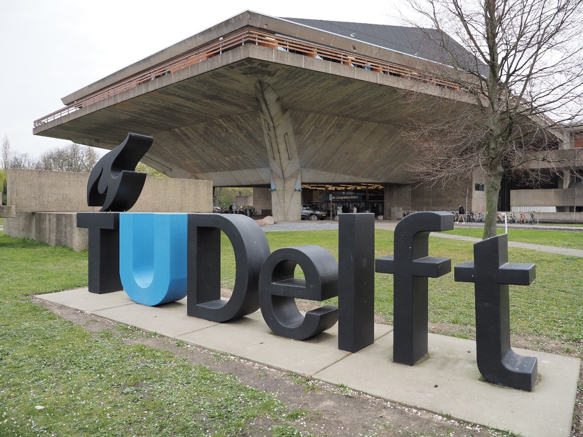
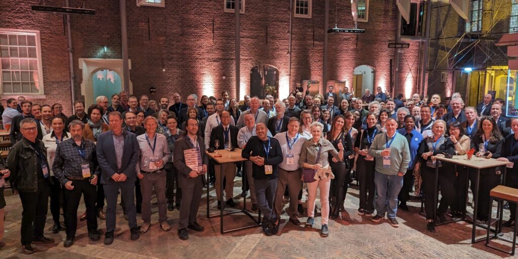
Two records were broken in Delft this March: not only was OGC’s 128th Member Meeting our biggest ever – with over 300 representatives from industry, government, and academia attending in-person (and over 100 virtual) – but the meeting also saw a record number of motions for votes on new Standards, highlighting the very productive activities undertaken by the OGC community in recent months.
Held in Delft, Netherlands from 25-28 March, 2024, OGC’s 128th Member Meeting brought together global standards leaders and geospatial experts looking to learn about the latest happenings at OGC, advance geospatial standards, and see what’s coming next. Hosted by TU Delft and sponsored by Geonovum with support from GeoCat and digiGO, the overarching theme for the meeting was GeoBIM for the Built Environment.
As well as the many Standards and Domain Working Group meetings, the 128th Member Meeting also included a Land Administration Special Session, a Geospatial Reporting Indicators ad hoc, a Data Requirements ad hoc, the OGC Europe Forum, an Observational Data Special Session, two Built Environment sessions subtitled The Future of LandInfra and What Urban Digital Twins Mean to OGC, a public GeoBIM Summit, a Quantum Computing ad hoc, and the usual Monday evening reception & networking session and Wednesday night dinner.
The dinner was held at the historic Museum Prinsenhof Delft, former residence of William of Orange, and – grimly – where he was assassinated. On a lighter note, during the dinner Ecere Corporation, represented by Jérôme Jacovella-St-Louis, received an OGC Community Impact Award for their tireless work in driving OGC Standards forward. Congratulations Ecere and Jérôme!
Also during the meeting members of the OGC GeoPose and POI SWGs in collaboration with the Open AR Cloud team and XR Masters, and support from Geonovum demonstrated interoperable AR browsers. The two AR browsers (one native app, MyGeoVerse by XR Masters, and spARcl, a WebXR-based browser) were able to share/see the same POIs while being geolocalized using the Augmented City Visual Positioning Service (VPS). The VPS receives requests from (and returns) ‘GeoPoses’ to any OGC-compliant app that has implemented the GeoPose standard. The project details are described on this page and captured in this two minute video on YouTube.
In tandem with the theme of GeoBIM, two other technology areas stood out during the meetings: Data Spaces, and the transition from OGC Web Services to OGC APIs.
Data Spaces
There has lately been a dramatic increase in the number of discussions on Data Spaces, both in and outside of OGC, as the concept becomes more commonplace in European projects and policy. As per the European Union Data Spaces Support Centre, a Data Space is defined as “an infrastructure that enables data transactions between different data ecosystem parties based on the governance framework of that data space.” In other words, the “space” in a Data Space defines a context for which the data are useful: a container, governance, and access. Given the ubiquitous use of geospatial data, directly and indirectly, an understanding of the Data Space ecosystem may be key to participate in emerging data infrastructures.
OGC Web Services to OGC API transition
The full set of capabilities offered by the OGC Web Services Standards (e.g., Web Map Service (WMS), Web Feature Service (WFS), etc.) is now reflected in OGC API Standards that have either been published, are approaching final approval vote, or are being actively developed. Over the coming months, OGC will establish a process and resources to aid in the transition to the more modern Standards, while ensuring that the user community recognizes that the legacy web services are still functional and valuable.
Opening Session
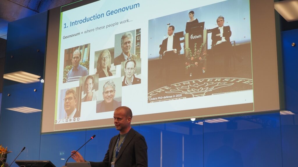
The week opened with a welcome from Friso Penninga, CEO of Geonovum, who outlined not only the work of Geonovum, but also the culture of Delft. Following this, Prof. Jantien Stoter of 3Dgeoinfo, TU Delft highlighted activities at TU Delft in the meeting theme area and previewed Wednesday’s GeoBIM Summit. Pieter van Teeffelen of digiGO then presented a Dutch platform for digital collaboration in the built environment. Finally, Jeroen Ticheler of GeoCat explained challenges in social welfare and the work of the GeoNetwork to address these challenges.
Next, it was time to settle a long-running dispute in OGC: who has the better chocolate, Switzerland or Belgium? After a blind taste-test, the audience voted Belgium as the winner. Is the debate now settled? Only time – and perhaps our taste buds – shall tell.
The chocolate contest was followed by a demonstration of the Netherlands Publieke Dienstverlening Op de Kaart (PDOK) geodata platform, which integrates a number of published and draft OGC API Standards.
Special tribute was then paid to two instrumental figures in OGC’s history who passed away in November 2023: Jeff de la Beaujardiere (OGC Gardels and Lifetime Achievement Awards recipient) and Jeff Burnett (former OGC Chief Financial Officer).
Today’s Innovation, Tomorrow’s Technology, and Future Directions
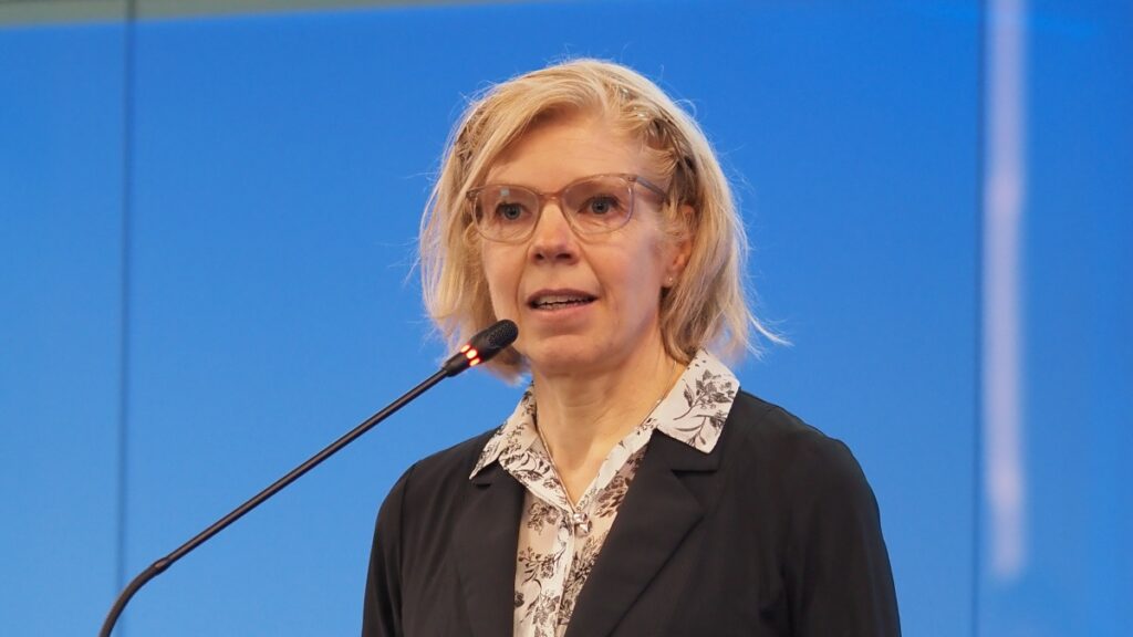
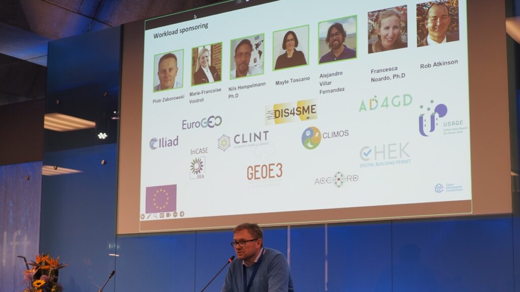
As always, the popular Today’s Innovation, Tomorrow’s Technology, and Future Directions session runs unopposed on the schedule so that all meeting participants can attend. At this Member Meeting, the session was presented by Marie-Françoise Voidrot and Piotr Zaborowski of OGC’s Collaborative Solutions and Innovation Program (COSI). The session focused on several projects that OGC is participating in and are developing capabilities that will be of use to all members. Many of these projects are sponsored by the European Union to advance interoperable science and data management and are supporting OGC resources such as the OGC RAINBOW registry, GeoBIM integration, and learning and developer resources, such as the Location Innovation Academy.
OGC Members can access the presentations and a recording from the session on this page in the OGC Portal. An overview of some of the European projects highlighted during the session, entitled European Innovation, Global Impact, was published on the OGC Blog last year.
Meeting Special Sessions
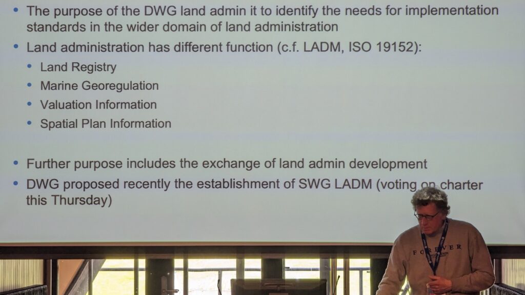
The Land Administration Special Session was dedicated to updating OGC membership on the progress of Land Administration activities amongst members and in ISO/TC 211, where the Land Administration Domain Model (LADM) is managed. A new Land Administration Domain Model Standards Working Group (SWG) is being considered to create Part 6 of LADM: the encoding of Parts 1-5 in one or more formats. OGC Members can access the presentations and a recording here (Session 1) and here (Session 2) in the OGC Portal.
Geospatial Reporting Indicators have been discussed in the OGC Climate Resilience Domain Working Group (DWG) in the context of Land Degradation. However, the means to exchange indicator information reporting the degree of land degradation (or influencing factors) is not standardized in the community. OGC members are therefore proposing a new SWG to develop such standardized reporting indicators, possibly as extended functionality of work in Analysis Ready Data (ARD). OGC Members can access the presentations and a recording on this page in the OGC Portal.
An ad hoc session on Geospatial Data Requirements was held to assess the chartering of a new SWG. The purpose of this proposed SWG is to develop a Standard for describing what geospatial data a project or task needs to collect, store, analyze, and present to achieve the project objectives. OGC Members can access the presentations and a recording on this page in the OGC Portal.
The OGC Europe Forum met on Tuesday with presentations focused on Data Spaces: understanding the European Commission principles of data spaces and how OGC members can engage in the topic. The Forum featured speakers from the International Data Spaces Association (IDSA), ISO/TC211, and the European Commission’s Joint Research Centre (JRC) as well as an open panel discussion. OGC Members can access the presentations and a recording on this page in the OGC Portal.
The Observational Data Special Session was organized to identify the various OGC Working Groups that are building Standards or assessing the collection & use of observational data. The session clarified the commonalities between these WGs so they can be considered in future development of observational data Standards. OGC Members can access the presentations and a recording on this page in the OGC Portal.
Two sessions were held to discuss and prioritize the next steps for OGC activities concerning standardization in the Built Environment. The first of these sessions focused on the future development of the LandInfra suite of Standards: whether priority should be made on new encodings, new Parts, or other tasks. OGC Members can access the presentations and a recording on this page in the OGC Portal.
The second Built Environment session considered the topic of what Urban Digital Twins mean to OGC. Presentations on human engagement as sensors and the place for digital twins in data spaces were followed by a preview of the OGC Urban Digital Twins Discussion Paper and a panel of OGC specialists to discuss where Urban Digital Twins are most important in OGC. OGC Members can access the presentations and a recording on this page in the OGC Portal.
The public GeoBIM Summit emphasized the theme of this meeting: there is a great amount of continuity between the geospatial and Building Information Modeling (BIM) communities and their respective technologies and practices. Numerous rapid presentations highlighted activities using OGC and BIM Standards and use-cases for interoperability. OGC Members can access the presentations and a recording on this page in the OGC Portal. Presentations and recordings will soon be made available to the public on the GeoBIM Summit event page.
The Quantum Computing ad hoc session included open discussion from OGC Members working with or researching the application of quantum computing technology on geospatial issues. Future ad hoc meetings are planned to move towards the development of an OGC Quantum Computing Working Group.
Closing Plenary
The Closing Plenary normally includes two sessions: an open discussion of Important Things suggested by members, followed by motions, votes, and presentations from members to advance the work of the Consortium. However, with the Member Meeting being compressed down to four days (as Friday was a regional holiday) the Important Things discussion was not held. As such, I opened the Closing Plenary with a rapid, 7-minute summary of the entire meeting week, which included Slides and content from a large number of the week’s Working Group sessions, available to OGC Members on this page in the OGC Portal. The Closing Plenary included a record number of motions for votes on new Standards, highlighting the very productive activities of OGC members in recent months.
Thank you
Our 128th Member Meeting was our biggest yet. As always, it’s a pleasure to see hundreds of OGC Members get together to discuss, collaborate, and drive technology and standards development forward. Once again, a sincere thank you to our members for investing their time and energy, as well as their dedication to making OGC the world’s leading and most comprehensive community of location experts.
Be sure to join us at Centre Mont-Royal in Montreal, Canada, June 17-21, 2024, for our 129th Member Meeting. Registration is open now on ogcmeet.org. Sponsorship opportunities remain available – contact OGC for more info.
