Related Content: Blog article
-
Blog article
Public Services on the Map: A Decade of Success
The Netherlands’ Cadastre, Land Registry, and Mapping Agency (Kadaster) maintains the nation’s register of land and property rights, ships, aircraft, and telecom networks. It’s also...
-
Blog article
A recap of the 129th OGC Member Meeting, Montreal, Canada
Themed “Standards enabling collaboration for global challenges,” the meeting focused on discussing, aligning, supporting, and promoting geospatial solutions around climate change, disasters, marine, AI/ML, and...
-
Blog article
Standards Enabling Collaboration For Global Challenges
A preview of the 129th Member Meeting, to be held June 17-21 in Montreal, Canada.
-
Blog article
A recap of the 128th OGC Member Meeting, Delft, The Netherlands
OGC’s 128th Member Meeting, themed ‘GeoBIM for the Built Environment,’ was our biggest ever, with over 300 attendees from industry, government and academia.
-
Blog article
Geo-BIM for the Built Environment
The meeting will include a Geo-BIM Summit, a Built Environment Joint Session, a Land Administration Special Session, a meeting of the OGC Europe Forum, sessions...
-
Blog article
Enterprise Products: A Collaborative Journey with OGC
Enterprise Products collaborated internationally to help develop the PipelineML Standard, supporting the wider industry while optimizing the management of their pipeline network.
-
Blog article
Enhancing capabilities by adopting Standards for emerging technologies
Good, domain-driven Standards-definition is key to a FAIRer technology landscape and eases the integration of emerging technologies.
-
Blog article
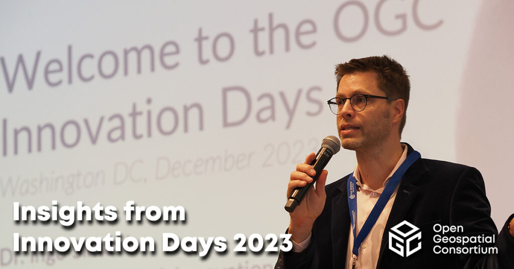
Insights from Innovation Days 2023
At OGC Innovation Days 2023, members of the climate, disaster, and emergency resilience and response communities gathered to explore what OGC-enabled geospatial technologies have made...
-
Blog article
With great sadness, OGC announces the passing of our cherished colleague, Mr. Jeffrey Burnett of Littleton, Mass, on 28 November 2023, from cancer.
-
Blog article
How OGC Contributes to FAIR Geospatial Data
Standards are a key element of the FAIR Principles of Findability, Accessibility, Interoperability, and Reusability. As such, the Open Geospatial Consortium (OGC) has been supporting...
-
Blog article
OGC India Forum 2023: Key Highlights from Hyderabad
The OGC India Forum 2023 brought together geospatial experts to discuss and find opportunities to invest and collaborate on open geospatial standards.
-
Blog article
CLIMOS and a FAIR data-to-information value chain
The “raw data to information” value chain underpinning Climate Resilience Information Systems (CRIS) is only made possible when the FAIR data principles are respected –...
-
Blog article
A recap of the 127th OGC Member Meeting, Singapore
Attendees spent the week discussing the latest geospatial innovations in areas such as GeoAI, Digital Twins, Data Quality, Intelligent Transport, connecting land & sea, and...
-
Blog article
Making The Data Count, Not Just Counting The Data
The UKHO’s Dr. Gerald J Wong explains how using the IGIF-(M)SDI Maturity Roadmap enables governments to better harness geospatial data that supports their nations’ socio-economic...
-
Blog article
European Innovation, Global Impact
OGC's ongoing contributions to European research topics, driven by projects co-funded by the European Commission (EC), cover areas such as data spaces, climate, digital building...
-
Blog article
A Message from Prashant Shukle on Behalf of the OGC Board of Directors
The Board of the OGC has started to develop a transparent, objective, merit-based process for the next Chief Executive Officer of the Open Geospatial Consortium.
-
Blog article
A recap of the 126th OGC Member Meeting, Huntsville, AL, USA
Attendees spent the week discussing the latest geospatial innovations in areas such as Climate, Space, Open Science, Defense & Intelligence, Connected Systems, and more.
-
Blog article
The 2023 OGC Tiling Interfaces Code Sprint – How it went!
On June 12-14, 2023, OGC held its 2023 Tiling Interfaces Code Sprint at OGC Strategic Member NGA’s Moonshot Labs in St. Louis, Missouri. The code...
-
Blog article
OGC SensorThings API for European Green Deal Data Spaces
This post outlines the SensorThings API Standard together with initial results from two Horizon Europe projects on Green Deal Data Spaces: All Data for Green...
-
Blog article
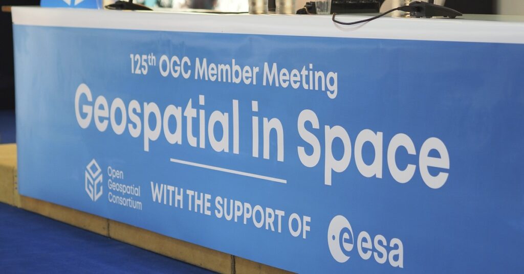
A recap of the 125th OGC Member Meeting, Frascati, Italy
With a theme of "Geospatial in Space" OGC's 125th Member Meeting saw 200+ experts converge on th ESA Centre for Earth Observation (ESRIN) in Frascati,...
-
Blog article
OGC SensorThings API and OGC API – Features: Good Practice for European Spatial Information
OGC API - Features and OGC SensorThings API Standards are recognised as INSPIRE good practice for the provision of INSPIRE data.
-
Blog article
The new v5.5 of TEAM Engine on the OGC Validator
TEAM Engine is the open source software used for validating compliance to OGC Standards. Version 5.5 of TEAM Engine brings some exciting improvements.
-
Blog article
Ordnance Survey GB and Next Generation OGC API Standards
Pairing Ordnance Survey's new, easier-to-use data with OGC's new easy-to-use OGC APIs, OS has launched the OS NGD API – Features product, which provides access...
-
Blog article
Principled and Powerful: Geospatial data for ESG reporting at Location Powers 2022
There was a principled and powerful representation in attendance at OGC’s Location Powers event in London last November. Ordnance Survey hosted the event at the Geovation Hub with 23 speakers over...
-
Blog article
The mechanisms through which maps are delivered across the Internet have evolved significantly over the past two decades. Advancement of such mechanisms has been driven...
-
Blog article
A recap of the 124th OGC Member Meeting, Singapore
From October 3-7 ‘22 (and a little bit beforehand), more than 100 experts from across industry, government, and academia converged on the Lifelong Learning Institute...
-
Blog article
Has the Edge Dissolved Itself Already? Or is the Edge the new Cloud?
With the growing number of systems and platforms, the number of platform-specific formats and interfaces increases – and interoperability suffers.
-
Blog article
Reflections on the 2022 Joint OGC & ISO Code Sprint – The Metadata Code Sprint
Over the past two decades, standards such as ISO 19115:2003 and the OGC Catalog Services for the Web (CSW) have been integrated into several Spatial...
-
Blog article
Bringing the Heat in Madrid: a recap of our 123rd Member Meeting
OGC’s 123rd Member Meeting – our long awaited return to in-person(!) – was held in Madrid, Spain, from June 13-16, 2022. And even with the heatwave...
-
Blog article
The Latest on Cloud-Native Geospatial Standards in OGC
OGC Chief Standards Officer, Scott Simmons, digs into the elements of the cloud ecosystem that OGC is addressing: interfaces, applications, encodings, and operations.
-
Blog article
The 2022 Joint OGC OSGeo ASF Code Sprint – How it went!
Over the past decade, geospatial technologies and data have become more widespread in use and application. A key catalyst for the increased uptake of geospatial...
-
Blog article
With momentum and interest once again building around the ‘metaverse’, OGC hosted a ‘Metaverse Ad-Hoc Session’ at its virtual 121st Member Meeting in December 2021....
-
Blog article
Building a cloud-native future at OGC
March 2022 marked my 3-year anniversary at OGC! As I look back at those 3 years – 2 of which occurred during the tumultuous COVID-19...
-
Blog article
A Strong Foundation for GeoAI Innovation
New AI capabilities have reoriented and transformed GIS and Remote Sensing, providing new solutions and greatly increasing efficiency.
-
Blog article
Lowering the barrier of entry for OGC Web APIs
A version of this article originally appeared in the May/June 2021 issue of GeoConnexion Magazine under the title ‘Lowering The Barrier To Entry.’ For the last few...
-
Blog article
7 Key Takeaways from the OGC Climate Change Special Session
Article contributed by Steve Liang, SensorUp “If you can’t measure it, you can’t manage it.” The quote is originally from management consultant Peter Drucker and...
-
Blog article
Article Contributed by Chris Holmes, OGC Visiting Fellow – About six months ago I started as the first ‘Visiting Fellow’ of the Open Geospatial Consortium. It’s been...
-
Blog article Press release
How it Went! The November 2021 Geospatial API Virtual Code Sprint
From November 15-17, 2021, OGC and ISO/TC 211 jointly hosted the November 2021 Geospatial API Virtual Code Sprint. The code sprint focused on the refinement of...
-
Blog article
Towards a Cloud-Native Geospatial standards baseline
Article Contributed by Chris Holmes, OGC Visiting Fellow – In my previous post I laid out the vision for Cloud-Native Geospatial, but with this post, I...
-
Blog article
Hexagon on the value of collaboration, Standards, and OGC Membership
Hexagon’s long-time support of OGC and our Standards, including our family of OGC APIs, has enabled the Company to learn from, collaborate with, and support the...
-
Blog article
INSPIRE and OGC APIs – Modernizing INSPIRE
Within the broader context of the European Strategy for Data, the Joint Research Centre (the European Commission’s science and knowledge service) is collaborating with the EU Member States...
-
Blog article
Esri’s ArcGIS enables thousands of datasets, maps, and apps for location
Article Contributed by Adam Martin, ESRI Open standards aren’t just about efficiency. They allow organizations across the globe to share information effectively and securely, and...
-
Blog article
Paving the way forward for Building Energy Mapping and Analytics
This Article was Contributed by Eddie Oldfield, Senior Lead, Projects & Advisory Services, QUEST; Jessica Webster, Energy Planning Analyst, Natural Resources Canada; and Ryan Ahola,...
-
Blog article
A User-centric Approach to Data Cubes
A recent OGC workshop led to the development of a new definition of data cube and underscored the need for a user-centric approach.
-
Blog article
This article is contributed by Mark Reichardt – At the Eleventh Session of the United Nations Global Geospatial Information Management (UN-GGIM) Committee of Experts, member...
-
Blog article
One of Canada's oldest government institutions, MSC, is also one to keep up with the times by using the latest technologies in its quest to...
-
Blog article
Reflecting on the May 2021 OGC API Code Sprint
APIs have proven to be a popular and very effective enabler of rapid software development. This is more so in web mapping, where a combination...
-
Blog article
Evolving Geospatial Technologies Through OGC’s Testbed-17
Decades in the Making: The Challenges of Evolving Technologies and Standards When it comes to evolving a technology or standard over multiple decades, the struggle...
-
Blog article
OGC Startups: Disrupting, Growing, Evolving Location
Join OGC and our thriving startup community today and learn why it is such a quickly growing consortium of industry leaders, influencers, and more. Over the course...
-
Blog article
The US Geospatial Data Act – Evolving Beyond Committees, Processes, and Tools
Cowritten by co-written by Molly Schar, NSGIC Executive Director, and Nadine Alahmeh, OGC CEO – It’s no secret, geospatial is mainstream, and it is everywhere. As...
-
Blog article
Using OGC standards, the Intel Geospatial platform is providing simple access to a wide range of high-quality 2D and 3D geospatial data and analytic applications...
-
Blog article
Innovation at OGC: Data-driven Decision Making
Data-driven decision making is fundamental to all aspects of society, In almost all cases, location data is involved. For decades, OGC has driven toward open...
-
Blog article
Evolving Spatial Data Infrastructure
Spatial Data is distributed across users, tools, and regions for a variety of purposes via Spatial Data Infrastructure (SDI), but there are additional economic and...
-
Blog article
Producing and providing reliable information for climate services requires huge volumes of data to come together and process from different scientific eco-systems – requiring standards...
-
Blog article
Five Things Location Tech Can Do Before the Next Pandemic
Article contributed by Jessie Abbate, PhD, Infectious Disease Ecologist, Epidemiologist, and Geospatial Data Scientist at Geomatys – During its March 2021 members meeting, the Health Domain...
-
Blog article
The 2021 Joint OGC – OSGeo – ASF Code Sprint – How it went!
From February 17-19, 2021, the Open Geospatial Consortium (OGC), Open Source Geospatial Foundation (OSGeo), and the Apache Software Foundation (ASF) hosted a joint virtual code...
-
Blog article
The last three years have been unprecedented when it comes to disasters. In 2019 alone there was billions of dollars’ worth of damage, and thousands...
-
Blog article
Four Location-Focused Themes at the 118th OGC Member Meeting
OGC’s Member Meeting is the center of all things for location information. Happening for almost three decades, the meetings focus on everything from evolving core standards...
-
Blog article
Urban Digital Twins – Planning the Cities of Tomorrow
Urban digital twins are not a “solved problem.” Along with increased investment in research and development, the vision demands agreed-upon methodologies and standards, new commitments...
-
Blog article
Over three years ago, a small group of OGC members working on the next version of the venerable Web Feature Service (WFS) standard started the...
-
Blog article
Building an Interoperable Routing Engine (Part 2)
Article Contributed by Ignacio “Nacho” Correas, Chief Technology Innovation Officer at Skymantics – There are two trade-offs that need to be carefully balanced: accuracy vs....
-
Blog article
We Remember with fondness the incredible life and contributions of Lance McKee
The OGC family has lost a cherished friend and impassioned supporter of the use of location information and open standards for good. We recently learned...

