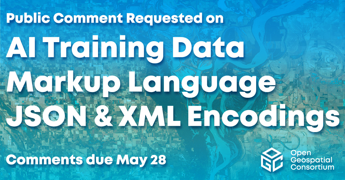
OGC Newsletter - January 2001
CONTENTS


Back issues of OGC News are available.
![]() |
PRESIDENTS MESSAGE
The Open GIS Consortium, like the world of technology around us, is in constant motion: new initiatives pop up, specifications are developed and published, new members join Those of us at the center keep conscious or unconscious tabs on these changes. Beginning today we are making a commitment to sharing that information with the geospatial community through the OGC News. Our goal is a no-nonsense monthly newsletter for our members, our members clients, our potential members and anyone who wants to know what is going on at OGC. In addition to e-mail distribution, the OGC News will be archived on our website. We hope you find it useful and welcome your comments.
David Schell, President, Open GIS Consortium
![]() |
THE BIG PICTURE: WHATS GOING ON?
If you dig down deep, the single goal of the OGC is the development of interface specifications to enable interoperability. These specifications provide the details of how software packages can work together in processing geographic (or spatial) information and communicating with one another. Everything OGC does is in some way aimed at developing and sharing this information. Armed with OGC specifications, software developers can build software products that work together irrespective of brands, computing systems, and networks.
-The Specification Program
In the "early years" of the mid 90s the OGC developed a consensus process to help members work together to build and approve specifications. This very formal process brings concept to reality beginning with a Special Interest Group (SIG), which defines the needs and potential benefits of a new specification. With a clear definition, a Working Group (WG) is created to write a public Request for Proposals (RFP) for an "implementation specification." Vendors or teams of vendors submit proposed OpenGIS Implementation Specifications, which are refined and in time, approved. This process was used to develop some of the first specifications including the Simple Features and Coordinate Transformations (projections) specifications.
-The Interoperability Program
The specifications that came from that work created a strong infrastructure for what was to come: the Interoperability Program (IP). These efforts turn the specification program on its head by working almost backwards. With a particular interoperability problem set down by sponsors, vendors modify existing software to come to a solution. These hands-on engineering environments may yield candidate specifications that move into the Specification Program for approval.
The OGC has to date used two formats for the IP: testbeds, where the emphasis in on research and development, and pilots, where existing and candidate specifications are put to the test using real world scenarios and data. The former are a place to experiment, the latter, a place to kick the tires. The IP has thus far provided a revolutionary way to jumpstart or move the development of specifications along. In the Web Mapping Testbeds and Web Mapping Pilots willing sponsors and participants were able to satisfy the needs of industry, government and education to bring specifications to light in a matter of months, not years. Competing companies saw the benefit of working hand in hand and "coopetition" became a reality. We are very proud to say that these methods have been refined and now form a proven way to get our work done at a rate that can keep up with technology change.
![]() |
AVAILABLE SPECIFICATIONS
One measure of our progress is the number of specifications that are currently available.
To date seven specifications have been approved by the membership and are available to any interested parties:
-OpenGIS® Simple Features Specification for (1) OLE/COM, (2) CORBA, (3) SQL three different ways for a software package to communicate about basic geospatial feature definitions, selection (or "access"), and manipulation.
-OpenGIS Catalog Interface Implementation Specification a way for software packages to browse catalog servers, clearinghouses, and spatial information databases
-OpenGIS Grid Coverages Implementation Specification a way for software packages to work together to define, modify, and share raster imagery
-OpenGIS Coordinate Transformation Services Implementation Specification a way for software packages to host information in one spatial reference system, while serving information in another as requested
-OpenGIS Web Map Server Interfaces Implementation Specification a way for Web mapping servers to speak to one another, to query, access, process, and dynamically combine different types of spatial information over the web
Details of the specifications
http://www.opengeospatial.org/specs/specs.htm
![]() |
CONFORMANT PRODUCTS
Once the specifications are agreed upon and made public, they can be used in developing commercial products. Here are some of the implementations available today:
Four companies have implemented and tested their products for conformance to the Simple Features Specifications: Oracle, ESRI, Computer Aided Development Corporation (Cadcorp) Ltd, and Hitachi.
The following individuals and companies implement the Simple Features Specification but the products have not yet tested conformant: AED Graphics AG, Frank Warmerdam, Cadcorp and GeoTask AG.
Several companies and organizations have implemented the Web Mapping Server Specification, but the products have not yet tested conformant. These include: CubeWerx, Inc., Polexis, Inc., SICAD Geomatics, ESRI, U.S. Federal Geographic Data Committee Secretariat, Computer Aided Development Corporation (Cadcorp) Ltd, Intergraph, GE Smallworld, Social Change Online Pty Ltd, Laser-Scan, IONIC Software, Compusult Ltd, MIT, and Geodan. We are very pleased at the extensive interest in this specification and anticipate many more additions in the coming months.
If you would like to add a product with an implementation of the an OGC specification to our register, please contact Greg Buehler, gbuehler [at] opengeospatial.org.
By submitting its products to OGC conformance testing procedures, vendors better assure that their products meet interface requirements defined in OGC specifications.
Conformant Product Listing
http://www.opengeospatial.org/techno/conformance.htm#products
![]() |
CONTRACTS AND IMPLEMENTATIONS
ESRIs Geography Network now implements the Web Mapping Server specification. The Geography Network is now capable of connecting with and displaying spatial information from OGC WMS 1.0 conformant web mapping servers that register and publish to the Network.
ESRI
http://www.esri.com
The Geography Network
http://www.geographynetwork.com
Cubewerx announced that National Aeronautics and Space Administration Ames Research Center (NASA) has selected their spatial warehouse technology server, which implements the Web Mapping Server specification. The technology will be used in developing the collaborative California Land Science Information Partnership with the International Digital Earth Initiative. The National Imagery and Mapping Agency (NIMA) also purchased Cubewerx technology.
Cubewerx
http://ww.cubewerx.com
The European Commissions Joint Research Center has implemented a Web Mapping Server compliant site. Here you can browse data from several servers via a Java applet. OGC interfaces are employed to access, fuse and display data from all over the globe. A new application to track global fires is in development.
Joint Research Center Demo
http://opengis.jrc.it
Joint Research Fire Demo
http://opengis.jrc.it/fires/
The University of Minnesota has developed a map server that supports some key Web Mapping Server functions. This basic map server capability and an OGC based applet client used to draw the map are in use on the Search page of the National Spatial Data Infrastructure Spatial Data Clearinghouse web site
National Spatial Data Infrastructure Spatial Data Clearing House Search
www.fgdc.gov/clearinghouse/clearinghouse.html (choose Search
for Geospatial Data).
![]() |
INTEROPERABILITY PROGRAM
With two phases of the Web Mapping Testbed now complete (I in 1999 and II in 2000), as well as a pilot, the interoperability program moves into 2001. OGC members have expressed interest in additional test beds and pilots to address the following topics: military operations, disaster management, civil engineering, land / parcel management, location based services, and additional web services capabilities (3D and 4D, decision support, and interaction between different information communities). Many of these initiatives are slated to commence this year as part of IP 2001. OGC expects to initiate several test beds and pilots in Europe during 2001.
-Web Mapping Testbed 1 was completed in August 1999 and resulted in the Web Mapping Server Specification (WMS) and OpenGIS GML Recommendation Paper. The Upper Susquehanna - Lackawanna Watershed Pilot Project implemented WMS.
http://opengis.opengeospatial.org/wmt/
http://www.webmapping.org/
-WMT II concluded in the fall with an in-house demonstration for its principle sponsors. Details on the goals of this testbed are available at the OGC site and at International Interfaces site.
http://www.opengeospatial.org/datasheets/Dat04WMT2.000127.htm
http://www.intl-interfaces.com/wmt2/index.html.
-OGC announced an OpenLS (location services) initiative in October. The goal of the first activity under the OpenLS Initiative (the OpenLS Testbed) is to develop candidate interface specifications in support of interoperable location services to be made available through mobile terminals and to develop multi-vendor, specification-based mobile demonstrations of these interfaces in action.
http://www.openls.org
-OGC announced the Web Mapping Testbed Military Pilot Project (WMT MPP) on December 4, 2000. The WMT MPP will focus on discovery, access, management, and exploitation of spatial information across networks, vendors, and in mainstream Information Technologies critical to planning and operations.
http://ip.opengeospatial.org/mpp/
![]() |
FGDC CAP FUNDING AVAILABLE
The Federal Geographic Data Committee (FGDC) will begin accepting proposals for the 2001 National Spatial Data Infrastructure Cooperative Agreements Program (CAP). The CAP program provides seed funds to the GIS community to build the National Spatial Data Infrastructure (NSDI) for the effective discovery, sharing, managing, and utilization of digital geographic data.
The CAP will fund projects in four areas including "Clearinghouse Integration with Web Mapping Projects." The CAP funds projects to extend clearinghouse nodes with OpenGIS Web Map Server Specification conformant service capabilities for integrated data viewing.
For more information on the CAP program application materials and instructions, and NSDI background information visit: http://www.fgdc.gov/funding/cap2001.html.
The open period for submission of proposals closes March 15, 2001.
![]() |
MEMBER CORNER
-Autodesk
Autodesk has been a Principle Member and an active participant of the Open GIS Consortium for many years because of the value that we derive from it. We are in the business of solving real-world problems for our clients and helping them to be more productive and competitive. The integration of disparate geographical data types and formats from different sources and applications from around the world is key to making that happen. Collaborating with colleagues from various industry, academic and governmental agencies in defining interoperability specifications has saved us time and effort in developing new software functionality.
Scott L. Bartlett
Director of Strategic Marketing
GIS Solutions Division
Autodesk, Inc.
If youd like to share your thoughts on what the Open GIS Consortium means to your organization, please contact the editor, adena [at] opengeospatial.org.
![]() |
NEW MEMBERS
The Open GIS Consortium welcomes our members whove joined us since October 2000.
Asia Air Survey Co., Ltd.
Associate-Commercial
http://www.ajiko.co.jp
CIESIN at Columbia University
Associate-University
http://www.ciesin.org/
Fraunhofer-Institut
Associate-Commercial
http://www.do.isst.fhg.de
GMD - German National Research Center for Information
Technology
Associate-Commercial
http://ais.gmd.de
Harvard University
Associate-University
http://www.eps.harvard.edu
Inform Worldwide, Inc.
Associate-Commercial
http://www.informworldwide.com
interactive instruments GmbH
Associate-Commercial
http://www.interactive-instruments.de
National Geography Institute Ministry of Construction
& Transportation
Technical Member
http://www.moct.go.kr
NEC Aerospace Systems, Ltd.
Associate-Commercial
http://www.nas.co.jp
The Open Group
Technical Member
http://www.opengroup.org
Shell International Exploration and Production Inc.
Principal Member
http://www.shell.com/eandp-en/
SpotOn Mobile
Technical Member
http://www.spotonmobile.com/
University of Nottingham
Associate-University
http://www.nottingham.ac.uk
University of Pittsburgh
Associate-University
http://www2.sis.pitt.edu
VTT Information Technology
Associate-University
http://www.nottingham.ac.uk
![]() |
OGC IN THE NEWS
Ron Lake looks at the "New" Web Mapping Technologies including GML and the OGC specifications.
The Hitchhiker's Guide to New Web Mapping Technologies
- Ron Lake, GeoWorld, Jan 2001
http://www.geoplace.com/gw/2001/0101/0101tch.asp
Several OGC member companies spoke about their plans regarding interoperability and the importance of OGC specifications in the year-end Industry Outlook issue of GeoWorld. These included Peter Batty of GE Smallworld, Preetha Pulusani of Intergraph, and David Schell of OGC.
Internet Computing Targets a New World of Spatial
Applications - GeoWorld, Dec 2000
http://www.geoplace.com/gw/2000/1200/1200io.asp
Sami Lais took a look at GML and the importance of location. As the author put it: Everybody's got to be somewhere. And the emerging Geography Markup Language (GML) provides a standard, text-based way to describe that somewhere.
Where Is It Exactly? - Sami Lais, Computerworld, Nov 20, 2000
http://www.computerworld.com/cwi/story/0,1199,NAV47_STO54137,00.html
Adena Schutzberg looks at XML, what it is and its place in GIS.
XML, GIS and You - Adena Schutzberg, GISVision, Sept 2000
http://www.giscafe.com/GISVision/Review/XML.html
Ron Lake, author of GML, from Galdos Systems, presents a two part series on GML.
Introduction to Geography Markup Language (GML) Ron Lake, at jlocationservices.com http://www.jlocationservices.com/company/galdos/articles/introduction_to_gml.htm
Making Maps for the Web With Geography Markup Language Ron Lake, at jlocationservices.com http://www.jlocationservices.com/company/galdos/articles/GMLMapMaking_gml.htm
Bill McGarigle explores the role of OpenGIS in government.
Going Global - OpenGIS and government, Bill McGarigle, Government Technology, July 2000
http://www.govtech.net/publications/gt/2000/july/GeoInfo/GeoInfo.phtml
![]() |
EVENTS
February 5-9, 2001 - Atlanta, Georgia, USA OGC Technical and Management Committee Meetings, hosted by Byers Engineering Company and Telcordia Technologies (An SAIC Company)
February 19-22, 2001 - Vancouver, BC, Canada GIS 2001 Conference and Trade Show, exhibitor
March 4-7, 2001 - San Diego, CA, USA GITA Annual Conference XXIV, exhibitor
April 2-6, 2001 - Liege, Belgium OGC Technical and Management Committee Meetings
June 4-8, 2001 - Nashua, NH, USA OGC Technical and Management Committee Meetings
October 1-5, 2001 - TBD OGC Technical and Management Committee Meetings
December 3-7, 2001 - TBD OGC Technical and Management Committee Meetings
OGC will have an exhibit booth at both GIS 2001 and GITA. OGC members who are exhibiting and are interested in assisting or working with us should contact Greg Buehler, gbuehler [at] opengeospatial.org.
OGC Events Calendar
http://www.opengeospatial.org/events/index.htm
![]() |
CONTACT
Please send comments and suggestions to:
Adena Schutzberg
Editor, OGC News
adena [at] opengeospatial.org
![]() |
SUBSCRIBE/UNSUBSCRIBE
Visit our public subscription page.
![]() |
Copyright 2001 by the Open Geospatial Consortium, Inc.