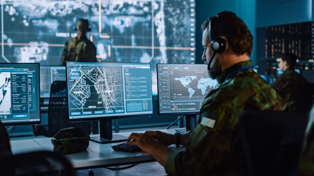
There is a long history of innovative technologies being developed across the D&I domain that go beyond operations and into our everyday lives. Examples range from superglue and microwaves to canned food and digital cameras- and perhaps above all, the internet.
The innovation seen in the D&I domain applies just as much to geospatial (aka location- based) technologies. Paper maps have long since evolved to interactive, queryable digital maps and more recently immersive 3D simulations and data visualizations-thanks in large part to a push from the D&I community.
Almost every IT application in the D&I domain- planning, intelligence, logistics, etc.- involves geospatial information. Almost every asset and every threat, human and material, has an associated location. D&I systems are diverse and networked, so if D&I personnel are to effectively develop and share awareness of assets and threats, geospatial information and geospatial processing instructions need to be easily and seamlessly accessed and moved freely between many different information systems. For this reason, D&I organizations and contractors have played an important role in developing OGC standards. Similarly, OGC standards, such as GeoPackage, CDB, Moving Features, 3D Tiles, I3S, and the family of OGC APIs, and complementary technologies, such as Advanced Sensor Integration, GeoData Cubes, Artificial Intelligence & Machine Learning (AI/ML), Earth Observation (EO),Virtual, Augmented, and Extended Reality (AR/VR/XR), and more, play an important role in D&I worldwide.
To learn more about Defense and Intelligence


