Related Content:
-
Press release
OGC Honors Geospatial Leaders and Dedicated Contributors at OGC@30 Anniversary Event
The high-profile awards recognize outstanding individuals and organizations for their exceptional contributions to the community.
-
Press release
OGC Membership approves OGC API – Moving Features – Part 1: Core as an official OGC Standard
OGC API – Moving Features provides a standard way to manage and interact with geospatial data representing phenomena and objects that move and change over...
-
Press release
OGC API – EDR – Part 2 defines a web interface for efficient event-driven data updates, employing a Publish-Subscribe Workflow for real-time notifications.
-
Press release
Building a Stronger Geospatial Community: Overture Maps Foundation Joins OGC
Uniting expertise to create open, interoperable geospatial solutions.
-
Press release
OGC Membership approves OGC API – Maps – Part 1: Core as an official OGC Standard
OGC API – Maps supports the ability to generate maps by combining and rendering data from one or more servers into a single view, ensuring...
-
Press release
OGC Membership approves OGC API – Features – Part 3: Filtering as an official OGC Standard
OGC API - Features defines a web interface for creating, modifying, and querying feature data. Part 3 supports advanced filtering functionality using the Common Query...
-
Press release
Bentley’s increased investment in OGC, coupled with its acquisition of Cesium, signals their commitment to a future built around open standards, data, and infrastructure.
-
Press release
OGC Membership approves Common Query Language (CQL2) as an official OGC Standard
CQL2 is a filter grammar supporting both text and JSON encodings that can be easily integrated into software applications.
-
Press release
OGC Approves Model for Underground Data Definition and Integration as Official Standard
MUDDI serves as a framework to make different datasets for underground objects interoperable, exchangeable, and more easily manageable.
-
Blog article
Public Services on the Map: A Decade of Success
The Netherlands’ Cadastre, Land Registry, and Mapping Agency (Kadaster) maintains the nation’s register of land and property rights, ships, aircraft, and telecom networks. It’s also...
-
Press release
OGC announces Christy Monaco as new Chief Operating Officer
As OGC’s COO, Christy will use her experience with federal agencies, partnership-building, event management, and member success to help grow and shape the Consortium.
-
Blog article
A recap of the 129th OGC Member Meeting, Montreal, Canada
Themed “Standards enabling collaboration for global challenges,” the meeting focused on discussing, aligning, supporting, and promoting geospatial solutions around climate change, disasters, marine, AI/ML, and...
-
Press release
Andreas Matheus receives OGC’s 2024 Gardels Award
Congratulations to Andreas Matheus, awarded the 2024 Gardels Award for his work to ensure best practices in security and API design in OGC.
-
Blog article
Standards Enabling Collaboration For Global Challenges
A preview of the 129th Member Meeting, to be held June 17-21 in Montreal, Canada.
-
Press release
Registrations Open for OGC’s July 2024 Open Standards Code Sprint
While all OGC Standards are in scope, the Sprint will feature three special tracks on Data Quality & Artificial Intelligence, Validators, and Map Markup Language...
-
Press release
OGC announces Peter Rabley as new CEO
Peter Rabley will build on OGC’s 30 year history while responding to the pressing need for the consortium to be agile at a time of...
-
Blog article
A recap of the 128th OGC Member Meeting, Delft, The Netherlands
OGC’s 128th Member Meeting, themed ‘GeoBIM for the Built Environment,’ was our biggest ever, with over 300 attendees from industry, government and academia.
-
Press release
Ecere Corporation receives OGC Community Impact Award
The award recognizes OGC members who, through exceptional leadership, volunteerism, collaboration, and investment, have positively impacted the geospatial community.
-
Press release
Registration opens for OGC Innovation Days Europe 2024
OGC Innovation Days Europe event seeks to connect technology with governance and policy.
-
Blog article
Geo-BIM for the Built Environment
The meeting will include a Geo-BIM Summit, a Built Environment Joint Session, a Land Administration Special Session, a meeting of the OGC Europe Forum, sessions...
-
Blog article
Enterprise Products: A Collaborative Journey with OGC
Enterprise Products collaborated internationally to help develop the PipelineML Standard, supporting the wider industry while optimizing the management of their pipeline network.
-
Blog article
Enhancing capabilities by adopting Standards for emerging technologies
Good, domain-driven Standards-definition is key to a FAIRer technology landscape and eases the integration of emerging technologies.
-
Press release
Developers invited to the February 2024 OGC API – Coverages Virtual Code Sprint
Sprint will refine OGC API – Coverages: a web API Standard for efficient retrieval of spatiotemporal data for a given time, area, and resolution.
-
Press release
OGC forms new GeoZarr Standards Working Group to establish a Zarr encoding for geospatial data
SWG to develop a GeoZarr Standard that establishes flexible and inclusive conventions for the cloud-native Zarr format that meet the diverse requirements of the geospatial...
-
Blog article
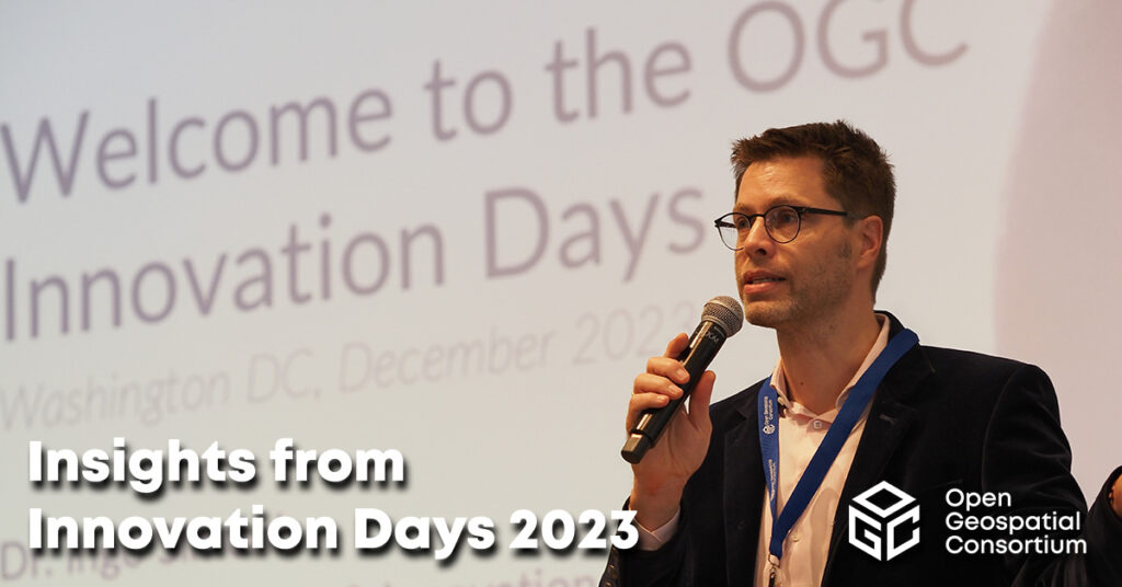
Insights from Innovation Days 2023
At OGC Innovation Days 2023, members of the climate, disaster, and emergency resilience and response communities gathered to explore what OGC-enabled geospatial technologies have made...
-
Press release
Announcing the 2024 Joint OGC ASF OSGeo Code Sprint
4th annual joint sprint will advance support of open geospatial Standards within the developer community – while advancing the Standards themselves.
-
Blog article
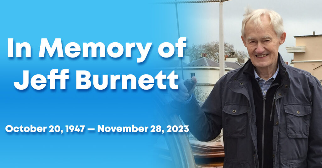
With great sadness, OGC announces the passing of our cherished colleague, Mr. Jeffrey Burnett of Littleton, Mass, on 28 November 2023, from cancer.
-
Blog article
How OGC Contributes to FAIR Geospatial Data
Standards are a key element of the FAIR Principles of Findability, Accessibility, Interoperability, and Reusability. As such, the Open Geospatial Consortium (OGC) has been supporting...
-
Press release
OGC Compliance Certification now available for the GeoPose 1.0 Data Exchange Standard
Products that implement GeoPose v1.0 can now be certified as OGC Compliant, simplifying integration of the product by agencies, industry, and academia.
-
Blog article
OGC India Forum 2023: Key Highlights from Hyderabad
The OGC India Forum 2023 brought together geospatial experts to discuss and find opportunities to invest and collaborate on open geospatial standards.
-
Press release
OGC and Joint Research Centre renew Collaboration Agreement to enhance Geospatial Standards
The two organizations continue working together to develop, apply, maintain, and promote geospatial standards and best practices that support the implementation of EU policies.
-
Press release
Climate, Disaster, and Emergency Communities invited to Innovation Days 2023
Event brings community members together to show what recent OGC work has made possible, and guide OGC on what challenges should be tackled next.
-
Press release
OGC Compliance Certification Available for v2.0 of the Web Processing Service (WPS) Standard
Products that implement WPS v2.0 can now be certified as OGC Compliant, simplifying integration of the product by agencies, industry, and academia.
-
Blog article
CLIMOS and a FAIR data-to-information value chain
The “raw data to information” value chain underpinning Climate Resilience Information Systems (CRIS) is only made possible when the FAIR data principles are respected –...
-
Call for participation (CFP)
OGC Calls for Participation in its Open Science Persistent Demonstrator Pilot
The OSPD Pilot will grow the open science community and make scientific results available to the people who need them most, and in a format...
-
Press release
Webinar: Location Innovation Academy for NMCA
Webinar will serve as an introduction to the Academy for National Mapping and Cadastral Agencies (NMCA), and will focus on the integration of climate and...
-
Press release
Cloud Optimized GeoTIFF (COG) published as official OGC Standard
COG allows for the efficient streaming and partial downloading of web-based imagery and grid coverage data for fast visualization and processing.
-
Blog article
A recap of the 127th OGC Member Meeting, Singapore
Attendees spent the week discussing the latest geospatial innovations in areas such as GeoAI, Digital Twins, Data Quality, Intelligent Transport, connecting land & sea, and...
-
Press release
OGC and the International Data Spaces Association sign Memorandum of Understanding
OGC & IDSA will work together to contribute to the creation and development of Standards for data spaces that support a flourishing data economy.
-
Press release
CoverageJSON v1.0 Adopted as OGC Community Standard
CoverageJSON enables the development of interactive visualizations that display and manipulate spatio-temporal data within a web browser.
-
Press release
Wuhan University receives OGC Community Impact Award
The award recognizes OGC members who, through exceptional leadership, volunteerism, collaboration, and investment, have positively impacted the geospatial community.
-
Press release
OGC TrainingDML-AI Standard Part 1 defines the Conceptual Model for standardizing any training data used to train, validate, and test Machine Learning models that involve...
-
Blog article
Making The Data Count, Not Just Counting The Data
The UKHO’s Dr. Gerald J Wong explains how using the IGIF-(M)SDI Maturity Roadmap enables governments to better harness geospatial data that supports their nations’ socio-economic...
-
Press release
Registrations Open for OGC’s October 2023 Open Standards Code Sprint
London-based hybrid event will support the development and improvement of Open Standards and supporting applications.
-
Press release
OGC forms new GeoParquet Standards Working Group
New OGC SWG will work to advance the GeoParquet encoding format for adoption as an OGC Encoding Standard for cloud-native vector data.
-
Press release
OGC, UKHO, and partners release the IGIF-(M)SDI Maturity Roadmap
New Roadmap seeks to advance and simplify efforts in Marine SDI and ensure their alignment with the UN-IGIF principles.
-
Blog article
European Innovation, Global Impact
OGC's ongoing contributions to European research topics, driven by projects co-funded by the European Commission (EC), cover areas such as data spaces, climate, digital building...
-
Press release
OGC API – Environmental Data Retrieval v1.1 Adopted as Official Standard
The OGC API – EDR Standard makes it easy to access just the required subset from a wide range of data through a uniform, well-defined,...
-
Press release
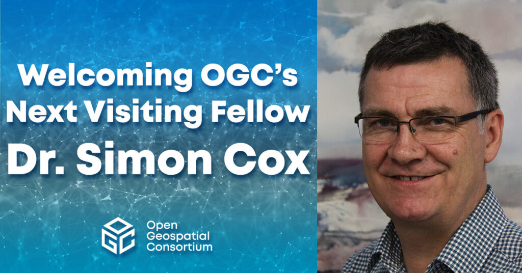
OGC Welcomes Dr. Simon Cox as next Visiting Fellow
Simon will use his expertise and experience to help OGC take the new “OGC Rainbow” interoperability environment to the next level.
-
Press release
Developers invited to the 2023 OGC API – Processes Virtual Code Sprint
Next OGC Code Sprint, held September 18-20, will refine the OGC API - Processes Standard and associated extensions.
-
Press release
OGC adopts CityGML 3.0 Part 2: GML Encoding as an official OGC Standard
New encoding for CityGML version 3.0 can be used to store and exchange 3D city models in the GML format as data sets or via...
-
Press release
OGC Compliance Certification Available for v1.0 of the OGC API – Processes Standard
OGC compliance provides confidence that a product will seamlessly integrate with other compliant solutions, regardless of the vendor that created them.
-
Blog article
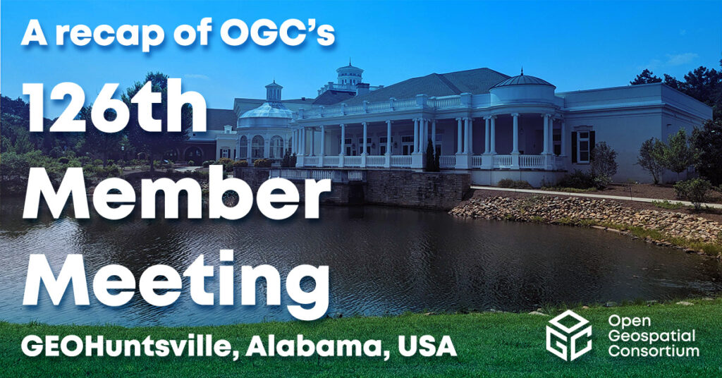
A recap of the 126th OGC Member Meeting, Huntsville, AL, USA
Attendees spent the week discussing the latest geospatial innovations in areas such as Climate, Space, Open Science, Defense & Intelligence, Connected Systems, and more.
-
Blog article
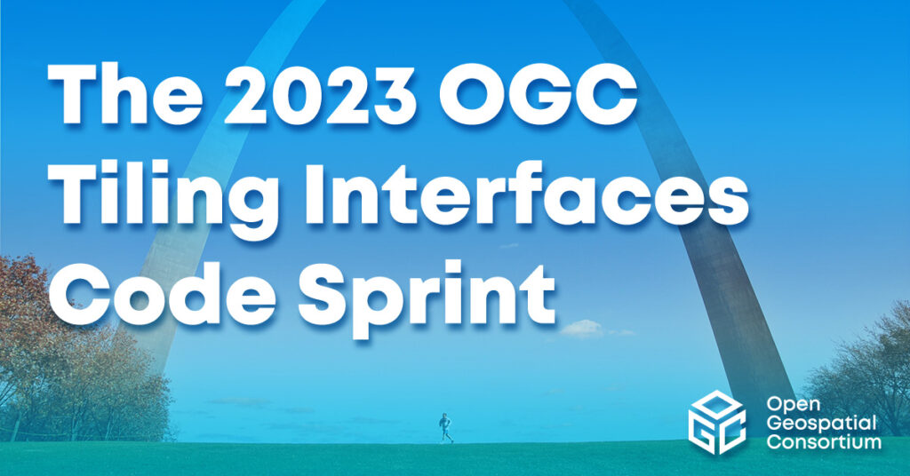
The 2023 OGC Tiling Interfaces Code Sprint – How it went!
On June 12-14, 2023, OGC held its 2023 Tiling Interfaces Code Sprint at OGC Strategic Member NGA’s Moonshot Labs in St. Louis, Missouri. The code...
-
Press release
OGC proud to create European Innovation Events and Open Knowledge
OGC to showcase many of its recent innovations, including advancements in Semantic Interoperability and the Location Innovation Academy, at upcoming European events.
-
Press release
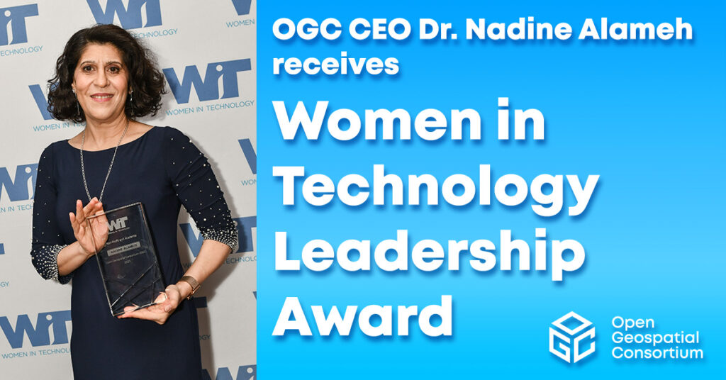
OGC CEO Dr. Nadine Alameh receives 24th Annual Women in Technology Leadership Award
OGC CEO awarded for her “outstanding global leadership of the Open Geospatial Consortium and its 500 members through a period of profound change.”
-
Press release
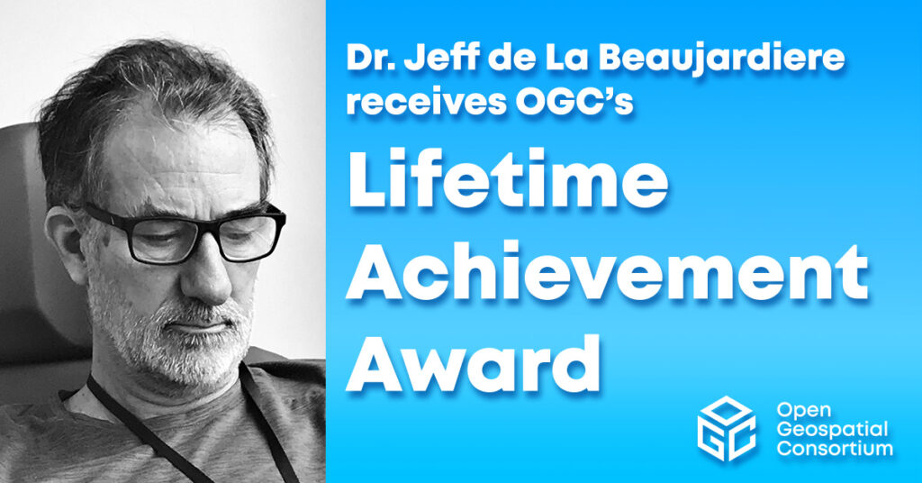
Dr. Jeff de La Beaujardiere receives OGC Lifetime Achievement Award
Jeff’s support of open standards and OGC’s FAIR mission has improved access to Earth science information for countless users and decision-makers globally.
-
Press release
Natural Resources Canada receives inaugural OGC Community Impact Award
New award recognizes OGC members who, through exceptional leadership, volunteerism, collaboration, and investment, have positively impacted the geospatial community.
-
Press release
OGC Forms new GeoDCAT Standards Working Group
The GeoDCAT SWG will separate a general geospatial profile of DCAT, called GeoDCAT, out from the Europe-specific Application Profile, GeoDCAT-AP.
-
Press release
OGC Forms new GeoDataCube Standards Working Group
New SWG will develop datacube interoperability Standards that meet the needs of scientists, application developers, and API integrators.
-
Press release
OGC Forms new Agriculture Information Model Standards Working Group
New OGC Working Group will develop, publish, and maintain an Agriculture Information Model (AIM) to support interoperability of agriculture information.
-
Press release
OGC Forms new Analysis Ready Data Standards Working Group
New OGC Working Group will develop a multi-part Standard for geospatial Analysis Ready Data products that can be integrated & analyzed with minimal effort.
-
Press release
OGC to host European Innovation Days and more at Data Week Leipzig ‘23
As part of GeoE3, OGC will present on Data Spaces, The European Green Deal, Urban Platforms, Semantics, and FAIR data and services.
-
Press release
OGC Adopts 3D Tiles v1.1 as Community Standard
3D Tiles enables sharing, visualizing, fusing, and interacting with massive heterogenous 3D geospatial content across desktop, web, mobile, and metaverse applications.
-
Press release
OGC API – Common – Part 1: Core Adopted as Official OGC Standard
OGC API - Common specifies reusable building blocks that can be used in the construction of OGC API or other other resource-specific Web API Standards.
-
Press release
OGC to Present at EGU General Assembly 2023
OGC Staff will present, and be on-hand to answer questions, about our work on Open Standards, Open Data, FAIR Principles, and numerous Projects funded by...
-
Press release
Developers Invited to the 2023 OGC Tiling Interfaces Code Sprint
Online and in-person Code Sprint, June 12-14, will support the development and maturation of Open Standards and Projects that use tiles to transfer and represent...
-
Blog article
OGC SensorThings API and OGC API – Features: Good Practice for European Spatial Information
OGC API - Features and OGC SensorThings API Standards are recognised as INSPIRE good practice for the provision of INSPIRE data.
-
Press release
Announcing the Launch of the Location Innovation Academy
New Location Innovation Academy empowers users to improve the accessibility, interoperability, and integration of their geospatial data and services, for free.
-
Press release
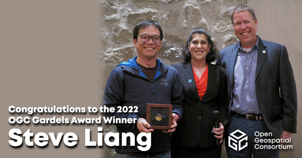
Steve Liang receives OGC’s 2022 Gardels Award
Congratulations to Steve Liang, awarded the 2022 Gardels Award for his work in sensor technologies for geospatial and pioneering web standards for publishing spatial data.
-
Press release
Developers Invited to the 2023 Open Standards and Open Source Software Code Sprint
OGC, Apache Software Foundation, Open Source Geospatial Foundation, and Camptocamp co-host annual code sprint to advance open geospatial standards.
-
Press release
CAE upgrades OGC Membership to Principal Level
CAE’s Principal level of OGC membership supports advancing standards for high fidelity geospatial data sources.
-
Press release
OGC seeks Public Comment on v1.1 of OGC API – Environment Data Retrieval Standard
The OGC API - EDR Standard makes it easier to efficiently access a wide range of geospatial or spatiotemporal data through a uniform, well-defined, simple...
-
Press release
OGC to form new GeoParquet Standards Working Group; Public Comment sought on Draft Charter
GeoParquet adds geospatial types to Apache Parquet to serve as an efficient cloud-native vector data format.
-
Call for participation (CFP)
OGC Calls For Participation in its next Pilot to improve Disaster Management and Response
New Pilot will bridge technology and stakeholder engagement to reduce disaster preparation time and accelerate our ability to transform data from observation into decision.
-
Blog article
With momentum and interest once again building around the ‘metaverse’, OGC hosted a ‘Metaverse Ad-Hoc Session’ at its virtual 121st Member Meeting in December 2021....
-
Blog article
A Strong Foundation for GeoAI Innovation
New AI capabilities have reoriented and transformed GIS and Remote Sensing, providing new solutions and greatly increasing efficiency.
-
Blog article
Hexagon on the value of collaboration, Standards, and OGC Membership
Hexagon’s long-time support of OGC and our Standards, including our family of OGC APIs, has enabled the Company to learn from, collaborate with, and support the...
-
Blog article
INSPIRE and OGC APIs – Modernizing INSPIRE
Within the broader context of the European Strategy for Data, the Joint Research Centre (the European Commission’s science and knowledge service) is collaborating with the EU Member States...
-
Blog article
One of Canada's oldest government institutions, MSC, is also one to keep up with the times by using the latest technologies in its quest to...
-
Blog article
Using OGC standards, the Intel Geospatial platform is providing simple access to a wide range of high-quality 2D and 3D geospatial data and analytic applications...
-
Blog article
Urban Digital Twins – Planning the Cities of Tomorrow
Urban digital twins are not a “solved problem.” Along with increased investment in research and development, the vision demands agreed-upon methodologies and standards, new commitments...
