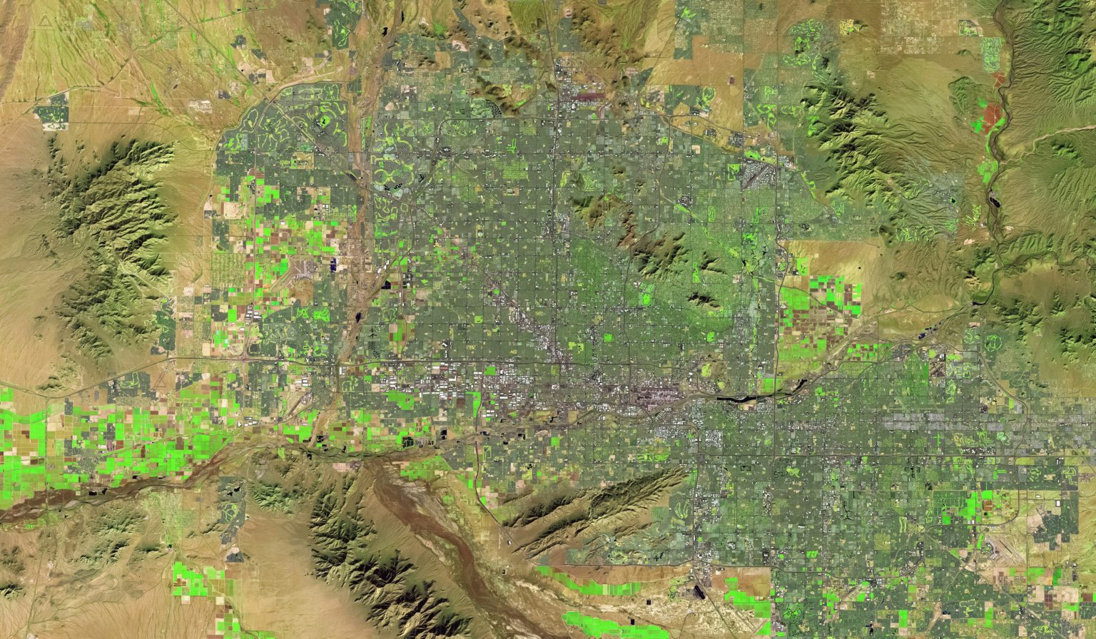
This standard defines the means by which the Geography Markup Language (GML) Standard is used within JPEG 2000 images for geographic imagery.
- Programs
Our Programs Menu
- Programs
- Standards Overview
- Research
- Compliance
- About
About Us Mega Menu
About
Get started and learn more about OGC.
- About
- People
- Governance
- Committees
- Policies
- History
- Awards
- Membership
- News & Events
News & Events Menu
- News
- Events
- Sponsorship
- Resources
Resources Menu
Resources
Explore resources to support your journey.
Documentation
Resource Types
Knowledge & Learning
- Documentation
- Resource Types
- Knowledge & Learning
- Contact
- Member Login
From chat to map: How DGGS + Agentic AI turn geodata into verifiable decision-making bases


Request For Comment (RFC)
OGC Seeks Public Comment on Candidate OGC SensorThings API Extension: WebSub Asynchronous Messaging Standard