


The Open Geospatial Consortium (OGC) is Calling For Participants in the OGC Disaster Pilot 2023. Funding is available. Responses are due by February 17, 2023. A Q&A Session will be held 10AM, US Eastern, on February 1.
The goal of the Disaster Pilot 2023 is to further improve the ability of key decision makers and responders to discover, manage, access, qualify, share, and exploit location-based information in support of disaster preparedness & response as well as the full cycle of multi-hazard disaster management.
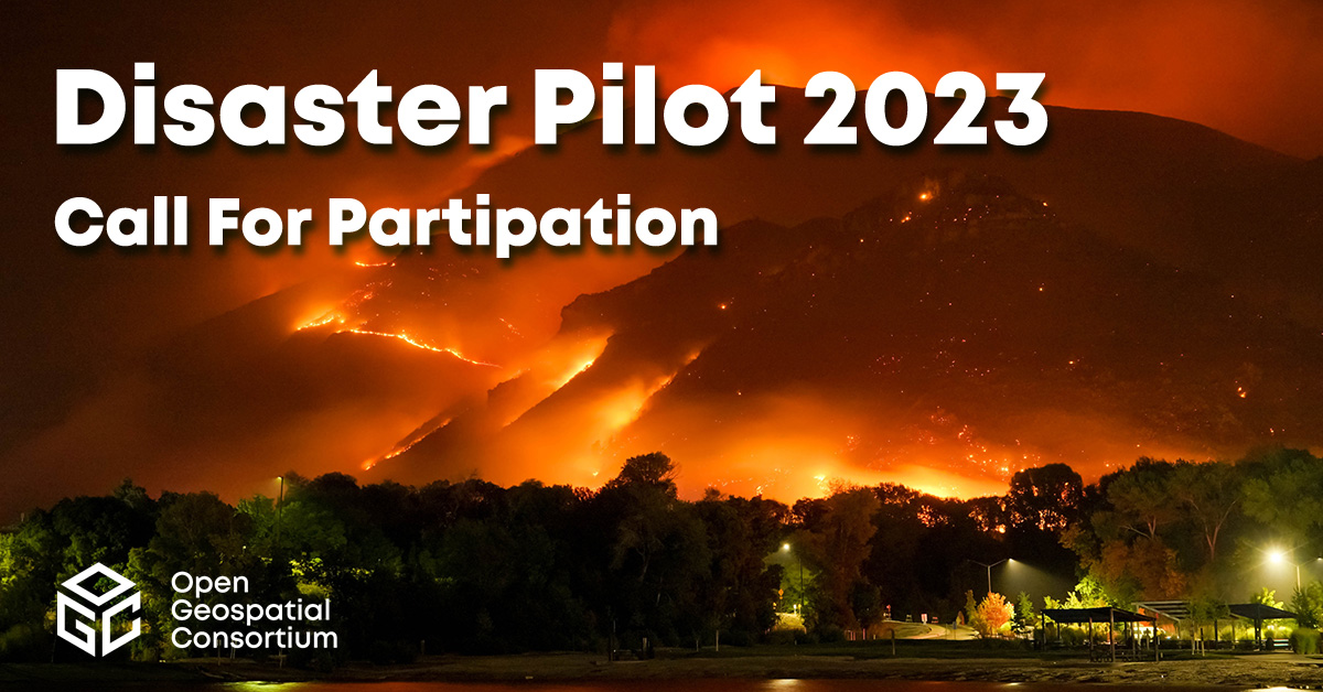
The OGC Disaster Pilot 2021 and 2022 initiatives included more than 50 individuals as participants and sponsors, and more than 150 stakeholder representatives, who collaboratively produced User and Provider Readiness Guides, multiple Engineering Reports, and a large number of workshops, webinars, and other outreach events. These Disaster Readiness Guides focused on flooding and landslide events, and now the 2023 Pilot seeks to update them to cover wildfires and drought.
The Pilot provides a unique opportunity for Participants to work jointly with the full range of disaster stakeholders – from EO data providers and relief organizations to field responders – towards the goal of applying standards-based geospatial IT solutions to real problems of marshaling coordinated, effective responses to complex disaster scenarios. Key technologies that will support this goal include Artificial Intelligence (GeoAI), Analysis Ready Data (ARD), Routing, APIs, Cloud Computing, Decision Ready Indicators (DRI) and more.
The outcomes are expected to shape the future of disaster management ecosystems through user-centric interoperability arrangements, identification of critical data sharing challenges, and the delivery of cloud computing scale and agility to field personnel and relief organizations when and where they need it. Pilot sponsorship supports this vision with cost-sharing funds to largely offset the costs associated with development, engineering, and demonstration of these outcomes. This offers selected Participants a unique opportunity to recoup a significant portion of their initiative expenses.
Disaster management efforts often fall short because collaborative workflows are not put into place until disaster has already struck, by which time it is too late to achieve fully informed decision making. The spaced-based observations, scientific insight, and cloud computing capabilities are there, but their benefits are not reaching the right people in the right form, at the right time and for the places where they are needed.
With the OGC Disaster Pilot 2023, the disaster management stakeholder community, together with the wider public, have the opportunity to bridge the divide between data and decisions. By bringing together the spatial data infrastructure (SDI), data sharing, and collaboration puzzle pieces that connect people and organizations – from the data providers all the way to and from first responders, decision makers, and everyone in between – the Pilot will help form a coordinated information ecosystem that is ready to adapt to any disaster, any region, any combination of data sources and tools, any expert insight, and any dire need.
OGC and its industry, government, and academic members make it easier and faster to fit those puzzle pieces to a functional and agile pattern. OGC Initiatives such as these Disaster Pilots enable the complex combinations of technological, architectural, standardization, operational requirements, and community perspectives to be rigorously prototyped, flight-tested, shared, and documented.
The OGC Disaster Pilot 2023 will be conducted under OGC’s Collaborative Solutions and Innovation (COSI) Program (formerly the Innovation Program), a collaborative, agile, and hands-on prototyping and engineering environment where sponsors and OGC members come together to address location interoperability challenges while validating international open standards. To learn about the benefits of sponsoring an OGC COSI Program Initiative such as this, visit the OGC COSI Program webpage, or watch this short video on how OGC’s COSI Program can benefit your organization.
Watch this video for an overview of some of OGC’s work in Disasters and Climate Change.
OGC is grateful for the industry leadership and investment of OGC Strategic Members NRCan, NASA, USGS, and FGDC as displayed by their sponsorship of this OGC COSI Program Initiative.
If you are interested in participating in this critical opportunity to shape collaborative disaster management capabilities, visit the Disaster Pilot 2023 page on ogc.org to download the Call For Participation or learn how to attend the Q&A Session on February 1. Responses are due by February 17, 2023.
About OGC
The Open Geospatial Consortium (OGC) is a collective problem-solving community of more than 550 experts representing industry, government, research and academia, collaborating to make geospatial (location) information and services FAIR – Findable, Accessible, Interoperable, and Reusable.
The global OGC Community engages in a mix of activities related to location-based technologies: developing consensus-based open standards and best-practices; collaborating on problem solving in agile innovation initiatives; participating in member meetings, events, and workshops; and more.
OGC’s unique standards development process moves at the pace of innovation, with constant input from technology forecasting, practical prototyping, real-world testing, and community engagement.
OGC bridges disparate sectors, domains, and technology trends, and encourages the cross-pollination of ideas between different communities of practice to improve decision-making at all levels. OGC is committed to creating an inclusive and sustainable future.
Visit ogc.org for more info on our work.

