Related Content: Climate Change
-
Blog article
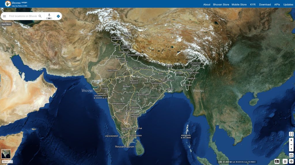
Bhuvan: Transforming India’s Governance with Geospatial Insights
The Bhuvan portal, developed by the Indian Space Research Organization’s National Remote Sensing Centre, is powered by OGC Standards and caters to 150,000 unique users...
-
Blog article
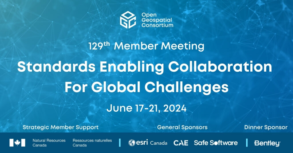
Standards Enabling Collaboration For Global Challenges
A preview of the 129th Member Meeting, to be held June 17-21 in Montreal, Canada.
-
Blog article
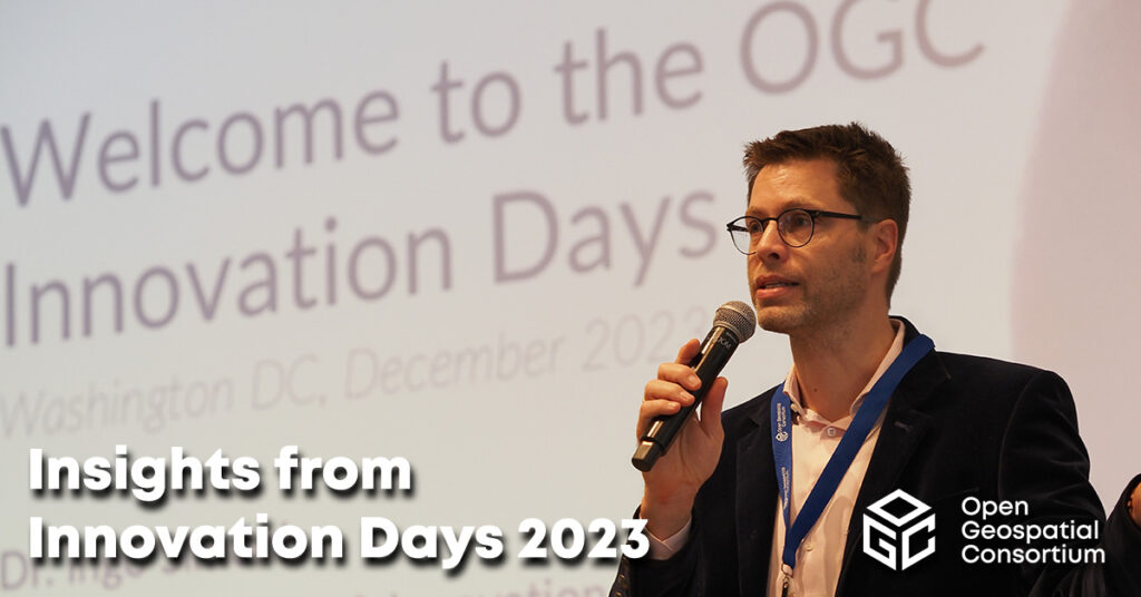
Insights from Innovation Days 2023
At OGC Innovation Days 2023, members of the climate, disaster, and emergency resilience and response communities gathered to explore what OGC-enabled geospatial technologies have made...
-
Blog article
CLIMOS and a FAIR data-to-information value chain
The “raw data to information” value chain underpinning Climate Resilience Information Systems (CRIS) is only made possible when the FAIR data principles are respected –...
-
Blog article
European Innovation, Global Impact
OGC's ongoing contributions to European research topics, driven by projects co-funded by the European Commission (EC), cover areas such as data spaces, climate, digital building...
-
Blog article
A recap of the 126th OGC Member Meeting, Huntsville, AL, USA
Attendees spent the week discussing the latest geospatial innovations in areas such as Climate, Space, Open Science, Defense & Intelligence, Connected Systems, and more.
-
Announcement
OGC Forms new Agriculture Information Model Standards Working Group
New OGC Working Group will develop, publish, and maintain an Agriculture Information Model (AIM) to support interoperability of agriculture information.
-
Blog article
A recap of the 125th OGC Member Meeting, Frascati, Italy
With a theme of "Geospatial in Space" OGC's 125th Member Meeting saw 200+ experts converge on th ESA Centre for Earth Observation (ESRIN) in Frascati,...
-
Call for participation (CFP)
OGC Calls For Participation in its next Pilot to improve Disaster Management and Response
New Pilot will bridge technology and stakeholder engagement to reduce disaster preparation time and accelerate our ability to transform data from observation into decision.
-
Blog article
Principled and Powerful: Geospatial data for ESG reporting at Location Powers 2022
There was a principled and powerful representation in attendance at OGC’s Location Powers event in London last November. Ordnance Survey hosted the event at the Geovation Hub with 23 speakers over...
-
Announcement
OGC Testbed-19 Call For Sponsors: Interoperability and Collaboration from Oceans to Space
The Open Geospatial Consortium (OGC) is currently preparing its next major Innovation Initiative, Testbed-19, which builds upon the success and outcomes of Testbed-17, Testbed-18, and...
-
Blog article
7 Key Takeaways from the OGC Climate Change Special Session
Article contributed by Steve Liang, SensorUp “If you can’t measure it, you can’t manage it.” The quote is originally from management consultant Peter Drucker and...
-
Blog article
Paving the way forward for Building Energy Mapping and Analytics
This Article was Contributed by Eddie Oldfield, Senior Lead, Projects & Advisory Services, QUEST; Jessica Webster, Energy Planning Analyst, Natural Resources Canada; and Ryan Ahola,...
-
Blog article
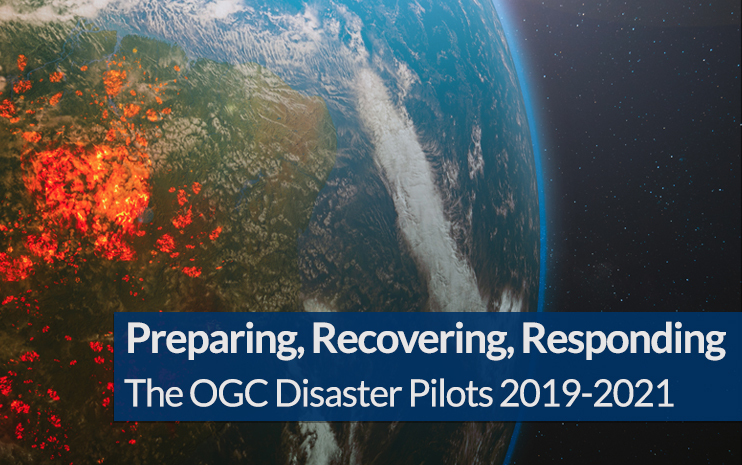
The last three years have been unprecedented when it comes to disasters. In 2019 alone there was billions of dollars’ worth of damage, and thousands...
