Related Content: OGC APIs
-
Press release
OGC Membership approves OGC API – Moving Features – Part 1: Core as an official OGC Standard
OGC API – Moving Features provides a standard way to manage and interact with geospatial data representing phenomena and objects that move and change over...

-
Press release
OGC API – EDR – Part 2 defines a web interface for efficient event-driven data updates, employing a Publish-Subscribe Workflow for real-time notifications.

-
Press release
OGC Membership approves OGC API – Maps – Part 1: Core as an official OGC Standard
OGC API – Maps supports the ability to generate maps by combining and rendering data from one or more servers into a single view, ensuring...
-
Press release
OGC Membership approves OGC API – Features – Part 3: Filtering as an official OGC Standard
OGC API - Features defines a web interface for creating, modifying, and querying feature data. Part 3 supports advanced filtering functionality using the Common Query...

-
Blog article
Public Services on the Map: A Decade of Success
The Netherlands’ Cadastre, Land Registry, and Mapping Agency (Kadaster) maintains the nation’s register of land and property rights, ships, aircraft, and telecom networks. It’s also...

-
Press release
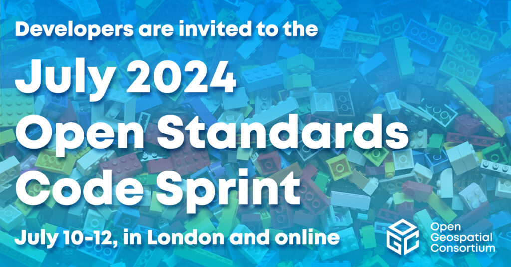
Registrations Open for OGC’s July 2024 Open Standards Code Sprint
While all OGC Standards are in scope, the Sprint will feature three special tracks on Data Quality & Artificial Intelligence, Validators, and Map Markup Language...
-
Press release
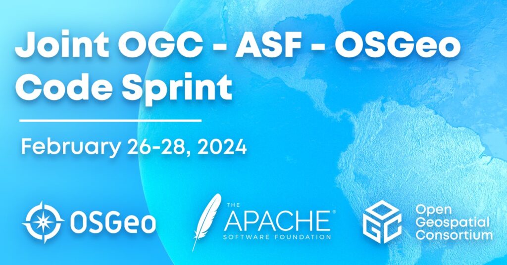
Announcing the 2024 Joint OGC ASF OSGeo Code Sprint
4th annual joint sprint will advance support of open geospatial Standards within the developer community – while advancing the Standards themselves.
-
Blog article
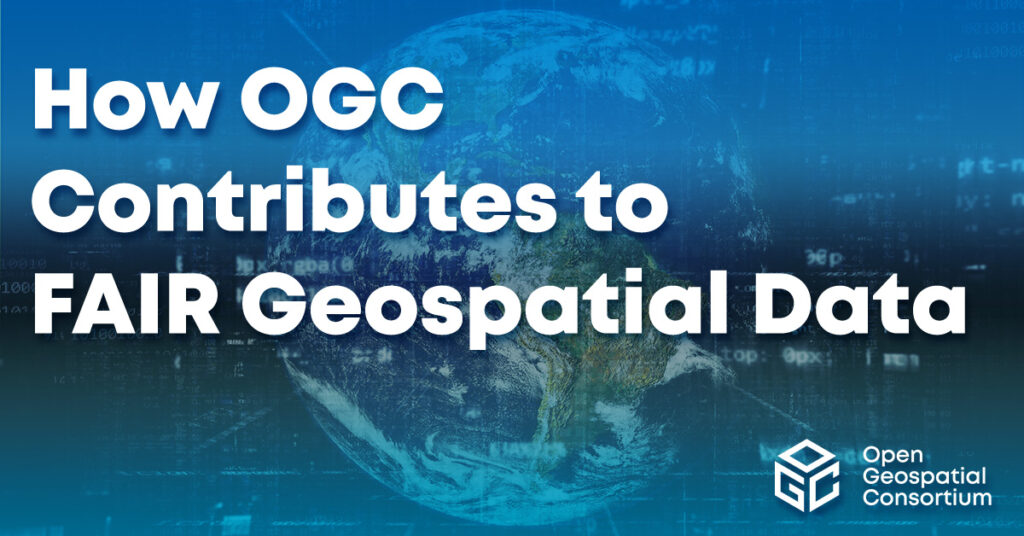
How OGC Contributes to FAIR Geospatial Data
Standards are a key element of the FAIR Principles of Findability, Accessibility, Interoperability, and Reusability. As such, the Open Geospatial Consortium (OGC) has been supporting...
-
Press release
Registrations Open for OGC’s October 2023 Open Standards Code Sprint
London-based hybrid event will support the development and improvement of Open Standards and supporting applications.

-
Blog article
European Innovation, Global Impact
OGC's ongoing contributions to European research topics, driven by projects co-funded by the European Commission (EC), cover areas such as data spaces, climate, digital building...

-
Press release
OGC API – Environmental Data Retrieval v1.1 Adopted as Official Standard
The OGC API – EDR Standard makes it easy to access just the required subset from a wide range of data through a uniform, well-defined,...
-
Press release
Developers invited to the 2023 OGC API – Processes Virtual Code Sprint
Next OGC Code Sprint, held September 18-20, will refine the OGC API - Processes Standard and associated extensions.
-
Press release
OGC Compliance Certification Available for v1.0 of the OGC API – Processes Standard
OGC compliance provides confidence that a product will seamlessly integrate with other compliant solutions, regardless of the vendor that created them.
-
Blog article
The 2023 OGC Tiling Interfaces Code Sprint – How it went!
On June 12-14, 2023, OGC held its 2023 Tiling Interfaces Code Sprint at OGC Strategic Member NGA’s Moonshot Labs in St. Louis, Missouri. The code...
-
Blog article
OGC SensorThings API for European Green Deal Data Spaces
This post outlines the SensorThings API Standard together with initial results from two Horizon Europe projects on Green Deal Data Spaces: All Data for Green...
-
Press release
OGC API – Common – Part 1: Core Adopted as Official OGC Standard
OGC API - Common specifies reusable building blocks that can be used in the construction of OGC API or other other resource-specific Web API Standards.
-
Press release
Developers Invited to the 2023 OGC Tiling Interfaces Code Sprint
Online and in-person Code Sprint, June 12-14, will support the development and maturation of Open Standards and Projects that use tiles to transfer and represent...

-
Blog article
OGC SensorThings API and OGC API – Features: Good Practice for European Spatial Information
OGC API - Features and OGC SensorThings API Standards are recognised as INSPIRE good practice for the provision of INSPIRE data.

-
Press release
Developers Invited to the 2023 Open Standards and Open Source Software Code Sprint
OGC, Apache Software Foundation, Open Source Geospatial Foundation, and Camptocamp co-host annual code sprint to advance open geospatial standards.
-
Blog article
Ordnance Survey GB and Next Generation OGC API Standards
Pairing Ordnance Survey's new, easier-to-use data with OGC's new easy-to-use OGC APIs, OS has launched the OS NGD API – Features product, which provides access...
-
Press release
OGC seeks Public Comment on v1.1 of OGC API – Environment Data Retrieval Standard
The OGC API - EDR Standard makes it easier to efficiently access a wide range of geospatial or spatiotemporal data through a uniform, well-defined, simple...
-
Press release
OGC to form new GeoParquet Standards Working Group; Public Comment sought on Draft Charter
GeoParquet adds geospatial types to Apache Parquet to serve as an efficient cloud-native vector data format.
-
Press release
OGC Announces new Geo for Metaverse Domain Working Group
New OGC DWG will help the Location communities collaborate and contribute expertise into building and growing the open Metaverse.
-
Call for participation (CFP)
OGC Calls For Participation in its next Pilot to improve Disaster Management and Response
New Pilot will bridge technology and stakeholder engagement to reduce disaster preparation time and accelerate our ability to transform data from observation into decision.
-
Blog article
The mechanisms through which maps are delivered across the Internet have evolved significantly over the past two decades. Advancement of such mechanisms has been driven...
-
Press release
OGC Seeks Public Comment on Creating new GeoDataCube Standards Working Group
New Standard Working Group will improve data interoperability of GeoDataCube for Analysis Ready Data. The public comment period for the GeoDataCubes SWG will end 19...
-
Press release
OGC Testbed-19 Call For Sponsors: Interoperability and Collaboration from Oceans to Space
The Open Geospatial Consortium (OGC) is currently preparing its next major Innovation Initiative, Testbed-19, which builds upon the success and outcomes of Testbed-17, Testbed-18, and...

-
Press release
OGC API – Tiles – Part 1: Core adopted as official OGC Standard
The release of OGC API - Tiles as an OGC Standard signals a new era in how tiled geospatial information is served over the Web.
-
Press release
The OGC Climate Resilience DWG will provide an open forum for the discussion and presentation of interoperability requirements, use cases, pilots, and implementations of OGC...

-
Blog article
A recap of the 124th OGC Member Meeting, Singapore
From October 3-7 ‘22 (and a little bit beforehand), more than 100 experts from across industry, government, and academia converged on the Lifelong Learning Institute...

-
Press release
Superseded Best Practice Document will be retired to ensure consistency in implementation.

-
Blog article
Reflections on the 2022 Joint OGC & ISO Code Sprint – The Metadata Code Sprint
Over the past two decades, standards such as ISO 19115:2003 and the OGC Catalog Services for the Web (CSW) have been integrated into several Spatial...
-
Blog article
The Latest on Cloud-Native Geospatial Standards in OGC
OGC Chief Standards Officer, Scott Simmons, digs into the elements of the cloud ecosystem that OGC is addressing: interfaces, applications, encodings, and operations.
-
Blog article
The 2022 Joint OGC OSGeo ASF Code Sprint – How it went!
Over the past decade, geospatial technologies and data have become more widespread in use and application. A key catalyst for the increased uptake of geospatial...
-
Blog article
Lowering the barrier of entry for OGC Web APIs
A version of this article originally appeared in the May/June 2021 issue of GeoConnexion Magazine under the title ‘Lowering The Barrier To Entry.’ For the last few...

-
Blog article
7 Key Takeaways from the OGC Climate Change Special Session
Article contributed by Steve Liang, SensorUp “If you can’t measure it, you can’t manage it.” The quote is originally from management consultant Peter Drucker and...
-
Blog article
Article Contributed by Chris Holmes, OGC Visiting Fellow – About six months ago I started as the first ‘Visiting Fellow’ of the Open Geospatial Consortium. It’s been...
-
Blog article Press release
How it Went! The November 2021 Geospatial API Virtual Code Sprint
From November 15-17, 2021, OGC and ISO/TC 211 jointly hosted the November 2021 Geospatial API Virtual Code Sprint. The code sprint focused on the refinement of...
-
Blog article
Towards a Cloud-Native Geospatial standards baseline
Article Contributed by Chris Holmes, OGC Visiting Fellow – In my previous post I laid out the vision for Cloud-Native Geospatial, but with this post, I...
-
Blog article
Hexagon on the value of collaboration, Standards, and OGC Membership
Hexagon’s long-time support of OGC and our Standards, including our family of OGC APIs, has enabled the Company to learn from, collaborate with, and support the...

-
Blog article
INSPIRE and OGC APIs – Modernizing INSPIRE
Within the broader context of the European Strategy for Data, the Joint Research Centre (the European Commission’s science and knowledge service) is collaborating with the EU Member States...
-
Blog article
Esri’s ArcGIS enables thousands of datasets, maps, and apps for location
Article Contributed by Adam Martin, ESRI Open standards aren’t just about efficiency. They allow organizations across the globe to share information effectively and securely, and...
-
Blog article
Paving the way forward for Building Energy Mapping and Analytics
This Article was Contributed by Eddie Oldfield, Senior Lead, Projects & Advisory Services, QUEST; Jessica Webster, Energy Planning Analyst, Natural Resources Canada; and Ryan Ahola,...

-
Blog article
A User-centric Approach to Data Cubes
A recent OGC workshop led to the development of a new definition of data cube and underscored the need for a user-centric approach.
-
Press release
Three reasons why New Space is valuable to the location community – and vice-versa
“Everybody has to have an interest in solving global problems. Unless one has entirely lost touch with reality. – And such people do exist.” Dennis...

-
Blog article
One of Canada's oldest government institutions, MSC, is also one to keep up with the times by using the latest technologies in its quest to...

-
Blog article
Reflecting on the May 2021 OGC API Code Sprint
APIs have proven to be a popular and very effective enabler of rapid software development. This is more so in web mapping, where a combination...
-
Blog article
Evolving Geospatial Technologies Through OGC’s Testbed-17
Decades in the Making: The Challenges of Evolving Technologies and Standards When it comes to evolving a technology or standard over multiple decades, the struggle...
-
Blog article
OGC Startups: Disrupting, Growing, Evolving Location
Join OGC and our thriving startup community today and learn why it is such a quickly growing consortium of industry leaders, influencers, and more. Over the course...

-
Blog article
The US Geospatial Data Act – Evolving Beyond Committees, Processes, and Tools
Cowritten by co-written by Molly Schar, NSGIC Executive Director, and Nadine Alahmeh, OGC CEO – It’s no secret, geospatial is mainstream, and it is everywhere. As...
-
Blog article
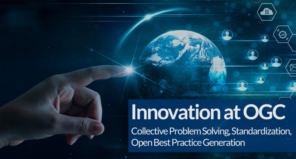
Innovation at OGC: Data-driven Decision Making
Data-driven decision making is fundamental to all aspects of society, In almost all cases, location data is involved. For decades, OGC has driven toward open...
-
Blog article
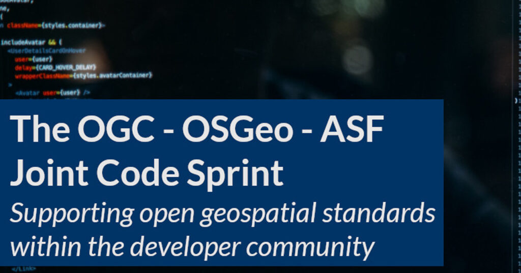
The 2021 Joint OGC – OSGeo – ASF Code Sprint – How it went!
From February 17-19, 2021, the Open Geospatial Consortium (OGC), Open Source Geospatial Foundation (OSGeo), and the Apache Software Foundation (ASF) hosted a joint virtual code...
-
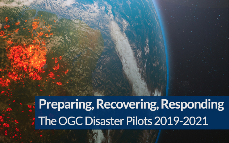
Blog article
The last three years have been unprecedented when it comes to disasters. In 2019 alone there was billions of dollars’ worth of damage, and thousands...
-
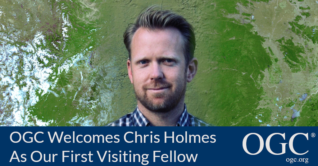
Press release
OGC welcomes Chris Holmes as its inaugural Visiting Fellow
Chris Holmes will bring to OGC invaluable insight and perspective to the on-going development of the OGC API family of Standards.
-
Blog article
Four Location-Focused Themes at the 118th OGC Member Meeting
OGC’s Member Meeting is the center of all things for location information. Happening for almost three decades, the meetings focus on everything from evolving core standards...
-
Blog article
Over three years ago, a small group of OGC members working on the next version of the venerable Web Feature Service (WFS) standard started the...