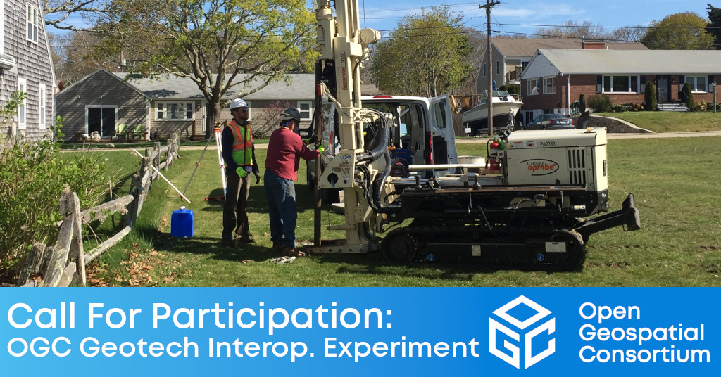
The Geotech IE will ensure that geotechnical engineering data can seamlessly move between GIS and BIM environments in support of engineering and infrastructure projects.

The Open Geospatial Consortium (OGC) has issued a Call for Participation (CFP) to solicit proposals for the OGC Geotech Interoperability Experiment (IE). Proposal submissions close on February 10, 2022.
The goal of the Geotech IE is to ensure that geotechnical engineering data can seamlessly move between GIS and BIM environments to support engineering and infrastructure projects that rely upon those technologies. The IE will leverage OGC and buildingSMART International (bSI) Standards.
The popular Industry Foundation Classes (IFCs) standard has been extended to support geotechnics. Specifically, IFC now supports the description of semantic objects commonly used to observe and describe the environment of an infrastructure. This means it's now possible for BIM tools to draw, describe, and share geotechnical objects. However, in geotechnical engineering, much of the supporting data isn't usually available in IFC, but often in some GIS format or encoding based on an OGC Standard such as GML. Having to re-enter the provided data for use in BIM applications is both an effort and risks input error.
As such, the Geotech IE aims to improve GIS-BIM continuity by enabling BIM workflows to ingest any such data that's encoded using OGC Standards.
A proof of concept of this approach was completed and presented at the buildingSmart International Summit in Beijing in November 2019. The Geotech IE aims to build on this work and make this practice more standardized. The project organizers will achieve this by utilizing the standardization resources already available from OGC and other organizations as an input for OpenBIM resources.
The Geotech IE will result in the publication of an OGC Engineering Report (ER) summarizing the activities of the IE, as well as describing the suitability of the experiments for more broad use, plus any remaining gaps and further necessary experimentation.
The objectives of the IE include:
- Align OGC and bSI conceptual models for geotechnical engineering and define possible calls to approved and in-development OGC APIs from bSI IFCs;
- Consider the IFC Geotechnical extension being worked as part of bSI IFC 4.3 RC 4 and in ISO / TC 59 / SC 13;
- Extend existing OGC Standards for geoscience accordingly;
- Draft a Technical Paper for coordinated management between OGC and bSI for geotechnical data management;
- Draft technical documentation on the use of OGC APIs for this application domain; and
- Draft implementation guidance for software publishers.
The founding organizations behind the Geotech IE are: MINnD (Modélisation des informations interopérables pour les infrastructures durables) National Project, France; and Bureau de Recherches Géologiques et Minières (BRGM), France.
This IE is open to the general public. Participants will be required to make a resource commitment. Technical experts from non-OGC organizations may be Participants in the IE. Other individuals from non-OGC organizations will be allowed in the IE as Observers. Any OGC member may register as an Observer.
The OGC Geotech IE will be conducted under OGC's Innovation Program, a collaborative, agile, and hands-on prototyping and engineering environment where sponsors and OGC members come together to address location interoperability challenges while validating international open standards. To learn about the benefits of sponsoring an OGC Innovation Program Initiative such as this, visit the OGC Innovation Program webpage, or watch this short video on how OGC's Innovation Program can benefit your organization.
For more information on the IE, including the Call For Participation (CFP), visit the OGC Geotech Interoperability Experiment webpage on ogc.org. Proposal submissions close on February 10, 2022.
About OGC
The Open Geospatial Consortium (OGC) is a collective problem-solving community of experts from more than 500 businesses, government agencies, research organizations, and universities driven to make geospatial (location) information and services FAIR – Findable, Accessible, Interoperable, and Reusable.
The global OGC Community engages in a mix of activities related to location-based technologies: developing consensus-based open standards and best-practice; collaborating on agile innovation initiatives; engaging in community meetings, events, and workshops; and more.
OGC's unique standards development process moves at the pace of innovation, with constant input from technology forecasting, practical prototyping, real-world testing, and community engagement.
OGC bridges disparate sectors, domains, and technology trends, and encourages the cross-pollination of ideas between different communities of practice to improve decision-making at all levels. OGC is committed to creating an inclusive and sustainable future.
Visit ogc.org for more info on our work.
“
