Related Content: BIM
-
Blog article
A recap of the 128th OGC Member Meeting, Delft, The Netherlands
OGC’s 128th Member Meeting, themed ‘GeoBIM for the Built Environment,’ was our biggest ever, with over 300 attendees from industry, government and academia.

-
Blog article
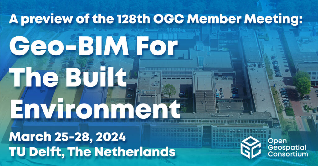
Geo-BIM for the Built Environment
The meeting will include a Geo-BIM Summit, a Built Environment Joint Session, a Land Administration Special Session, a meeting of the OGC Europe Forum, sessions...
-
Blog article
With momentum and interest once again building around the ‘metaverse’, OGC hosted a ‘Metaverse Ad-Hoc Session’ at its virtual 121st Member Meeting in December 2021....

-
Blog article
Urban Digital Twins – Planning the Cities of Tomorrow
Urban digital twins are not a “solved problem.” Along with increased investment in research and development, the vision demands agreed-upon methodologies and standards, new commitments...