


Subscribe to our Press Release
Subscribe here to receive future Press Releases by email: Subscribe
info [at] ogc.org
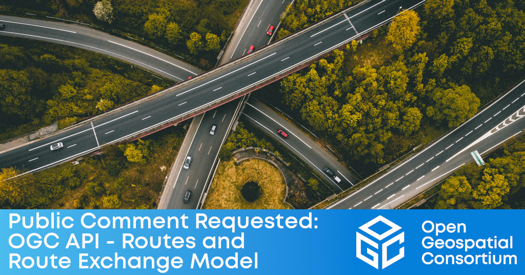
Latest OGC API Standard enables Web APIs to query any number of routing and/or data providers, present the resulting routes in a single place, and share them with others.
The Open Geospatial Consortium (OGC) seeks public comment on the candidate OGC API – Routes – Part 1: Core Standard and related candidate OGC Route Exchange Model Standard. The candidate OGC API – Routes Standard specifies the fundamental API building blocks for interacting with on-road route resources, and uses the Route Exchange Model to represent routes. Comments are due by May 9, 2022.
Using geospatial information to plan routes for travel and logistics is among the most common uses of geospatial and location-based technologies, with countless routes being generated daily by smartphone users, logistics companies, and others. In support of this, road network data, routing & navigation algorithms, and route calculation services are now available from many different providers and sources. While this diversity in the marketplace is generally beneficial to consumers of route information, it makes accessing, integrating, overlaying, or comparing routes from different routing services overly complex.
The candidate OGC API – Routes – Part 1: Core Standard enables a simple method for an application to query any number of routing and/or data providers, even across multiple modes of transport, and present the resulting routes to the user in a single place. The capability for a client to request and retrieve routes from a routing API provider and share routes between applications will improve interoperability for many users, communities, and enterprises.
The candidate OGC API – Routes – Part 1: Core Standard provides the methods and apparatus for the execution of basic commands to retrieve, update, share, and delete routes, and will interface with other geospatial resources that use OGC APIs. Implementations of this candidate API standard leverage the OpenAPI specification for describing the resources and capabilities they offer. Complementing the API standard, the candidate Route Exchange Model standard provides a standardized method to share routes, regardless of the underlying proprietary data, routing engine software, or algorithms.
- For providers of routes, the API building blocks and the Route Exchange Model provide a simple model to publish and offer those routes as resources for use by other systems.
- For developers building infrastructures, the API building blocks provide an abstraction layer to leverage existing routing engines and algorithms using modern APIs – saving development and deployment time and costs.
- For users, applications, and enterprises, the capability to get routes across a common API, regardless of the underlying routing data, engines, or algorithms, represents a significant step forward in geospatial interoperability.
OGC recognizes that in addition to on-road routing there are many environments for implementing open routing, including off-road, air, sea, Smart Cities, and many others, which may be addressed as future work. In addition, some communities may require specialized parameters in their Routing API. Accordingly, any on-road routing API will accept two waypoints: the start and end position. APIs are, however, free to support additional waypoints between the start and end positions, and be extensible to support parameters required by diverse implementation communities. This too could be addressed as future work or extensions.
OGC API Standards are developed in a modular way, meaning that their functionality can be added to existing web APIs as desired. To learn more about how the family of OGC API Standards work together to provide modular “building blocks for location” that address both simple and the most complex use-cases, visit ogcapi.org.
Work on the OGC API – Routes Standard began in the OGC Open Routing Pilot. A two-part overview of some of the work undertaken during the Pilot was published by Pilot Participants on the OGC Blog at: Building an Interoperable Routing Engine (Part 1) and Building an Interoperable Routing Engine (Part 2).
OGC Members interested in staying up to date on the progress of this standard, or contributing to its development, are encouraged to join the OGC Routing SWG via the OGC Portal.
The candidate OGC API – Routes – Part 1: Core Standard and candidate OGC Route Exchange Model Standard are available for review and comment on the OGC Portal. Comments are due by May 9, 2022, and should be submitted via the OGC Routing SWG GitHub Repository.
About OGC
The Open Geospatial Consortium (OGC) is a collective problem-solving community of experts from more than 500 businesses, government agencies, research organizations, and universities driven to make geospatial (location) information and services FAIR – Findable, Accessible, Interoperable, and Reusable.
The global OGC Community engages in a mix of activities related to location-based technologies: developing consensus-based open standards and best-practice; collaborating on agile innovation initiatives; engaging in community meetings, events, and workshops; and more.
OGC’s unique standards development process moves at the pace of innovation, with constant input from technology forecasting, practical prototyping, real-world testing, and community engagement.
OGC bridges disparate sectors, domains, and technology trends, and encourages the cross-pollination of ideas between different communities of practice to improve decision-making at all levels. OGC is committed to creating an inclusive and sustainable future.
Visit ogc.org for more info on our work.

