


Subscribe to our Press Release
Subscribe here to receive future Press Releases by email: Subscribe
info [at] ogc.org
The CDB SWG plans minor and major revisions to the CDB standard used for storage, access, and modification of synthetic environment databases by the modeling & simulation and gaming communities.
The Open Geospatial Consortium (OGC) seeks public comment on the draft updated charter for the CDB Standards Working Group (SWG). The purpose of the CDB SWG is to maintain and improve the OGC CDB Standard and Best Practices documents. Comments are due by the 2nd of February, 2021.
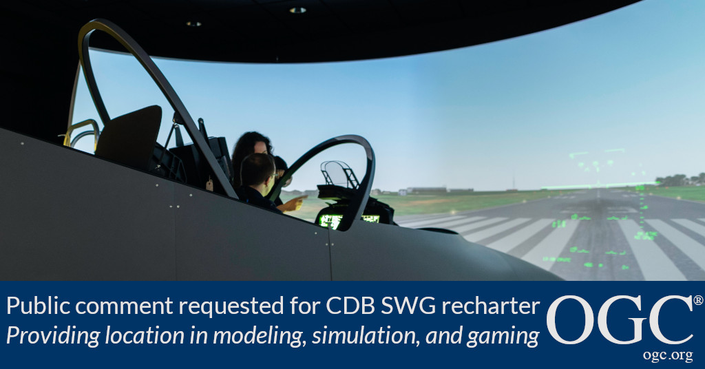
The CDB standard defines an open format for the storage, access, and modification of a synthetic environment database. A synthetic environment is a computer simulation that represents activities at a high level of realism for use in a diverse array of applications, from simulation of theaters of war to factories and manufacturing processes. These environments may be created within a single computer or a vast distributed network connected by local and wide area networks and augmented by realistic special effects and accurate behavioral models. Synthetic Environments allow visualization of, and immersion into, the environment being simulated.
The CDB standard defines the organization and storage structure of a worldwide synthetic representation of Earth, as well as the conventions necessary to support all of the subsystems of a full-mission simulator. CDB makes use of several commercial and simulation data formats endorsed by leaders of the database tools industry.
The modeling & simulation end-user community increasingly requires “plug and play” synthetic environment database re-use and a common synthetic environment local representation to enhance realism and “fair fight” concepts in military simulation. The cost benefit of re-using complex curated synthetic environments is one major objective. In military simulation communities, heterogeneous simulations within Live (using real-world vehicles), Virtual (simulations with human-in-the-loop vehicle controllers), Constructive (simulations within which entity dynamics are computer controlled), and Gaming (LVC-G) are being composed on demand; such federations are severely limited by the current common practice using local proprietary data models and formats.
As such, the following additional tasks are proposed to be undertaken by the CDB SWG:
- Development of a minor revision, CDB V1.3, to provide a backwards-compatible capability to encode CDB attribution data in a modernized approach, as recommended in part by OGC Discussion Paper 20-092, which summarizes the experimentation and outcomes of the US SOCOM / SOFWERX sponsored Geospatial Tech Sprint II that was concluded in October 2020.
- Continued development of CDB X, a major revision to the OGC CDB Standard.
The draft CDB SWG charter is available for review and comment on the OGC Portal. Comments are due by the 2nd of February, 2021, and should be submitted via the method outlined on the CDB SWG re-charter public comment request page.
About OGC
The Open Geospatial Consortium (OGC) is an international consortium of more than 500 businesses, government agencies, research organizations, and universities driven to make geospatial (location) information and services FAIR – Findable, Accessible, Interoperable, and Reusable.
OGC’s member-driven consensus process creates royalty free, publicly available geospatial standards. Existing at the cutting edge, OGC actively analyzes and anticipates emerging tech trends, and runs an agile, collaborative Research and Development (R&D) lab that builds and tests innovative prototype solutions to members’ use cases.
OGC members together form a global forum of experts and communities that use location to connect people with technology and improve decision-making at all levels. OGC is committed to creating a sustainable future for us, our children, and future generations.
Visit ogc.org for more info on our work.

