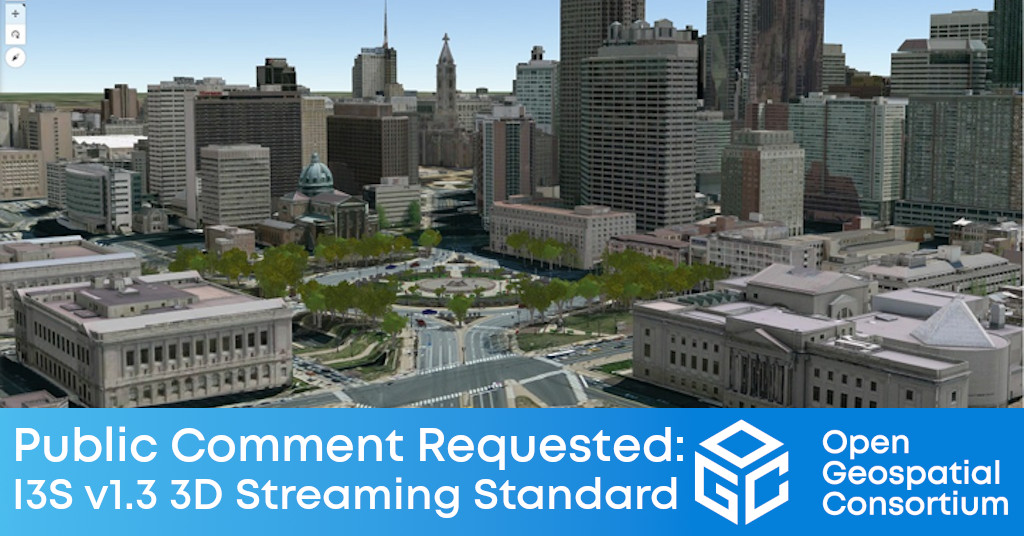
Version 1.3 of the I3S Community Standard, used for streaming large 3D datasets to desktop and mobile devices, adds support for building models derived from BIM or other 3D building data.

The Open Geospatial Consortium (OGC) seeks public comment on version 1.3 of the OGC Indexed 3d Scene Layer (I3S) and Scene Layer Package Format Community Standard. Version 1.3 adds support for Building Scene Layers. Building Scene Layers are derived from Building Information Models (BIM) and/or other 3D building data. Comments are due by September 18, 2022.
I3S is designed to enable the streaming and storage of arbitrarily large amounts of 3D geographic data. An I3S dataset, referred to as a Scene Layer, can consist of millions of discrete 3D objects with attributes, integrated surface meshes, symbolized points, or point cloud data covering small to extensive geographic areas. Designed for performance and scalability, a scene layer enables the efficient encoding and transmission of 3D geospatial content for an interactive visualization experience on web browsers, mobile, and desktop apps for both offline and online access.
I3S is web and cloud friendly and is rooted in modern standards and technological advancements in the areas of 3D graphics, data structuring, and mesh and texture compression.
Version 1.3 of the OGC I3S Community Standard adds support for Building Scene Layers (BSL). A Building Scene Layer is a 3D representation of a building model. A building model may be derived from 3D construction content, such as BIM data, or from a relational database model that contains 3D spatial information. The I3S BSL capability is designed to model the organization of construction data by grouping content into standard engineering disciplines. Content in a BSL may represent a partial building, an individual building, or multiple buildings on a campus.
An I3S Building Scene Layer also encapsulates the semantic structure of the information in the building model while capturing geometry and attributes that can be used in an application. A BSL captures standard Architectural Engineering and Construction (AEC) disciplines such as Mechanical, Architectural, Piping, Electrical, and Structural. Within each discipline, a BSL groups category layers containing 3D objects representing assets of the building such as doors, windows, pipes and walls. The assets can contain attributes that directly reflect standard and user defined metadata that are stored in the source BIM content or other 3D data source.
The candidate OGC Indexed 3d Scene Layer (I3S) and Scene Layer Package (*.slpk) Format v1.3 Community Standard, as well as relevant release notes, are available for review and comment on the OGC Portal. Comments are due by September 18, 2022, and should be submitted via the method outlined on the OGC Indexed 3d Scene Layer (I3S) Version 1.3 Community Standard public comment request page.
About OGC
The Open Geospatial Consortium (OGC) is a collective problem-solving community of more than 550 experts representing industry, government, research and academia, collaborating to make geospatial (location) information and services FAIR – Findable, Accessible, Interoperable, and Reusable.
The global OGC Community engages in a mix of activities related to location-based technologies: developing consensus-based open standards and best-practices; collaborating on problem solving in agile innovation initiatives; participating in member meetings, events, and workshops; and more.
OGC's unique standards development process moves at the pace of innovation, with constant input from technology forecasting, practical prototyping, real-world testing, and community engagement.
OGC bridges disparate sectors, domains, and technology trends, and encourages the cross-pollination of ideas between different communities of practice to improve decision-making at all levels. OGC is committed to creating an inclusive and sustainable future.
Visit ogc.org for more info on our work.
“


