


Subscribe to our Press Release
Subscribe here to receive future Press Releases by email: Subscribe
info [at] ogc.org
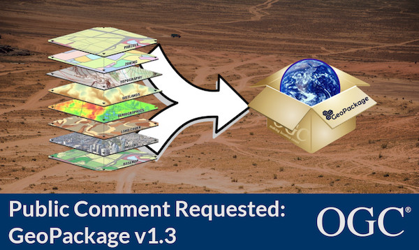
V1.3 is a minor update to GeoPackage, the open, standards-based, platform-independent, portable, self-describing, compact format for transferring geospatial information.
Open Geospatial Consortium (OGC) seeks public comment on the latest version of the GeoPackage Standard, v1.3.0. GeoPackage is an open, standards-based, platform-independent, portable, self-describing, compact format for transferring geospatial information. Comments are due by June 4, 2020.
GeoPackage version 1.3.0 is a minor revision to the current version 1.2.1. All of the changes were carefully considered for impact on existing implementations. Any changes considered to have a significant impact on reverse compatibility were rejected or recast in order to limit their impact.
In addition to a number of administrative changes to improve readability, clarity, and correctness, the following substantive changes were incorporated into the draft GeoPackage 1.3 release:
- Enforce alignment of Spatial Reference System (SRS) Identifiers between tables.
- Clarify use of views in user-defined tables.
- Relax Requirement 104 to allow use of schemas with attributes and extensions.
- Allow metadata scopes to be extended.
- Create new Requirement 152 to describe empty geometries.
As well as being fully interoperable and open, GeoPackage was designed with three additional goals in mind: to be a convenient and efficient container for geospatial information; to enable operations in all computing environments, including those with Disconnected, Degraded, Intermittent, or Limited (DDIL) network connectivity; and to be extensible, allowing it to evolve to meet future operational needs.
GeoPackage can store multiple datasets, data types, and metadata records in the same file, minimizing cumbersome and inefficient file manipulation. By building on the industry-standard SQLite relational database, GeoPackage enables rapid reading and writing operations. Since nearly every operating system today supports SQLite, GeoPackages can be used on virtually any device on the planet – from Cloud infrastructure to a smartphone.
For a primer on the capabilities of GeoPackage, read the blog post: #GeoPackageDay 2020 – what is GeoPackage?
The release notes containing the full list of changes seen in version 1.3 are available at: https://portal.ogc.org/files/92744.
The candidate GeoPackage version 1.3 standard is available for review and comment on the OGC Portal or GeoPackage GitHub page. Comments are due by June 4, 2020, and should be submitted via the method outlined on the GeoPackage v1.3 Standard’s comment request page.
About OGC
The Open Geospatial Consortium (OGC) is an international consortium of more than 500 businesses, government agencies, research organizations, and universities driven to make geospatial (location) information and services FAIR – Findable, Accessible, Interoperable, and Reusable.
OGC’s member-driven consensus process creates royalty free, publicly available geospatial standards. Existing at the cutting edge, OGC actively analyzes and anticipates emerging tech trends, and runs an agile, collaborative Research and Development (R&D) lab that builds and tests innovative prototype solutions to members’ use cases.
OGC members together form a global forum of experts and communities that use location to connect people with technology and improve decision-making at all levels. OGC is committed to creating a sustainable future for us, our children, and future generations.
Visit ogc.org for more info on our work.

