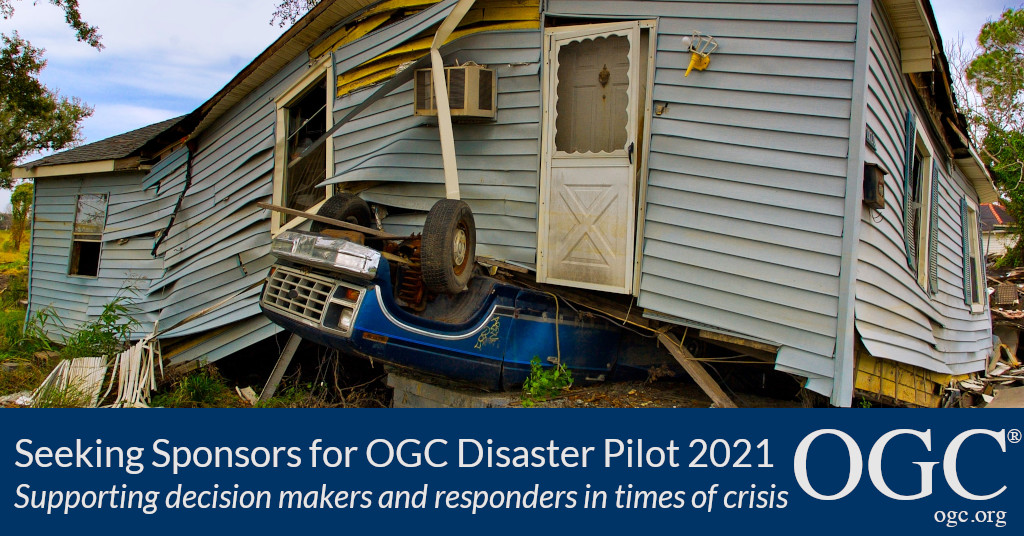
OGC Disaster Pilot 2021 will prototype and demonstrate end-to-end capabilities that integrate OGC standards, data, services, and state-of-the-art technologies to support decision makers and responders in times of crisis

The Open Geospatial Consortium (OGC) is seeking additional sponsors for the OGC Disaster Pilot 2021, building on the past year's very successful Disaster Resilience Pilot. The 2021 Pilot, currently sponsored by OGC Members USGS, NASA, and AWS, in collaboration with AmeriGEO, will improve the ability of key decision makers and responders to discover, manage, access, qualify, share, and exploit location-based information in support of disaster preparedness & response and multi-hazard risk analysis.
The OGC Disaster Pilot will demonstrate end-to-end capabilities that integrate OGC standards, data, services, and state-of-the-art technologies – including Machine Learning/Artificial Intelligence (ML/AI), Applications-to-the-Data cloud technology, Analysis Ready Data (ARD), Earth Observation curation & processing, geo-enabled edge computing, dynamically parameterized simulation models, GeoPackage for offline use, portrayal frameworks for consistent visualization, and more – into solutions that facilitate disaster response. Further details of the Pilot scope and vision can be found in Prospectus, while the OGC website provides current Pilot news and information.
The Pilot will uncover industry capacities and capabilities and serve as an accelerated market research activity, while at the same time demonstrating the integration potential native to OGC Innovation Program activities. Pilot sponsors will have the opportunity to provide additional inputs into the design of the Disaster Pilot 2021 that address their particular concerns, requirements, and objectives.
Here at the end of 2020, we can go to the Moon and to Mars, government agencies worldwide are producing huge streams of observation data, industry is innovating with remarkable analytics and AI tools – and yet common disasters like disease, flooding, and wildfires are still creating almost unimaginable social and economic impacts. What is missing?
A critical component is that these amazing systems still don't talk to each other. The whole is less than – not greater than – the sum of the parts. With the OGC Disaster Pilot 2021, the response community has the opportunity to put the puzzle pieces together that connect the right players from the data providers all the way to the first responders and the decision makers and everything in between, forming a pattern that can adapt to any disaster, any region, any combination of data sources and tools.
What OGC and its industry, government and academic members do is to make it easier and faster to fit those puzzle pieces to the pattern when needed, because the immense array of complex combinations of technological, architectural, standardization, and operational requirements have been rigorously tested and documented in initiatives like the previous OGC Disaster Resilience Pilot. It is both essential and central to the OGC mission.
The Pilot will build upon the knowledge gained during the OGC Disasters Resilience Pilot and Disasters Interoperability Concept Development Study, particularly regarding flooding and landslides and will work directly with stakeholders in an operationally realistic scenario. Standards-based interoperability will be used to improve the delivery of geospatial information in support of disaster/multi-hazard planning & response, including short- to long-term monitoring, analysis, and assessment.
The Disaster Pilot will be conducted under OGC's Innovation Program, a collaborative, agile, and hands-on prototyping and engineering environment where sponsors and OGC members come together to address location interoperability challenges while validating international open standards. Watch this short video on how OGC's Innovation Program can benefit your organization.
If you are interested in joining USGS, NASA, AWS, and AmeriGEO as sponsors and supporters of this critical opportunity to shape collaborative disaster management capabilities, please download the OGC Disaster Pilot Call For Sponsors or contact OGC via the OGC Innovation Program contact form.
About OGC
The Open Geospatial Consortium (OGC) is an international consortium of more than 500 businesses, government agencies, research organizations, and universities driven to make geospatial (location) information and services FAIR – Findable, Accessible, Interoperable, and Reusable.
OGC's member-driven consensus process creates royalty free, publicly available geospatial standards. Existing at the cutting edge, OGC actively analyzes and anticipates emerging tech trends, and runs an agile, collaborative Research and Development (R&D) lab that builds and tests innovative prototype solutions to members' use cases.
OGC members together form a global forum of experts and communities that use location to connect people with technology and improve decision-making at all levels. OGC is committed to creating a sustainable future for us, our children, and future generations.
Visit ogc.org for more info on our work.
“