CoverageJSON has been demonstrated to be an effective, efficient format, friendly to web and application developers.

The Open Geospatial Consortium (OGC) is considering CoverageJSON for adoption as an official OGC Community Standard. A new Work Item Justification to begin the Community Standard endorsement process is available for public comment. Comments are due by July 25, 2021.
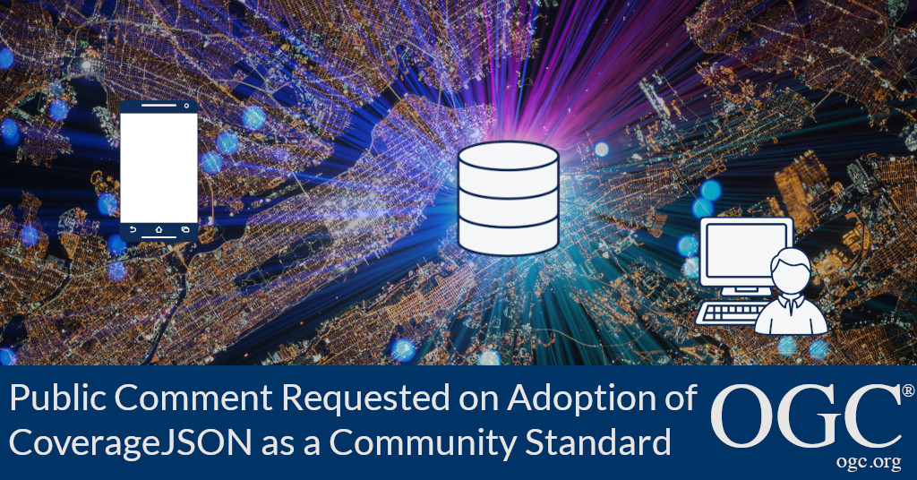
CoverageJSON is a simple, human- and machine-readable format for publishing spatio-temporal data to the Web. It is used for encoding coverage data such as multi-dimensional grids, time series, and vertical profiles, distinguished by the geometry of their spatio-temporal domain.
The CoverageJSON format supports the efficient download of useful quantities of data from datastores to lightweight clients, such as browsers and mobile applications. It allows local manipulation of the data in a format familiar to, and popular with, web developers, and that is readily usable by e.g. science researchers. It uses linked-data (JSON-LD) to reduce data payload volumes.
CoverageJSON was developed in 2015 at the University of Reading, as part of MELODIES (Maximizing the Exploitation of Linked Open Data in Enterprise and Science), a EU Framework 7 project, inspired by a demonstration by Joan Masó of CREAF.
The project identified a gap in the capabilities available to the developers of websites and apps who wish to consume scientific data. Existing data formats (e.g. NetCDF, HDF, GRIB, XML) were either highly complex or inappropriate to be used in these environments. Therefore the CoverageJSON format was developed for encoding many kinds of scientific and Earth Observation data in a manner that is friendly for web and app developers.
CoverageJSON is based on the concepts and standards from ISO and OGC, and the specification is published openly on the web. The specification is supported by a Cookbook, plus a suite of open source tools for producing and consuming the format. Great interest in the format has already been shown by the user community, who are also encouraged to contribute to its development via GitHub.
The candidate CoverageJSON Community Standard Work Item Justification is available for review and comment on the OGC Portal. Comments are due by July 25, 2021, and should be submitted via the method outlined on the CoverageJSON Community Standard Work Item Justification's public comment request page.
About OGC
The Open Geospatial Consortium (OGC) is an international consortium of more than 500 businesses, government agencies, research organizations, and universities driven to make geospatial (location) information and services FAIR – Findable, Accessible, Interoperable, and Reusable.
OGC's member-driven consensus process creates royalty free, publicly available geospatial standards. Existing at the cutting edge, OGC actively analyzes and anticipates emerging tech trends, and runs an agile, collaborative Research and Development (R&D) lab that builds and tests innovative prototype solutions to members' use cases.
OGC members together form a global forum of experts and communities that use location to connect people with technology and improve decision-making at all levels. OGC is committed to creating a sustainable future for us, our children, and future generations.
Visit ogc.org for more info on our work.
“