May 14, 2021

OGC CEO Dr Nadine Alameh Appointed to Board of UN-GGIM Private Sector Network

The United Nations Committee of Experts on Global Geospatial Information Management Private Sector Network provides a conduit for the private sector to work with UN Member States on global geospatial initiatives.
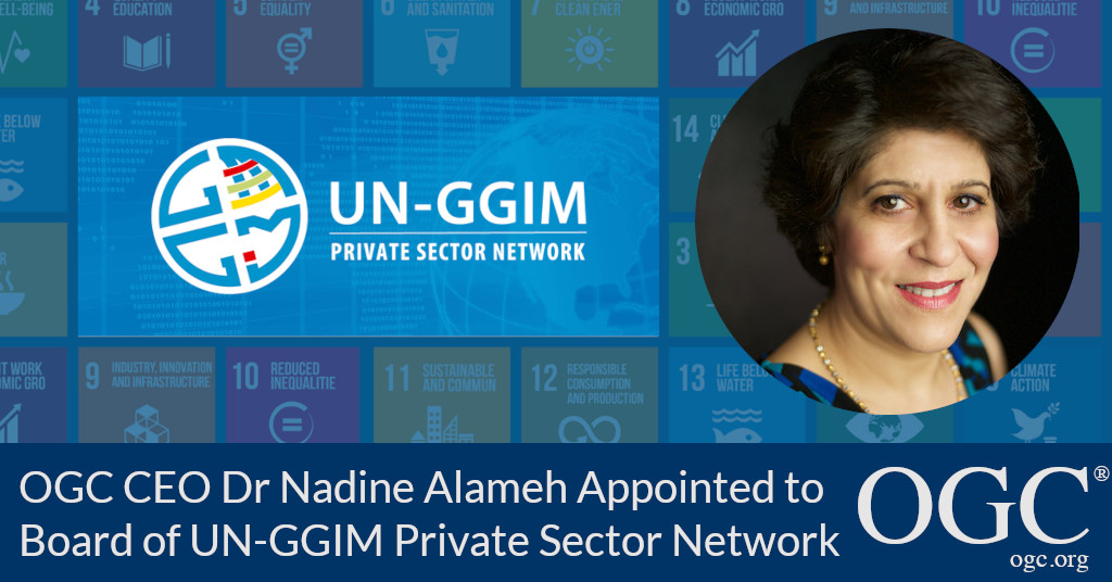
Banner announcing appointment of Nadine Alameh to UN-GGIM PSN Board

The Open Geospatial Consortium (OGC) is excited to announce that OGC CEO, Dr. Nadine Alameh, has been appointed to the Board of the United Nations Committee of Experts on Global Geospatial Information Management (UN-GGIM) Private Sector Network (PSN).

The UN-GGIM PSN was established in 2016 with the intent to help the private sector better work with UN Member States in order to achieve global geospatial initiatives. The PSN facilitates an ongoing dialogue for collaboration between and amongst members of UN-GGIM and participants of the PSN to develop, build, and extend the world's capacity to benefit from geospatial information, by enabling countries to build capacity in geospatial information, technologies, and services. Recognizing the expertise of the private sector, the PSN creates opportunities for this expertise to assist the UN-GGIM in developing policies, processes, practices, capacities, and recommendations for geospatial information infrastructure at national, regional, and global levels.

UN-GGIM PSN Chair, Sanjay Kumar, commented “The UN-GGIM PSN is excited to welcome Nadine Alameh to the Board. Nadine's vast knowledge, experience, and highly professional commitment towards the geospatial profession and community will be highly useful in serving and shaping PSN and its role in the UN-GGIM Process. Standards are a very important component of global geospatial information management and the private sector plays a critical role in the development and maintenance of standards.”

Participation in the UN-GGIM PSN is free and open globally to all private sector organisations and related associations, enabling such entities to contribute to and expand the global policy capabilities that develop the tools and services to enable geospatial information to be mainstreamed within and across countries.


About UN-GGIM PSN
Based on the contributions by academia and industry for the previous five years, at its sixth session, convened in New York in August 2016, the UN-GGIM Committee of Experts discussed the proposal to endorse the establishment of the UN-GGIM Academic and Private Sector Networks. The Vision of the UN-GGIM PSN is “An active Private Sector Network (PSN) of representatives working in a mutually beneficial collaboration with the members of UN-GGIM to play a leading role in setting the agenda for the development of global geospatial information and to promote its use to address key global challenges, enable citizen services and support the initiatives of the United Nations, particularly the global development agenda.”
Visit unggim-psn.org for more info.

About OGC
The Open Geospatial Consortium (OGC) is an international consortium of more than 500 businesses, government agencies, research organizations, and universities driven to make geospatial (location) information and services FAIR – Findable, Accessible, Interoperable, and Reusable.
OGC's member-driven consensus process creates royalty free, publicly available geospatial standards. Existing at the cutting edge, OGC actively analyzes and anticipates emerging tech trends, and runs an agile, collaborative Research and Development (R&D) lab that builds and tests innovative prototype solutions to members' use cases.
OGC members together form a global forum of experts and communities that use location to connect people with technology and improve decision-making at all levels. OGC is committed to creating a sustainable future for us, our children, and future generations.
Visit ogc.org for more info on our work.

About OGC

About OGC
The Open Geospatial Consortium (OGC) is a collective problem-solving community of experts from more than 500 businesses, government agencies, research organizations, and universities driven to make geospatial (location) information and services FAIR - Findable, Accessible, Interoperable, and Reusable.

The global OGC Community engages in a mix of activities related to location-based technologies: developing consensus-based open standards and best-practice; collaborating on agile innovation initiatives; engaging in community meetings, events, and workshops; and more.

OGC’s unique standards development process moves at the pace of innovation, with constant input from technology forecasting, practical prototyping, real-world testing, and community engagement.

OGC bridges disparate sectors, domains, and technology trends, and encourages the cross-pollination of ideas between different communities of practice to improve decision-making at all levels. OGC is committed to creating an inclusive and sustainable future.

Visit ogc.org for more info on our work.

May 14, 2021

OGC CEO Dr Nadine Alameh Appointed to Board of UN-GGIM Private Sector Network

Subscribe to our Press Release

Subscribe here to receive future Press Releases by email: Subscribe
 

Contact: 

info [at] ogc.org

The United Nations Committee of Experts on Global Geospatial Information Management Private Sector Network provides a conduit for the private sector to work with UN Member States on global geospatial initiatives.

The Open Geospatial Consortium (OGC) is excited to announce that OGC CEO, Dr. Nadine Alameh, has been appointed to the Board of the United Nations Committee of Experts on Global Geospatial Information Management (UN-GGIM) Private Sector Network (PSN).

The UN-GGIM PSN was established in 2016 with the intent to help the private sector better work with UN Member States in order to achieve global geospatial initiatives. The PSN facilitates an ongoing dialogue for collaboration between and amongst members of UN-GGIM and participants of the PSN to develop, build, and extend the world’s capacity to benefit from geospatial information, by enabling countries to build capacity in geospatial information, technologies, and services. Recognizing the expertise of the private sector, the PSN creates opportunities for this expertise to assist the UN-GGIM in developing policies, processes, practices, capacities, and recommendations for geospatial information infrastructure at national, regional, and global levels.

UN-GGIM PSN Chair, Sanjay Kumar, commented “The UN-GGIM PSN is excited to welcome Nadine Alameh to the Board. Nadine’s vast knowledge, experience, and highly professional commitment towards the geospatial profession and community will be highly useful in serving and shaping PSN and its role in the UN-GGIM Process. Standards are a very important component of global geospatial information management and the private sector plays a critical role in the development and maintenance of standards.”

Participation in the UN-GGIM PSN is free and open globally to all private sector organisations and related associations, enabling such entities to contribute to and expand the global policy capabilities that develop the tools and services to enable geospatial information to be mainstreamed within and across countries.


About UN-GGIM PSN
Based on the contributions by academia and industry for the previous five years, at its sixth session, convened in New York in August 2016, the UN-GGIM Committee of Experts discussed the proposal to endorse the establishment of the UN-GGIM Academic and Private Sector Networks. The Vision of the UN-GGIM PSN is “An active Private Sector Network (PSN) of representatives working in a mutually beneficial collaboration with the members of UN-GGIM to play a leading role in setting the agenda for the development of global geospatial information and to promote its use to address key global challenges, enable citizen services and support the initiatives of the United Nations, particularly the global development agenda.”
Visit unggim-psn.org for more info.

About OGC
The Open Geospatial Consortium (OGC) is an international consortium of more than 500 businesses, government agencies, research organizations, and universities driven to make geospatial (location) information and services FAIR – Findable, Accessible, Interoperable, and Reusable.
OGC’s member-driven consensus process creates royalty free, publicly available geospatial standards. Existing at the cutting edge, OGC actively analyzes and anticipates emerging tech trends, and runs an agile, collaborative Research and Development (R&D) lab that builds and tests innovative prototype solutions to members’ use cases.
OGC members together form a global forum of experts and communities that use location to connect people with technology and improve decision-making at all levels. OGC is committed to creating a sustainable future for us, our children, and future generations.
Visit ogc.org for more info on our work.

About OGC

About OGC
The Open Geospatial Consortium (OGC) is a collective problem-solving community of experts from more than 500 businesses, government agencies, research organizations, and universities driven to make geospatial (location) information and services FAIR - Findable, Accessible, Interoperable, and Reusable.

The global OGC Community engages in a mix of activities related to location-based technologies: developing consensus-based open standards and best-practice; collaborating on agile innovation initiatives; engaging in community meetings, events, and workshops; and more.

OGC’s unique standards development process moves at the pace of innovation, with constant input from technology forecasting, practical prototyping, real-world testing, and community engagement.

OGC bridges disparate sectors, domains, and technology trends, and encourages the cross-pollination of ideas between different communities of practice to improve decision-making at all levels. OGC is committed to creating an inclusive and sustainable future.

Visit ogc.org for more info on our work.

Sign up today

Receive the latest news on OGC.

© 2024 Open Geospatial Consortium. All Rights Reserved.

Become a memberBecome a member