


Subscribe to our Press Release
Subscribe here to receive future Press Releases by email: Subscribe
info [at] ogc.org
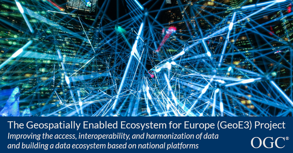
3 year EU-funded project will improve access, interoperability, and harmonization of data, and build a data ecosystem based on national platforms
The Open Geospatial Consortium (OGC) announces its participation in the EU-funded Geospatially Enabled Ecosystem for Europe (GeoE3) project.
The three-year project, part of the Connecting Europe Facility, has the following goals:
- Better access and interoperability of Geospatial data and other data.
- Usability of metadata information – e.g. dashboards.
- Integration with other data (e.g. statistics, weather data).
- Accessibility through the European Data Portal (via DCAT.AP).
- Dynamic harmonisation of geospatial data based on use cases and new APIs, including the OGC APIs.
- Example Cloud Platform that will demonstrate use cases and will be used for national platform implementations through different APIs and tools.
- Build an ecosystem based on national platforms.
- Supported through eLearning videos and Innovation events.
The project began earlier this month with 12 partners from across Europe:
- National Land Survey of Finland
- Finnish Meteorological Institute
- Statistics Finland
- Spatineo, Finland
- Norwegian Mapping Authority
- Cadastre, Land Registry and Mapping Agency, The Netherlands
- Centro Nacional De Información Geográfica, Spain
- Estonian Land Board
- Information Technology Center of the Ministry of the Environment, Estonia
- Aventi Intelligent Communication, Norway
- Direccion General Del Catastro, Spain
- The Open Geospatial Consortium (OGC)
The OGC Innovation Program is excited to be part of this important project, and will present an overview at the next OGC Member Meeting in December 2020.
To learn more about OGC’s involvement in GeoE3 and other OGC news, including projects run by the OGC Innovation Program, sign up to the OGC newsletter here.
About OGC
The Open Geospatial Consortium (OGC) is an international consortium of more than 500 businesses, government agencies, research organizations, and universities driven to make geospatial (location) information and services FAIR – Findable, Accessible, Interoperable, and Reusable.
OGC’s member-driven consensus process creates royalty free, publicly available geospatial standards. Existing at the cutting edge, OGC actively analyzes and anticipates emerging tech trends, and runs an agile, collaborative Research and Development (R&D) lab that builds and tests innovative prototype solutions to members’ use cases.
OGC members together form a global forum of experts and communities that use location to connect people with technology and improve decision-making at all levels. OGC is committed to creating a sustainable future for us, our children, and future generations.
Visit ogc.org for more info on our work.

