Workshops will bring together experts in browser development, Web standards, and Web mapping client tools & applications to explore the potential of standardized maps for the Web.

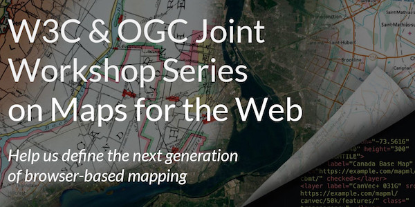
The Open Geospatial Consortium (OGC) and the World Wide Web Consortium (W3C) invite interested stakeholders to participate in a W3C/OGC Joint Workshop Series on Maps for the Web, in September & October, 2020.
Contributors are needed to help build new web standards for maps in the browser. What are the risks? What are the potentials? What do we need to standardize? Help us define the next generation of mapping on the Web. Proposals to present or lead sessions are due by June 30, 2020.
These workshops will bring together experts in browser development, Web standards, and Web mapping client tools & applications to explore the potential of standardized maps for the Web. The series will form a virtual meeting of developers, cartographers, policy makers, and other people with a stake in the future of Web standards relating to the display and use of maps on the Web.
The organizers are now issuing a call for submissions from interested participants and presenters. Participation is free and open to the public, regardless of W3C or OGC membership.
The scope of the workshop series is the standardization of maps that are presented to end users — usually in an explorable, interactive viewer — within websites and applications built using the Web platform. Within this scope, the workshops will include discussions of accessibility, internationalization, security, privacy, technology, and performance.
All participants are encouraged to contribute to the workshop discussions. In addition, we welcome proposals from those interested in the following contributions:
- Making a presentation (15 minutes) or lightning talk (<5 minutes).
- Leading a hack session around a web mapping tool or map data source.
- Submitting a written position statement in advance of the workshops (as an individual or on behalf of an organization).
- Sponsoring the workshop series.
Proposals to present or lead sessions are due by June 30, 2020. The programming committee will review proposals to select the most relevant topics and diverse perspectives, and will generate an agenda of themed workshop sessions based on the suggested topics.
Presentations, demos, and panel sessions will be conducted as video-conferences (or optionally pre-recorded video presentations), posted online for asynchronous viewing. Presentations will be grouped into themes, with one theme posted online per day over two weeks. Participants will then be asked to contribute to online discussion of the presentations and the issues they raised. Collaborative breakout and hack sessions, using video or text chat, will also be scheduled. Conclusions from the workshop discussions will be summarized in a report and posted publicly.
Participants in this workshop series, as in all W3C activities, are expected to follow the W3C code of ethics and professional conduct.
For more information on the workshop, or to register or submit a proposal, please visit w3.org/2020/maps.
About W3C
W3C is a voluntary standards consortium that convenes companies and communities to help structure productive discussions around existing and emerging technologies, and offers a Royalty-Free patent framework for Web Recommendations. W3C develops work based on the priorities of our members and our community. Visit w3c.org for more information.
About OGC
The Open Geospatial Consortium (OGC) is an international consortium of more than 500 businesses, government agencies, research organizations, and universities driven to make geospatial (location) information and services FAIR – Findable, Accessible, Interoperable, and Reusable.
OGC's member-driven consensus process creates royalty free, publicly available geospatial standards. Existing at the cutting edge, OGC actively analyzes and anticipates emerging tech trends, and runs an agile, collaborative Research and Development (R&D) lab that builds and tests innovative prototype solutions to members' use cases.
OGC members together form a global forum of experts and communities that use location to connect people with technology and improve decision-making at all levels. OGC is committed to creating a sustainable future for us, our children, and future generations.
Visit ogc.org for more info on our work.
“