October 15, 2020

OGC membership approves new standard: Symbology Conceptual Model: Core Part

The “SymCore” standard will increase consistency between different maps by defining agreed upon symbology rules.
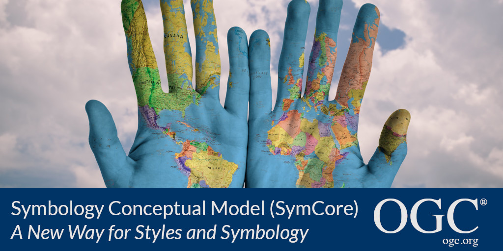
Banner announcing approval of SymCore standard: a new way for styles and symbology

The Open Geospatial Consortium (OGC) membership has approved the Symbology Conceptual Model: Core Part (SymCore) as a new OGC Standard.

The Symbology Conceptual Core Model (SymCore) is the basis for defining symbology rules for the portrayal of geographic data. SymCore is modular & extensible (one core model with many extensions), and encoding agnostic (one symbology model can have many encodings). The core model is designed to be extensible so that new capabilities can efficiently be defined and used.

The modular, extensible and agnostic characteristics contribute to a new approach to portrayal in order to:

  • Provide the flexibility required to achieve adequate cartographic styling while meeting the needs of a variety of information communities, for example aviation symbols, weather symbols, thematic maps, etc.; and
  • Achieve high level styling interoperability without encoding dependencies.

Existing OGC standards for styling and symbology can only be used with a few OGC standards such as an OGC Web Map Service, so a more general and portable symbology model is required for use across the OGC standards baseline. SymCore fulfills this requirement.

As with any OGC standard, the open Symbology Conceptual Core Model (SymCore) standard is free to download and implement. Interested parties can view and download the Symbology Conceptual Core Model (SymCore) Standard via ogc.org.

About OGC
The Open Geospatial Consortium (OGC) is an international consortium of more than 500 businesses, government agencies, research organizations, and universities driven to make geospatial (location) information and services FAIR – Findable, Accessible, Interoperable, and Reusable.
OGC's member-driven consensus process creates royalty free, publicly available geospatial standards. Existing at the cutting edge, OGC actively analyzes and anticipates emerging tech trends, and runs an agile, collaborative Research and Development (R&D) lab that builds and tests innovative prototype solutions to members' use cases.
OGC members together form a global forum of experts and communities that use location to connect people with technology and improve decision-making at all levels. OGC is committed to creating a sustainable future for us, our children, and future generations.
Visit ogc.org for more info on our work.

About OGC

About OGC
The Open Geospatial Consortium (OGC) is a collective problem-solving community of experts from more than 500 businesses, government agencies, research organizations, and universities driven to make geospatial (location) information and services FAIR - Findable, Accessible, Interoperable, and Reusable.

The global OGC Community engages in a mix of activities related to location-based technologies: developing consensus-based open standards and best-practice; collaborating on agile innovation initiatives; engaging in community meetings, events, and workshops; and more.

OGC’s unique standards development process moves at the pace of innovation, with constant input from technology forecasting, practical prototyping, real-world testing, and community engagement.

OGC bridges disparate sectors, domains, and technology trends, and encourages the cross-pollination of ideas between different communities of practice to improve decision-making at all levels. OGC is committed to creating an inclusive and sustainable future.

Visit ogc.org for more info on our work.

October 15, 2020

OGC membership approves new standard: Symbology Conceptual Model: Core Part

Subscribe to our Press Release

Subscribe here to receive future Press Releases by email: Subscribe
 

Contact: 

info [at] ogc.org

The “SymCore” standard will increase consistency between different maps by defining agreed upon symbology rules.

The Open Geospatial Consortium (OGC) membership has approved the Symbology Conceptual Model: Core Part (SymCore) as a new OGC Standard.

The Symbology Conceptual Core Model (SymCore) is the basis for defining symbology rules for the portrayal of geographic data. SymCore is modular & extensible (one core model with many extensions), and encoding agnostic (one symbology model can have many encodings). The core model is designed to be extensible so that new capabilities can efficiently be defined and used.

The modular, extensible and agnostic characteristics contribute to a new approach to portrayal in order to:

  • Provide the flexibility required to achieve adequate cartographic styling while meeting the needs of a variety of information communities, for example aviation symbols, weather symbols, thematic maps, etc.; and
  • Achieve high level styling interoperability without encoding dependencies.

Existing OGC standards for styling and symbology can only be used with a few OGC standards such as an OGC Web Map Service, so a more general and portable symbology model is required for use across the OGC standards baseline. SymCore fulfills this requirement.

As with any OGC standard, the open Symbology Conceptual Core Model (SymCore) standard is free to download and implement. Interested parties can view and download the Symbology Conceptual Core Model (SymCore) Standard via ogc.org.

About OGC
The Open Geospatial Consortium (OGC) is an international consortium of more than 500 businesses, government agencies, research organizations, and universities driven to make geospatial (location) information and services FAIR – Findable, Accessible, Interoperable, and Reusable.
OGC’s member-driven consensus process creates royalty free, publicly available geospatial standards. Existing at the cutting edge, OGC actively analyzes and anticipates emerging tech trends, and runs an agile, collaborative Research and Development (R&D) lab that builds and tests innovative prototype solutions to members’ use cases.
OGC members together form a global forum of experts and communities that use location to connect people with technology and improve decision-making at all levels. OGC is committed to creating a sustainable future for us, our children, and future generations.
Visit ogc.org for more info on our work.

About OGC

About OGC
The Open Geospatial Consortium (OGC) is a collective problem-solving community of experts from more than 500 businesses, government agencies, research organizations, and universities driven to make geospatial (location) information and services FAIR - Findable, Accessible, Interoperable, and Reusable.

The global OGC Community engages in a mix of activities related to location-based technologies: developing consensus-based open standards and best-practice; collaborating on agile innovation initiatives; engaging in community meetings, events, and workshops; and more.

OGC’s unique standards development process moves at the pace of innovation, with constant input from technology forecasting, practical prototyping, real-world testing, and community engagement.

OGC bridges disparate sectors, domains, and technology trends, and encourages the cross-pollination of ideas between different communities of practice to improve decision-making at all levels. OGC is committed to creating an inclusive and sustainable future.

Visit ogc.org for more info on our work.

Sign up today

Receive the latest news on OGC.

© 2024 Open Geospatial Consortium. All Rights Reserved.

Become a memberBecome a member