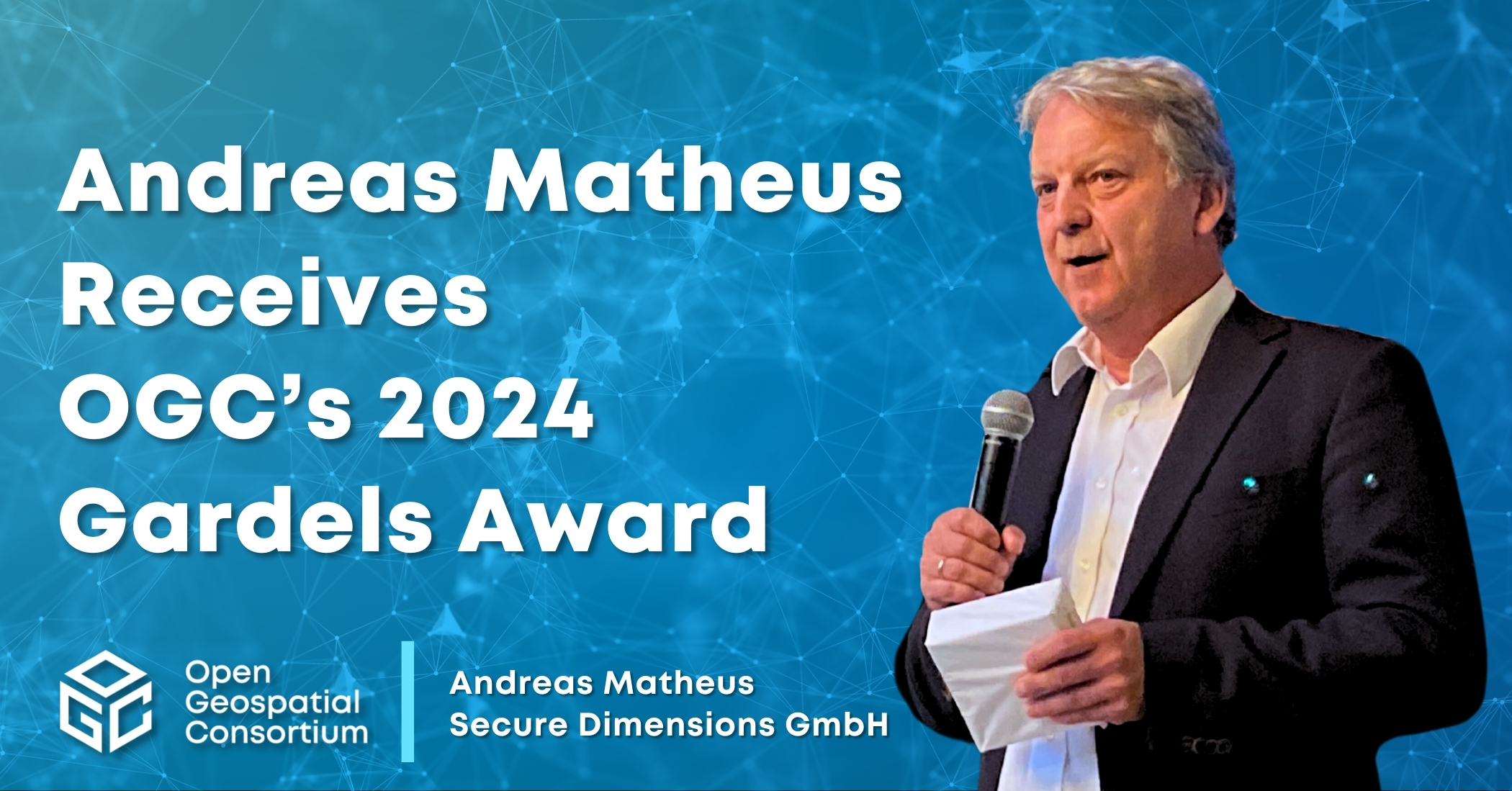
OGC announces Christy Monaco as new Chief Operating Officer
As OGC’s COO, Christy will use her experience with federal agencies, partnership-building, event management, and member success to help grow and shape the Consortium.


The OGC Uninhabited Systems (UxS) DWG is chartered to identify geospatial standards requirements and use cases for all aspects of aerial, underwater, and other unmanned vehicle operations.
The UXS DWG is tasked with exploring technological and policy issues in the realm of geospatial information and technology specific to unmanned systems. Its mission includes documenting the use of unmanned systems technology in geospatial data collection and identifying geospatial aspects of unmanned systems operations to support the adoption or development of best practices and standards. Additionally, the UXS DWG serves as a forum to discuss these topics, assess the need for new standards, and address interoperability concerns with the OGC Technical Committee.
The Unmanned Systems (UXS) domain is experiencing rapid growth and diversification, bringing together stakeholders from a variety of practices, many of which are emerging or not primarily geospatial. Large Unmanned Aerial Vehicles (UAVs) have a history of defense, intelligence, surveillance, reconnaissance, and remote sensing uses, but today’s UAVs vary greatly, encompassing both large, jet-powered aircraft and small drones. Similarly, Unmanned Underwater Vehicles (UUVs) have a long operational history, with recent advancements greatly enhancing their capabilities and autonomy. These unmanned systems are equipped with increasingly sophisticated and varied payloads, ranging from high-resolution optical, multispectral, and hyperspectral sensors to simpler cameras, Full Motion Video (FMV), Wide Area Motion Imagery (WAMI), infrared and thermal sensors, LiDAR, RADAR, and various radio frequency (RF) sensors for UAVs. For UUVs, payloads include multibeam and side-scan SONAR, advanced camera systems, as well as sensors for physical properties and water chemistry, and even physical sampling capabilities.
This diversity has led to a complex marketplace around vehicles, payloads, and the data produced, necessitating a stronger push for standardization to enhance UXS utilization. The proposed Domain Working Group (DWG) is considering challenges such as the lack of a universal format for mission planning data exchange, the variable quality of contextual base maps for missions, and communication of operational data including device position and orientation. Data acquisition issues include metadata tagging and supported data formats, while data exchange must consider the requirements for oblique observations in metadata standards. Data processing challenges encompass mosaicking of multi-path acquisitions, handling temporal artifacts for data consistency, and the need for archival data formats that enable interoperability for mission replay and data repurposing for additional uses. These complexities underscore the importance of the DWG’s role in addressing the burgeoning needs for standardization within the UXS domain.
The DWG is focused on several key activities to enhance the application and development of standards within the unmanned systems field. The group will first discuss and pinpoint primary use cases for UXS that could significantly benefit from the adoption of OGC standards. It will then work on identifying specific requirements within the UXS domain that need to be addressed in current or future OGC standards. Additionally, the DWG will look into other practice areas within the OGC community that either already support or have the potential to be impacted by UXS technology. Finally, the DWG will select UXS-related use cases and workflows that are suitable for Interoperability Experiments or Testbeds, which will further the integration of UXS technology within the geospatial community.
The DWG collaborates with other OGC working groups as well as external organizations.
Working Group Chairs: Marcus Alzona (Maryland Department of Assessments and Taxation), Teodor Hanchevici (Kongsberg Defence & Aerospace AS), Don Sullivan (US National Aeronautics and Space Administration (NASA))

Receive the latest news on OGC.
© 2024 Open Geospatial Consortium. All Rights Reserved.