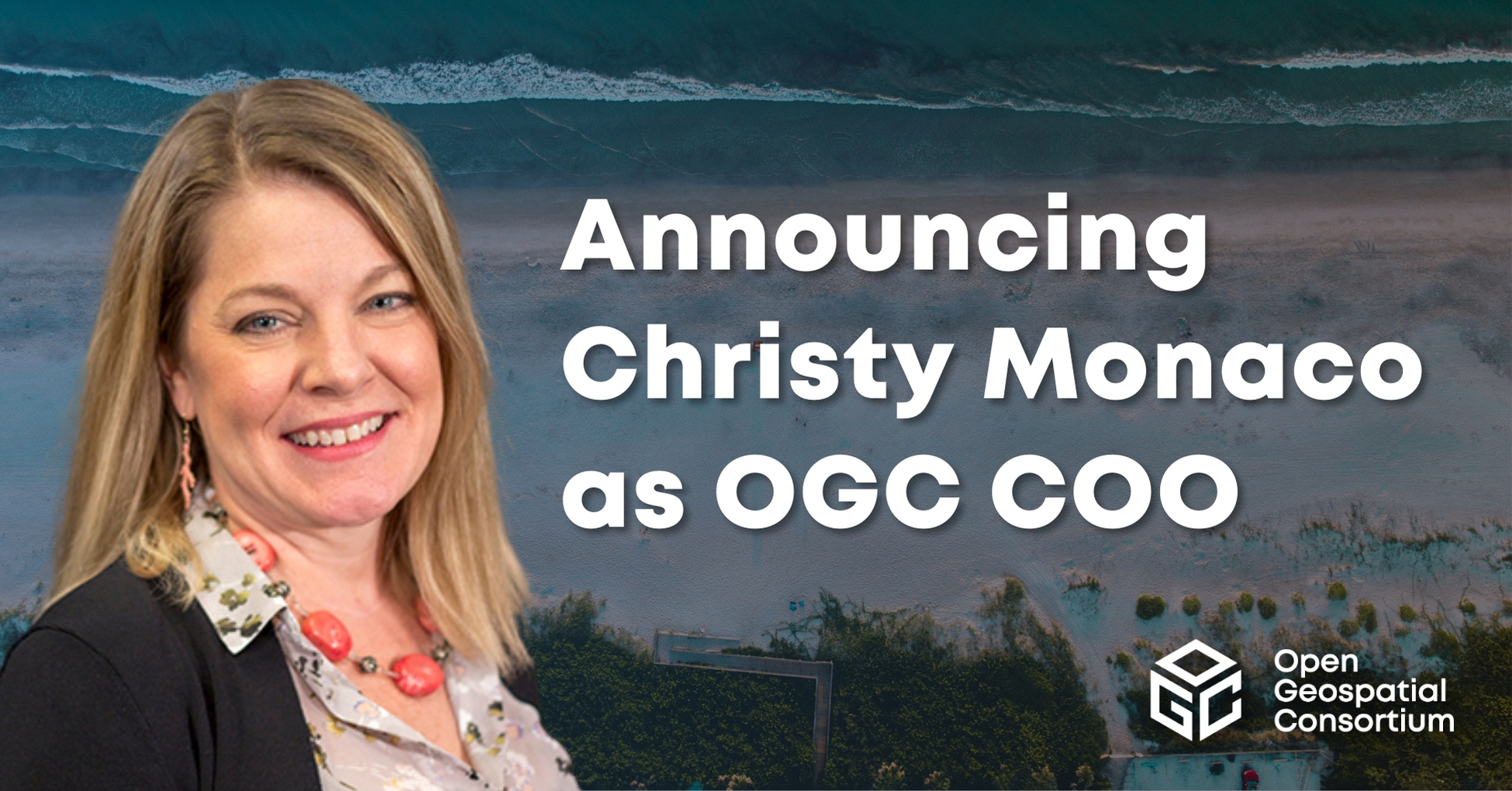
OGC announces Christy Monaco as new Chief Operating Officer
As OGC’s COO, Christy will use her experience with federal agencies, partnership-building, event management, and member success to help grow and shape the Consortium.


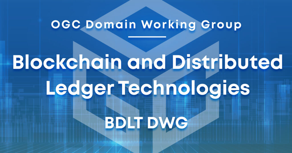
The Blockchain and Distributed Ledger Technologies Domain Working Group (DWG) will concern itself with technology issues related to blockchain and other DLT so that geospatial data and services can be more effectively represented in DLT, and the means by which those issues are appropriately factored into the Open Geospatial Consortium (OGC) standards development process.
The Working Group has a mission to advance the collective understanding of the OGC community in the realms of distributed ledger technologies, including their potential use cases, applications, and the opportunities they present for geospatial standardization. The DWG will also evaluate how these emerging technologies impact the current baseline of OGC standards. Serving as a specialized forum within OGC, the DWG’s role is to articulate and refine interoperability issues related to distributed ledger technologies for consideration by the Technical Committee. Moreover, the group will act as a conduit, facilitating liaison efforts with other pertinent industry bodies, government entities, independent and research organizations, as well as standards development groups operating within the sphere of distributed ledger technologies.
Currently, the landscape of Distributed Ledger Technology (DLT) services and networks is rich and varied, but it lacks a standardized approach for encoding geospatial information, such as locations, coordinates, and coordinate reference systems. As a result, different DLTs have adopted their own ad-hoc methods for geo-encoding, potentially leading to interoperability issues across various networks. Such limitations in interoperability could result in higher costs for users due to reduced data exchange options and an increased risk of information loss when transitioning between systems.
The most prominent use of blockchain technology to date has been within the financial sector, exemplified by cryptocurrencies like Bitcoin and Ethereum. However, blockchain’s utility is increasingly recognized in various non-financial sectors, including land registration and legal systems, where the location is often a critical factor. For instance, the specific location of a transaction can influence tax implications, the delineation of property boundaries is fundamental for land registration, and the location of evidence can be crucial in legal proceedings. In response to the growing significance of location in blockchain applications, the OGC has commenced a comprehensive review of DLT and blockchain. This initiative is part of the OGC Technology Trends activity, established to continuously analyze emerging tech trends and their potential impact on OGC standards. A discussion paper (OGC 18-041r1), aimed at enhancing OGC’s comprehension of blockchain and DLT, was sanctioned during the OGC’s Technical Committee meeting in June 2018 in Fort Collins, marking a significant step toward integrating geospatial standards into the fabric of distributed ledger technologies.
The establishment of the Blockchain and Distributed Ledger Technologies Domain Working Group (DWG) aims to tackle the geospatial interoperability challenges prevalent within the blockchain and broader DLT communities. The DWG will act as a platform to steer discussions around various requirements, such as the exchange methods and encodings in blockchain records, and the architectures needed to ensure that location-referenced data adhering to open standards is compatible within blockchain and other DLT frameworks. The group’s initial undertakings will include identifying and defining relevant use cases, examining case studies on interoperability between Blockchain and OGC Service Architecture, and addressing encryption and security implications inherent to blockchain and other DLTs. The group will delve into issues surrounding Trust and Proof-of-Location, investigate the application of Smart Contracts technology, and pinpoint areas where standardization is necessary, potentially forming Standards Working Groups to address any identified gaps in the OGC standards baseline. Additionally, the DWG will explore the feasibility of interoperability pilots and testbeds that could underpin geospatial architectures benefiting from blockchain and other DLT.
The group intends to form and sustain liaisons with relevant OGC Working Groups such as the the Security DWG and Smart Cities DWG, and also to engagement with other standards-developing organizations such as ISO TC-307.
Working Group Chairs: Marcus Alzona (Maryland Department of Assessments and Taxation), Andreas Matheus (Secure Dimensions GmbH).

Receive the latest news on OGC.
© 2024 Open Geospatial Consortium. All Rights Reserved.