Related Content: Marine
-
Blog article
The Vital Role of Undersea Cable Infrastructure and the Importance of Geospatial Standards
Undersea cables are the invisible lifelines of the global internet, yet they face growing threats—from accidents to sabotage. This article explores how geospatial standards from...

-
Partner event In-Person Meeting
Geo Connect Asia (GCA) 2025 celebrates its fifth year with an exhibition and an expanded programme of conferences, from April 9-10 at the Sands Expo...

-
Blog article
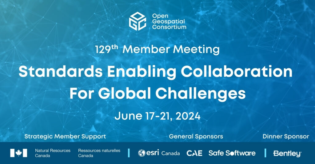
Standards Enabling Collaboration For Global Challenges
A preview of the 129th Member Meeting, to be held June 17-21 in Montreal, Canada.
-
Blog article
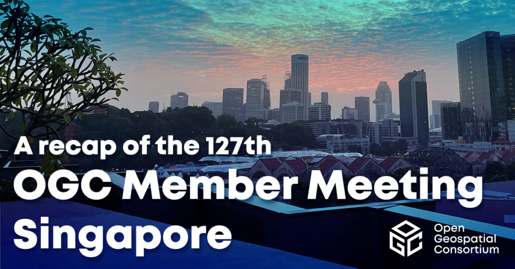
A recap of the 127th OGC Member Meeting, Singapore
Attendees spent the week discussing the latest geospatial innovations in areas such as GeoAI, Digital Twins, Data Quality, Intelligent Transport, connecting land & sea, and...
-
Blog article
Making The Data Count, Not Just Counting The Data
The UKHO’s Dr. Gerald J Wong explains how using the IGIF-(M)SDI Maturity Roadmap enables governments to better harness geospatial data that supports their nations’ socio-economic...

-
Announcement
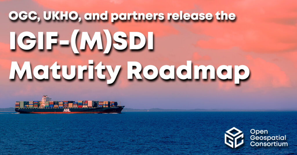
OGC, UKHO, and partners release the IGIF-(M)SDI Maturity Roadmap
New Roadmap seeks to advance and simplify efforts in Marine SDI and ensure their alignment with the UN-IGIF principles.
-
Blog article
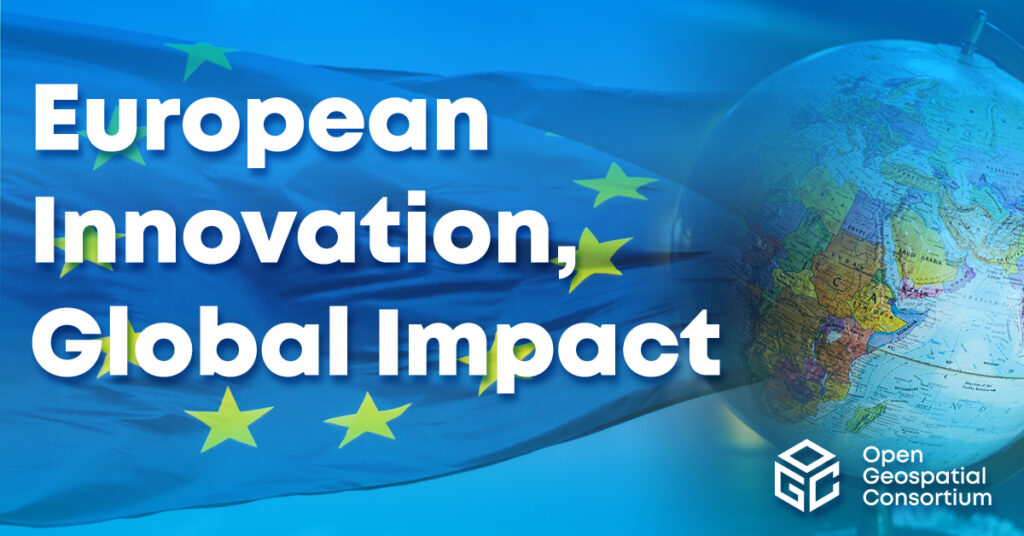
European Innovation, Global Impact
OGC's ongoing contributions to European research topics, driven by projects co-funded by the European Commission (EC), cover areas such as data spaces, climate, digital building...
-
Blog article
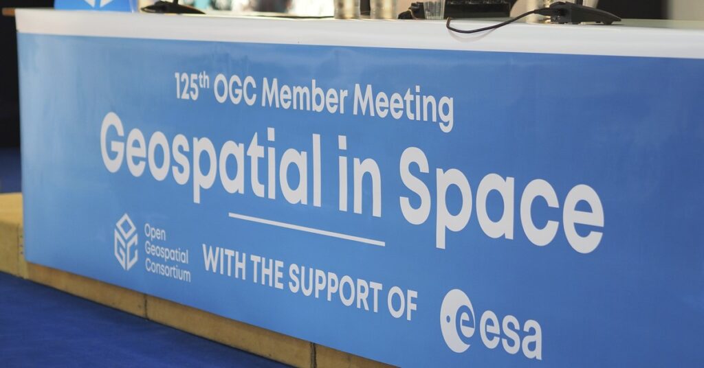
A recap of the 125th OGC Member Meeting, Frascati, Italy
With a theme of "Geospatial in Space" OGC's 125th Member Meeting saw 200+ experts converge on th ESA Centre for Earth Observation (ESRIN) in Frascati,...
-
Blog article
A recap of the 124th OGC Member Meeting, Singapore
From October 3-7 ‘22 (and a little bit beforehand), more than 100 experts from across industry, government, and academia converged on the Lifelong Learning Institute...

-
Blog article
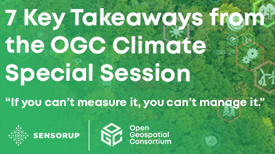
7 Key Takeaways from the OGC Climate Change Special Session
Article contributed by Steve Liang, SensorUp “If you can’t measure it, you can’t manage it.” The quote is originally from management consultant Peter Drucker and...
-
Blog article
Evolving Spatial Data Infrastructure
Spatial Data is distributed across users, tools, and regions for a variety of purposes via Spatial Data Infrastructure (SDI), but there are additional economic and...