
Welcome to the OGC Newsroom
You’ll find the latest announcements from OGC here.
Never miss an update! Subscribe to our bi-weekly newsletter for the latest news and events delivered right to your inbox.
News
OGC Announces Publication of OGC API – Connected Systems and Updates to Supporting Standards
The new Standard integrates dynamic data from systems such as sensors, drones, and satellites into modern geospatial applications using RESTful APIs.

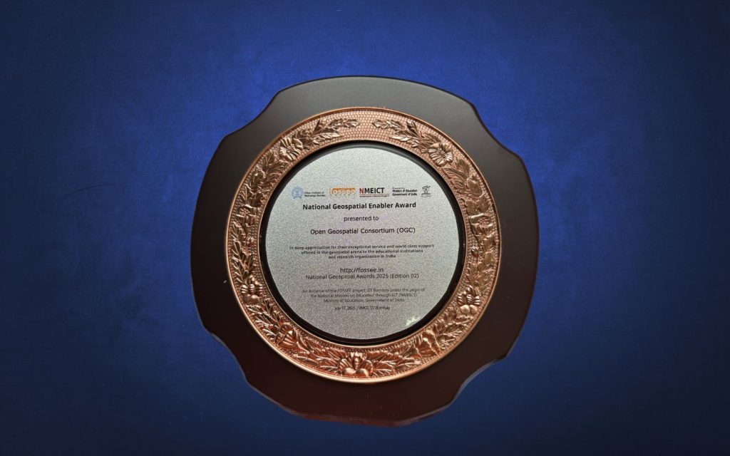
OGC Wins ‘Best Geospatial Enabler Award’ at FOSSEE National Geospatial Awards 2025
We are delighted to share that the Open Geospatial Consortium (OGC) has been honored with the ‘Best Geospatial Enabler Award’ at the National Geospatial Awards…
OGC Membership approves OGC API – Records – Part 1: Core as an official OGC Standard
The Open Geospatial Consortium (OGC) has officially approved OGC API – Records – Part 1: Core as a new standard. This modern, API-based specification enables…

Calls and Requests
OGC members can submit proposals for COSI Initiatives when a Call for Participation (CFP) or Sponsorship (CFS) is released. Members of the public are also invited to provide feedback on standards, charters, and other consensus-based activities.
The candidate Extension enables HTTP-based asynchronous messaging for SensorThings API using the W3C WebSub protocol.

The ModSpec defines a structured, modular approach for writing testable Standards by specifying clear requirements and recommendations to ensure consistent implementation and verifiable conformance

OGC proposes a standard to unify how vocabularies are accessed and shared, boosting semantic data interoperability.