
The OGC UxS Command and Control IE will test the suitability of a C&C data model for heterogeneous UxSs in a real-world environment.
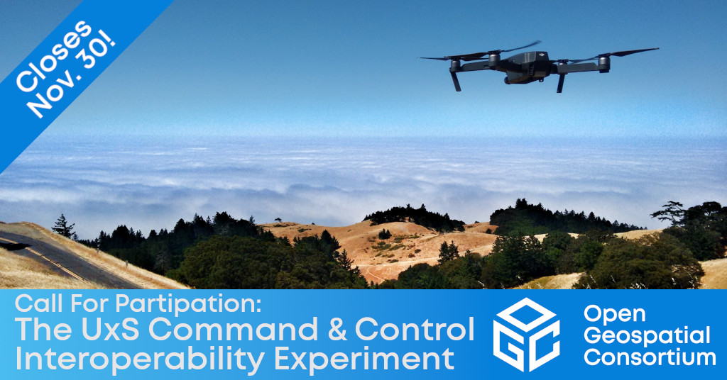
The Open Geospatial Consortium (OGC) has released the Call For Participation (CFP) to solicit proposals for the Uninhabited Systems Command and Control Interoperability Experiment (UxS C&C IE). The IE will test the suitability of a C&C data model for heterogeneous UxSs in a real-world environment. Proposal submissions close on November 30, 2021.
The OGC UxS C&C IE will build on a data model developed by Kongsberg Geospatial and partners under the Standards-based UxS Interoperability Test-bed (SUIT). SUIT is a command and control application agnostic to UxS autopilot systems and communication protocols. While typical commercial UxSs have software interfaces that are proprietary, the goal of this C&C experiment is to investigate the provisioning of a standardized command and control data model (telemetry, mission data, and others suggested by participants) and interfaces that allows swapping in and out of data with UxS.
The goal of the UxS C&C IE is to demonstrate the successful exchange of command and control information for multi-domain, multi-heterogenous vehicle use, and to assess whether the SUIT data model is suitable. Across several real-world experiments, the IE will consider two significant issues: if the data model is suitable for use in the scenarios, and what additional content is needed in a data model.
While the SUIT data model is a primary focus, the IE will additionally consider other standards and specifications, as well as other Command and Control practices from across the aviation community.
IE Participants will produce an OGC Engineering Report that summarizes the activities of the IE, describes the suitability of the tested data model for broader use, and provides a description of any gaps and what/if necessary further experimentation is required. The outcome of this IE may result in the charter of an OGC Standards Working Group to advance a UxS C&C Standard.
Participants and Observers of the OGC UxS C&C IE will join the IE's founding organizations: OGC Strategic Member NASA, Startup Member SensorUp, University Member University of Calgary, and Associate Member Kongsberg Geospatial.
The OGC UxS C&C IE will be conducted under OGC's Innovation Program, a collaborative, agile, and hands-on prototyping and engineering environment where sponsors and OGC members come together to address location interoperability challenges while validating international open standards. To learn about the benefits of sponsoring an OGC Innovation Program Initiative such as this, visit the OGC Innovation Program webpage, or watch this short video on how OGC's Innovation Program can benefit your organization.
For more information on the IE, including the Call for Participation, visit the UxS Command and Control Interoperability Experiment (UxS C&C IE) page on ogc.org. Proposal submissions close on November 30, 2021.
About OGC
The Open Geospatial Consortium (OGC) is a collective problem-solving community of experts from more than 500 businesses, government agencies, research organizations, and universities driven to make geospatial (location) information and services FAIR – Findable, Accessible, Interoperable, and Reusable.
The global OGC Community engages in a mix of activities related to location-based technologies: developing consensus-based open standards and best-practice; collaborating on agile innovation initiatives; engaging in community meetings, events, and workshops; and more.
OGC's unique standards development process moves at the pace of innovation, with constant input from technology forecasting, practical prototyping, real-world testing, and community engagement.
OGC bridges disparate sectors, domains, and technology trends, and encourages the cross-pollination of ideas between different communities of practice to improve decision-making at all levels. OGC is committed to creating an inclusive and sustainable future.
Visit ogc.org for more info on our work.
“