
OGC Research
Exploring the future of location. Together.
OGC Research is our collaborative lab for experimentation, testing, and innovation. It’s where members come together to explore what works today, evaluate what’s emerging, and shape the future of trusted, interoperable location systems.

Three core areas of focus:
The Future of
Geospatial
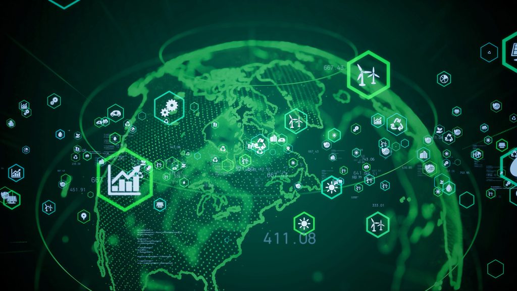
What’s next is already here. AI, automation, and commercial space exploration are reshaping how we move, plan, and respond—from smart cities and self-driving cars to lunar landings and global logistics.
OGC Research is where new ideas are tested, challenged, and proven—so the next generation of geospatial innovation is built on solid ground.
Integrity, Provenance, and Trust (IPT)
Because decisions are only as strong as the data behind them.
In an age of synthetic imagery, black-box AI, and information overload, trust in geospatial systems is non-negotiable.
We’re building the frameworks that make integrity, traceability, and reliability part of the foundation—so trust isn’t an afterthought, it’s a feature.
Purpose-Driven Domains & Standardization 3.0
Real-world problems need more than generic solutions.
From wildfire response to underground infrastructure, digital twins to planetary mapping—location challenges are specific, high-stakes, and evolving.
That’s why we’re rethinking how standards work.
Standardization 3.0 delivers modular tools, test environments, and reusable building blocks that accelerate innovation where it matters most.
Explore OGC RAINBOW
OGC RAINBOW is our linked-data registry for geospatial definitions and vocabularies, built to support semantic clarity, machine readability, and global interoperability. It provides stable, standards-based identifiers for concepts used across OGC standards and community projects.
Research Resources


Get Involved with OGC Research
Become a Sponsor
Fund innovation. Reduce risk. Accelerate solutions. As an OGC Research sponsor, you’ll help set the agenda—funding focused research and collaborative experimentation that moves geospatial technology forward.
Benefits include:
- De-risking innovation through shared development and testing
- Gaining early access to emerging technologies
- Maintaining vendor neutrality while leveraging top global talent
- Influencing best practices and future standards
- Demonstrating leadership in a cost-effective, collaborative environment
- Expanding your market through adoption of cutting-edge solutions
Interested in sponsoring an OGC Research initiative?

Become a Participant
Turn ideas into solutions—alongside the world’s leading experts. OGC Members can participate directly in OGC Research initiatives to:
- Access funded R&D and reduce internal development costs
- Get to market faster with proven, tested technologies
- Build trusted relationships with sponsors and collaborators
- Help shape the standards that will define future systems
- Enhance your visibility and credibility through OGC recognition
Ready to get involved?

Become a Consultant
Put your expertise to work through the Research Pool. OGC’s Research Pool is a curated roster of qualified individuals who support Research teams with specialized skills.
As a COSI consultant, you can:
- Be selected to support funded innovation work
- Contribute technical expertise to high-impact challenges
- Collaborate with leading minds across sectors and domains
- Expand your influence while helping test what works
