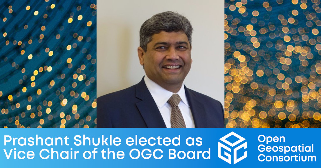
Prashant Shukle brings to the role an understanding of OGC's international operations & partnerships that will benefit the Consortium's governance and strategy.

The Open Geospatial Consortium (OGC) Board of Directors announces that it has elected Prashant Shukle as its new Vice Chair.
“As a global Consortium, we have substantially benefited from Prashant's expertise and perspectives as a Director,” said Jeffrey Harris, Chair of the OGC Board of Directors. “In his new role as Vice Chair we will be able to better leverage his understanding of our international operations and partnerships to improve our Consortium's governance and strategy. His ability to quickly pivot and innovate across our technology-infused mission areas will improve OGC's delivery of mission-driven solutions.”
Prashant Shukle is currently the Chief Strategy and Operating Officer of KorrAI, a Canadian-based Earth Observation startup. He served over thirty years in the Canadian federal public service, with twelve years as Director-General of the Canada Centre for Mapping and Earth Observation. Prashant also serves as a strategic advisor, mentor, and board member for such organisations as the World Geospatial Industry Council, PlaceFund; and the AECO Innovation Lab Board of Experts.
“I am humbled and feel very privileged by the honour of being elected by my colleagues from the OGC Board of Directors,” said Prashant. “My ties to the OGC go back to my friend and mentor, Dr. Bob Moses, who had his company, PCI Geomatics, be the first commercial sponsor of the OGC. I am very eager to continue in the tradition of expanding the frontiers of the OGC by working with the Chair of the Board, Jeff Harris, and all Board Members.”
For a list of current OGC Board Members, see ogc.org/ogc/organization/bod
About OGC
The Open Geospatial Consortium (OGC) is a collective problem-solving community of experts from more than 500 businesses, government agencies, research organizations, and universities driven to make geospatial (location) information and services FAIR – Findable, Accessible, Interoperable, and Reusable.
The global OGC Community engages in a mix of activities related to location-based technologies: developing consensus-based open standards and best-practice; collaborating on agile innovation initiatives; engaging in community meetings, events, and workshops; and more.
OGC's unique standards development process moves at the pace of innovation, with constant input from technology forecasting, practical prototyping, real-world testing, and community engagement.
OGC bridges disparate sectors, domains, and technology trends, and encourages the cross-pollination of ideas between different communities of practice to improve decision-making at all levels. OGC is committed to creating an inclusive and sustainable future.
Visit ogc.org for more info on our work.
“
