
OGC API – Features provides the fundamental API building blocks to create, modify, and query ‘features' on the Web. Part 2 adds the ability to use different coordinate reference systems.
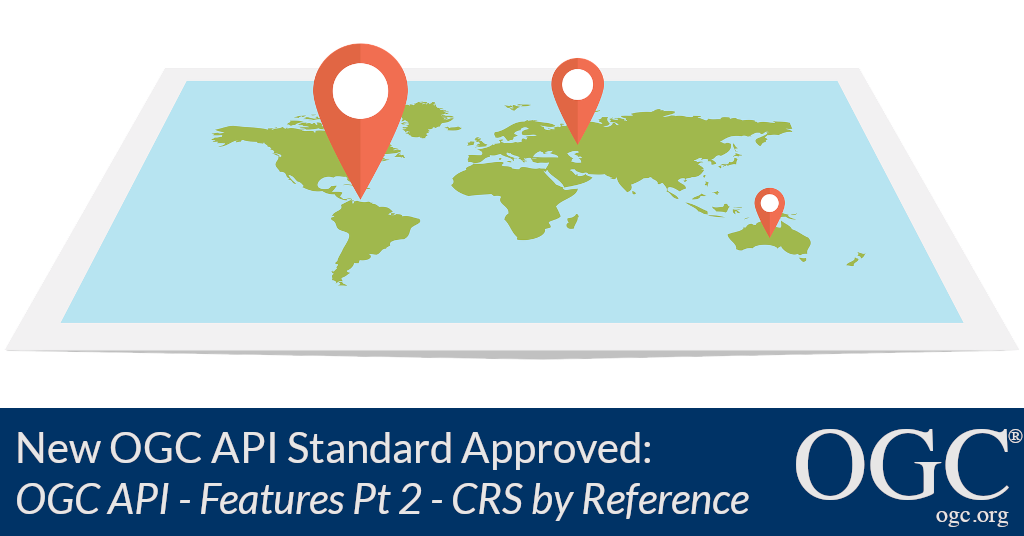
The Open Geospatial Consortium (OGC) is excited to announce the adoption of the latest of its OGC API family of standards: OGC API – Features – Part 2: Coordinate Reference Systems by Reference.
OGC APIs usher in a new age for discovering and accessing location information on the web, enabling a much simpler way to share and access location information that is consistent with the architecture of the Web. The OGC API family of standards defines modular API building blocks to spatially enable Web APIs in a consistent way. Through the OGC APIs, the OGC community is standardizing how location information can be integrated: by any developer, with any other type of information, and into any type of application.
The new OGC APIs make use of the OpenAPI Specification (OAS) – a broadly adopted industry standard for describing modern APIs. APIs that implement OAS provide an interface that enables humans and computers to easily discover and understand the capabilities of a service without having to refer to external documentation or guesswork, greatly improving the accessibility of location data.
OGC API – Features provides the fundamental API building blocks to create, modify, and query ‘features' on the Web (features are simply the digital representations of objects of interest in the real world). OGC API – Features comprises multiple parts, with each part being a separate standard. Whereas OGC API – Features: Part 1 only specifies the use of WGS 84, the new OGC API – Features – Part 2 extends Part 1's capabilities with the ability to use any other Coordinate Reference System (CRS) as long as it is identified by a URI such as the CRSs managed in the EPSG register.
A key advantage to the OGC API – Features standard is the direct, fine-grained access to the data at the feature (object) level, providing greater flexibility for linking of resources on the Web. This OGC standard is consistent with the OGC/W3C Spatial Data on the Web Best Practices.
Specifically, the OGC API – Features – Part 2 standard specifies:
- How, for each offered feature collection, a server advertises the list of supported CRS identifiers;
- How the coordinates of geometry valued feature properties can be accessed in one of the supported CRS;
- How features can be accessed from the server using a bounding box specified in one of the supported CRS; and
- How a server can declare the CRS used to present feature resources, and optionally the coordinate axis order used.
An overview outlining the reasoning behind, approach to, and benefits of our new OGC API family of standards, as well as OGC's evolving approach to standards development, written by OGC CEO Nadine Alameh, was recently published in Geoconnexion Magazine with the title A Future of Location Data Integration.
As with any OGC standard, the open OGC API – Features – Part 2: Coordinate Reference Systems by Reference standard is free to download and implement. Interested parties can view and download the standard from the OGC API – Features Page. Learn more about the OGC API family of standards at ogcapi.org.
About OGC
The Open Geospatial Consortium (OGC) is an international consortium of more than 500 businesses, government agencies, research organizations, and universities driven to make geospatial (location) information and services FAIR – Findable, Accessible, Interoperable, and Reusable.
OGC's member-driven consensus process creates royalty free, publicly available geospatial standards. Existing at the cutting edge, OGC actively analyzes and anticipates emerging tech trends, and runs an agile, collaborative Research and Development (R&D) lab that builds and tests innovative prototype solutions to members' use cases.
OGC members together form a global forum of experts and communities that use location to connect people with technology and improve decision-making at all levels. OGC is committed to creating a sustainable future for us, our children, and future generations.
Visit ogc.org for more info on our work.
“