Subscribe to our Press Release
Subscribe here to receive future Press Releases by email: Subscribe
info [at] ogc.org
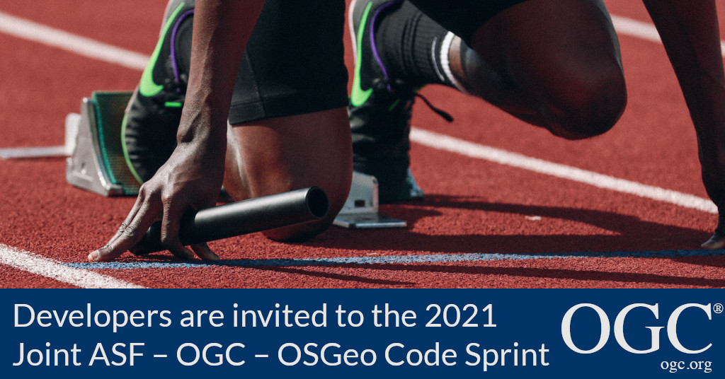
Code sprint will advance multiple ASF, OSGeo projects, and OGC standards – including OGC API standards, the building blocks for location.
The Open Geospatial Consortium (OGC), the Apache Software Foundation (ASF), and Open Source Geospatial Foundation (OSGeo) invite software developers to a joint Virtual Code Sprint on the 17th-19th of February, 2021. The code sprint will run from 7:00am EST until 5:30pm US Eastern each day. Registration for the Code Sprint is here.
The code sprint will cover multiple ASF, OSGeo projects, and OGC standards – including OGC API standards, the “Building Blocks For Location.” All OGC, OSGeo, and ASF projects and working groups are invited to participate. This Sprint is open to the general public, even if you are not active members or contributors to the efforts of the hosting organizations.
A Code Sprint is a collaborative and inclusive event driven by innovative and rapid programming with minimal process and organization constraints to support the development of new applications and candidate standards.
To prepare for the code sprint, a webinar will be held on the 12th of February, 2021, at 10:00am US Eastern. The webinar will set out the scope of the code sprint and provide an overview of the participating groups.
The goal of the code sprint is to advance support of open geospatial standards within the developer community, whilst also advancing the standards themselves. Therefore, the code sprint will enable software developers to focus on projects that implement open geospatial standards for a period of three days.
There will be an opportunity for joint discussion with other participants, as well as daily briefings from each project and working group. However, the majority of the time will be spent in collaboration between participants in active coding.
A GitHub repository for the code sprint has been created for participants in the event.
This Sprint is open to the general public, even if you are not active members or contributors to the efforts of the organizers. To register please visit the 2021 Joint ASF – OGC – OSGeo Code Sprint registration page on the OGC Portal. Registration closes at 9:00am US Eastern on February 16th, 2021.
Sprint Sponsorship
Due to the COVID-19 pandemic, the sprint will be held online only. The only costs expected are the web hosting and web-conferencing infrastructure costs.
In order to cover these costs, the following sponsorship levels are available:
- Gold: 1700 USD
- Silver: 850 USD
Sponsors will benefit from:
- Sponsors’ logos placed on the sprint website as well as on all official presentations used during the sprint
- Acknowledgement in blog posts and the report summarizing the outcome of the sprint
- Acknowledgement in a series of emails and social media posts promoting the sprint
Organizations may sponsor the event either through OGC or OSGeo. Organizations interested in sponsoring the code sprint should contact Gobe Hobona (ghobona [at] ogc.org) and Angelos Tzotsos (tzotsos [at] osgeo.org).
About the Apache Software Foundation (ASF)
Since 1999, The Apache Software Foundation has been shepherding, developing, and incubating Open Source innovations “The Apache Way”. The ASF’s all-volunteer community comprising 813 individual Members and 8,000 Committers on six continents steward 200M+ lines of code, oversee 350+ Apache projects and their communities, and provide $20B+ worth of software to the public at 100% no cost.
About OSGeo
OSGeo is a not-for-profit organization whose mission is to foster global adoption of open geospatial technology by being an inclusive software foundation devoted to an open philosophy and participatory community driven development.
About OGC
The Open Geospatial Consortium (OGC) is an international consortium of more than 500 businesses, government agencies, research organizations, and universities driven to make geospatial (location) information and services FAIR – Findable, Accessible, Interoperable, and Reusable.
OGC’s member-driven consensus process creates royalty free, publicly available geospatial standards. Existing at the cutting edge, OGC actively analyzes and anticipates emerging tech trends, and runs an agile, collaborative Research and Development (R&D) lab that builds and tests innovative prototype solutions to members’ use cases.
OGC members together form a global forum of experts and communities that use location to connect people with technology and improve decision-making at all levels. OGC is committed to creating a sustainable future for us, our children, and future generations.
Visit ogc.org for more info on our work.