Related Content:
-
Blog article
From Mathematics to National Mapping: Fernand Bale on Elevating Côte d’Ivoire’s Geospatial Future
Fernand Bale reflects on leading Côte d’Ivoire’s geospatial transformation and how OGC collaboration is accelerating innovation across Africa.

-
Blog article
Keith Ryden on collaboration, interoperability, and the evolution of open geospatial standards
Keith Ryden, recipient of the 2025 Kenneth D. Gardels Award, reflects on his journey shaping OGC standards—from Simple Features to modern APIs—and the power of...

-
Blog article
The OGC Simple Features Standard: The Silent Backbone of Modern Mapping
The OGC Simple Features Standard powers seamless geospatial data exchange—enabling smart maps, disaster response, and real-time navigation across platforms worldwide.

-
Blog article
What Lies Beneath: The Standard Making Underground Infrastructure Smarter and Safer
Discover how the MUDDI standard is transforming underground infrastructure data to build safer, smarter, and more resilient cities from the ground down.

-
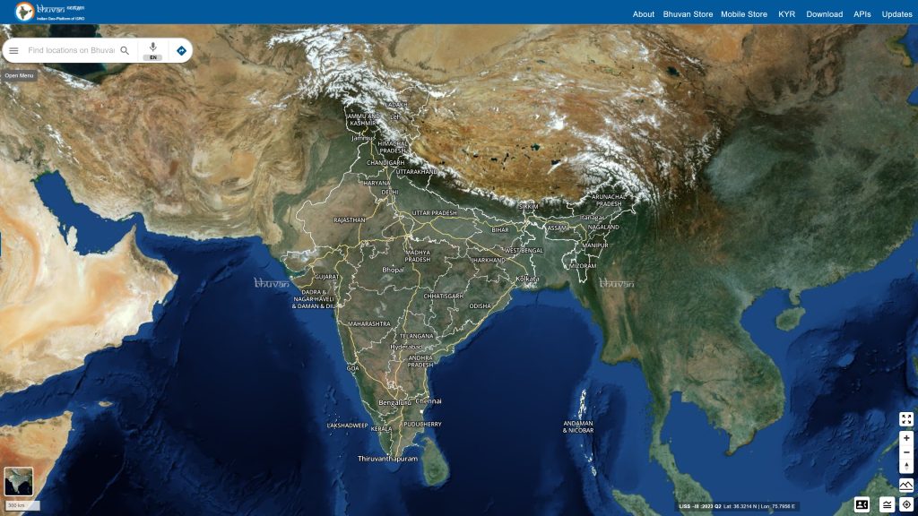
Blog article
Bhuvan: Transforming India’s Governance with Geospatial Insights
The Bhuvan portal, developed by the Indian Space Research Organization’s National Remote Sensing Centre, is powered by OGC Standards and caters to 150,000 unique users...