Showing all results for Health domain
-
List of Domain Working Groups Domain Working Groups (DWGs) cover 10 broad domains: Aviation, Built Environment & 3D, Business Intelligence, Defense & Intelligence, Emergency Response...
-
Below you’ll find an alphabetical list of completed COSI initiatives. Each entry includes a short summary of objectives and activities—and, where applicable, links to outputs....
-
Press release
The OGC Climate Resilience DWG will provide an open forum for the discussion and presentation of interoperability requirements, use cases, pilots, and implementations of OGC...
-
Blog article
Five Things Location Tech Can Do Before the Next Pandemic
Article contributed by Jessie Abbate, PhD, Infectious Disease Ecologist, Epidemiologist, and Geospatial Data Scientist at Geomatys – During its March 2021 members meeting, the Health Domain...
-
Blog article
Four Location-Focused Themes at the 118th OGC Member Meeting
OGC’s Member Meeting is the center of all things for location information. Happening for almost three decades, the meetings focus on everything from evolving core standards...
-
Blog article
Principled and Powerful: Geospatial data for ESG reporting at Location Powers 2022
There was a principled and powerful representation in attendance at OGC’s Location Powers event in London last November. Ordnance Survey hosted the event at the Geovation Hub with 23 speakers over...
-
Press release
The OGC forms working group to advance spatial standards in health domain
4 November 2013 – At the Open Geospatial Consortium (OGC®) Technical Committee plenary meeting on 26 September, the Technical Committee approved the charter for a...
-
Blog article
European Innovation, Global Impact
OGC's ongoing contributions to European research topics, driven by projects co-funded by the European Commission (EC), cover areas such as data spaces, climate, digital building...
-
Blog article
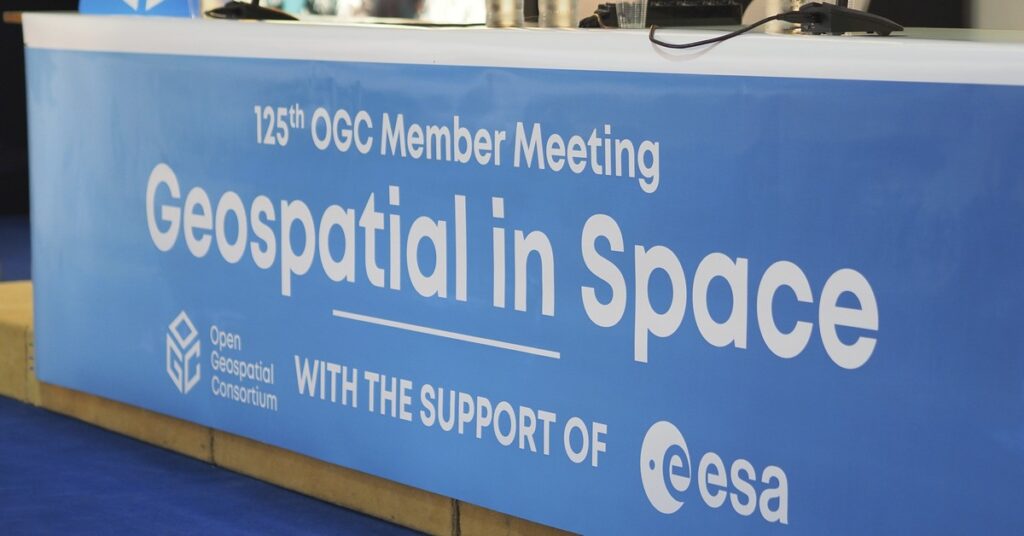
A recap of the 125th OGC Member Meeting, Frascati, Italy
With a theme of "Geospatial in Space" OGC's 125th Member Meeting saw 200+ experts converge on th ESA Centre for Earth Observation (ESRIN) in Frascati,...
-
Blog article
CLIMOS and a FAIR data-to-information value chain
The “raw data to information” value chain underpinning Climate Resilience Information Systems (CRIS) is only made possible when the FAIR data principles are respected –...
-
Blog article
Evolving Spatial Data Infrastructure
Spatial Data is distributed across users, tools, and regions for a variety of purposes via Spatial Data Infrastructure (SDI), but there are additional economic and...
-
Blog article
One of Canada's oldest government institutions, MSC, is also one to keep up with the times by using the latest technologies in its quest to...
-
Blog article
We Remember with fondness the incredible life and contributions of Lance McKee
The OGC family has lost a cherished friend and impassioned supporter of the use of location information and open standards for good. We recently learned...
-
Blog article
Has the Edge Dissolved Itself Already? Or is the Edge the new Cloud?
With the growing number of systems and platforms, the number of platform-specific formats and interfaces increases – and interoperability suffers.
-
Blog article
A Message from Prashant Shukle on Behalf of the OGC Board of Directors
The Board of the OGC has started to develop a transparent, objective, merit-based process for the next Chief Executive Officer of the Open Geospatial Consortium.
-
Blog article
OGC India Forum 2023: Key Highlights from Hyderabad
The OGC India Forum 2023 brought together geospatial experts to discuss and find opportunities to invest and collaborate on open geospatial standards.
-
Initiative
Climate and Disaster Resilience Pilot 2024 Phases 1 & 2
The objective of the Climate and Disaster Resilience Pilot 2024 is to accelerate our collective readiness for climate change and their related disasters by enhancing...
-
Press release
Ivan DeLoatch receives OGC Lifetime Achievement Award
OGC recognizes and celebrates Ivan’s lifetime of service and his steadfast support of geospatial open standards as a component of improved efficiency, governance, and decision-making.The...
-
Initiative
Open Science Persistent Demonstrator
The Open Science Persistent Demonstrator (OSPD) is a long-term inter-agency initiative aiming to enable and communicate reproducible Earth Science across global communities of users and...
-
Press release
OGC Seeking Sponsors for its next Pilot to improve Disaster Management and Response
The Open Geospatial Consortium (OGC), building on the success and outcomes of the Disaster Resilience Pilot, Disaster Pilot 2021, and subsequent preparatory tasks, is now...
-
Press release
OGC Seeking Information Concerning Regional and International Marine Spatial Data Infrastructure
Survey will help shape the OGC Federated Marine Spatial Data Infrastructure (FMSDI) Pilot and potential future FMSDI activities to better serve the Marine Communitys needs.Impact...
-
Press release
OGCs 99th Technical and Planning Committee Meetings to be held 20-24 June in Dublin, Ireland
The Open Geospatial Consortium (OGC®) invites you to join us for our 99th Technical & Planning Committee (TC/PC) Meetings - to be hosted by University...
-
Press release
SELFIE aims to create a standards-based method to publish and use linked data thats compatible with current web development/W3C best practicesThe Open Geospatial Consortium (OGC)...
-
Press release
OGC requests information to guide Disasters Interoperability Concept Development Study
RFI aims to gain understanding of the potential of a Disaster SDI in serving local, national, regional, and international stakeholders.The Open Geospatial Consortium (OGC) requests...
-
Press release
OGC Announces Successful GEOSS Sensor Web Workshop
The great variety of Sensor Web research, implementation and usage in various application domains was reflected in 25 presentations given by workshop participants (http://www.ogcnetwork.net/node/383).The next...
-
Press release
The mission of the workgroup is real property data content standardization and seeks to foster the adoption of standards published by the organizations.Quality data as...
-
Press release
OGC announces a new standard that improves the way information is referenced to the earth
The membership of the Open Geospatial Consortium (OGC®) has approved the Discrete Global Grid System (DGGS) as OGC Abstract Specification - Topic 21 [OGC 15-104r5].The...
-
Press release
Scott Serich appointed OGC Director, Interoperability Programs
The Open Geospatial Consortium (OGC®) announces that it has appointed Dr. Scott Serich as Director, Interoperability Programs.Dr. Serich will support OGC’s participation in the Project...
-
Press release
OGC is seeking data and services for Testbed 13’s mass migration scenario
OGC Testbed 13 participants will implement services, access data, and demonstrate capabilities using the services and data identified during this RFI.The overarching theme for Testbed...


