LAS Specification
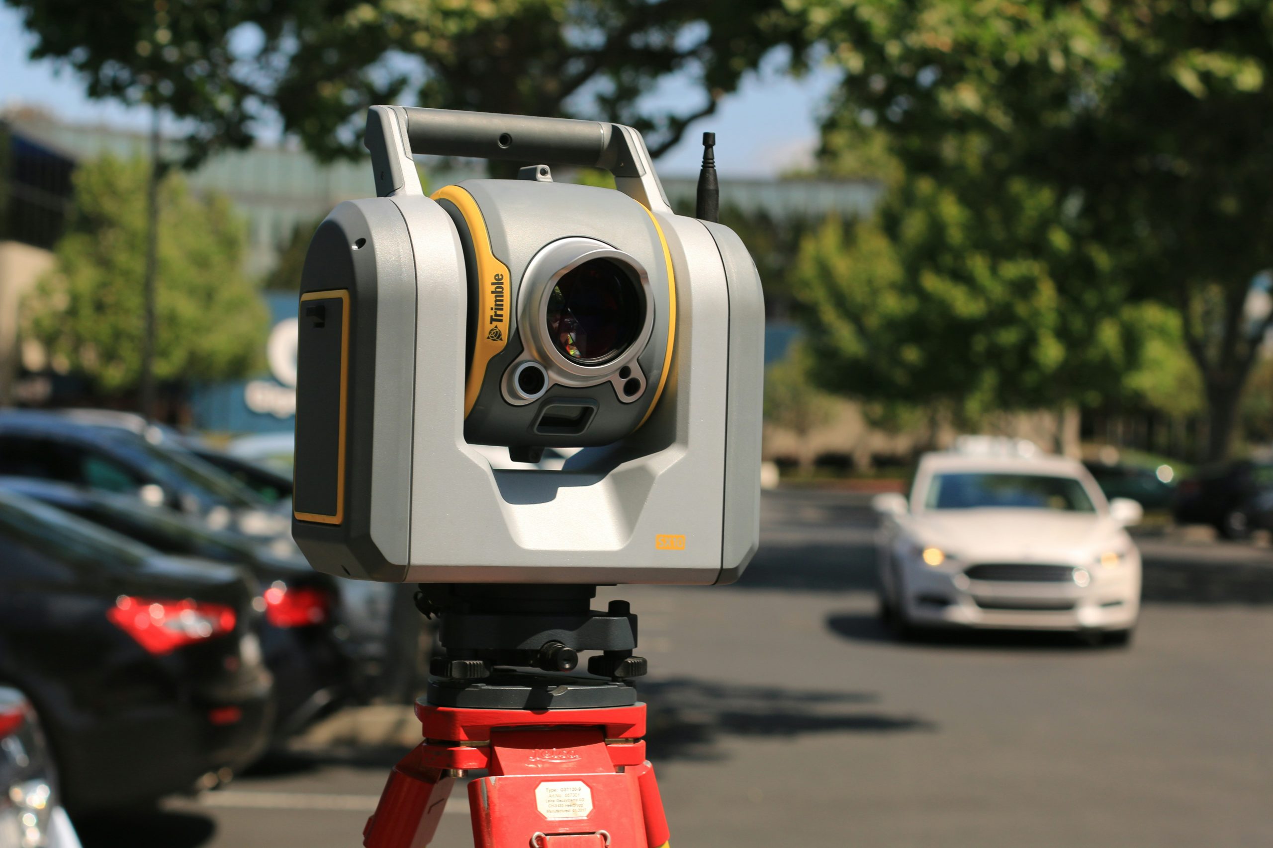
This community standard defines an open format that allows different LIDAR hardware and software tools to output data in a common format.
Downloads
| Document title | Version | OGC Doc No. | Type |
|---|---|---|---|
| LAS Specification 1.4 OGC Community Standard | 1.0 | 17-030r1 | CS |
Official model files and encoding schemas
Related links
No Results Found.
Overview
The LAS file is intended to contain LIDAR (or other) point cloud data records. The data will generally be put into this format from software (e.g. provided by LIDAR hardware vendors) which combines GPS, IMU, and laser pulse range data to produce X, Y, and Z point data. The intention of the data format is to provide an open format that allows different LIDAR hardware and software tools to output data in a common format.